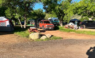
Convenient to shopping in Durango 18 miles west. Nice community market with surprisingly well stocked produce and wine selections. Bayfield offers several restaurants, some antique stores, a Napa, Tractor Supply and Dollar General among other small retailers including a laundromat. Propane refills at the Speedway and potable water at the Maverik between Bayfield and Durango.
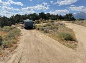
Access is by FS628. We strongly recommend that eastbound campers in large rigs, whether motor homes or pulling trailers, use the turnoff from the Bayfield Parkway at the Conoco gas station because the eastern turnoff involves a hairpin right turn that we would have been unable to make with our 5th wheel. FS626 and 627 are well maintained gravel roads. There is one sharp, blind corner on 627 that needs to be taken at the posted 15 mph speed. The first turn off to the right on 627 is the access road to Sauls Creek. Despite exploring most of the side roads, we never found a formal campground, so our experience is with the dispersed camping. The campground is closed in the winter for wildlife management purposes. Contact the San Juan FS office in Bayfield for specific dates.
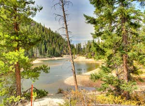
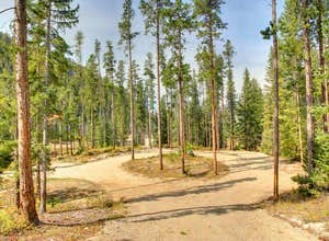
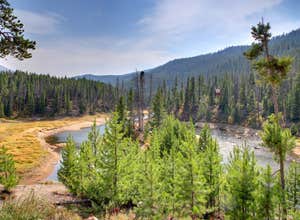
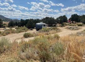
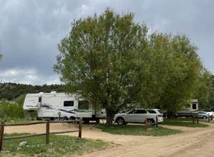
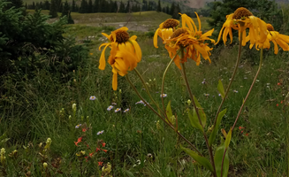
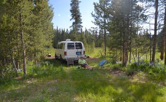
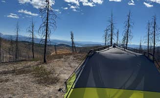
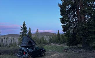
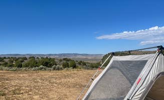
628 and its smaller branches are narrow but well maintained dirt roads which might be muddy during wet weather and dusty other times. The camping sites are widely spaced and either open meadow or tucked into the pines. Most are car/van or small RV sites but we did find several that would accommodate large rigs or serve for group camping. Traffic was light, mostly residents of ranches at the end of some of the branches off 628 or service trucks tending to a few natural gas pumpers scattered around. Off-road vehicle travel is prohibited, so we saw (heard) only a couple of motorbikes and quads. Dog walkers, joggers and horseback riders were most frequent passers-by. We could see a few RVs at a distance but never had any actual neighbors.
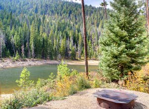
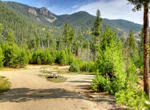
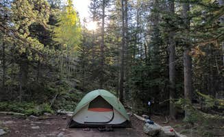
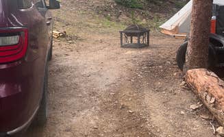
We found a beautiful site off 755A on a pine covered hill with meadow views on three sides. It was a keyhole site with a turnaround a little too tight for our 41’ so we had to back out when leaving. We had good solar but also adequate shade and breezes which were most appreciated when temperatures hit 90 on several days during our stay. There were a couple of rock fire circles but no downed wood for fires. No cutting down of standing trees! Also we were under Stage 2 fire restrictions so did not have a campfire.
We were reluctant to move on but stay limit is 14 days. No amenities — haul in and haul out.