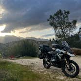
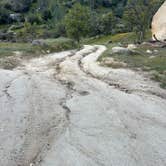
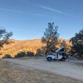
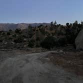
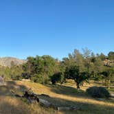
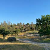
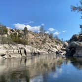
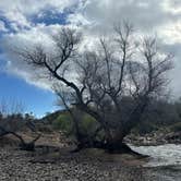
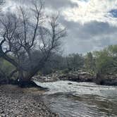
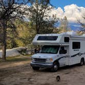
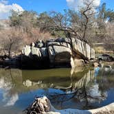
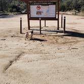
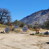
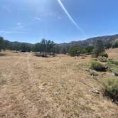
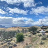
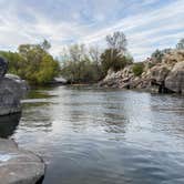
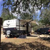
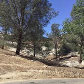
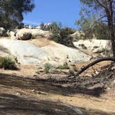
This free BLM dispersed camping area stretches along Keyesville Road, providing multiple pullouts and open areas suitable for everything from tents to Class A RVs. The dirt road access remains manageable for most vehicles, though therealquaid D. notes that "Class C was able to make it through a few of the dirt roads no problem" while warning against the steep final descent near the water.
Campers find established fire rings at most sites, with vault toilets and dumpsters positioned at staging areas along the main road. The recreation area sees heavy weekend traffic from off-road vehicles, dirt bikes, and ATVs from Thursday through Sunday. Spots closest to the Kern River fill quickly during peak times, with one reviewer counting "easily 20+ vehicles on an April weekend" at the waterfront area.
Road conditions vary throughout the area, requiring advance scouting for larger rigs. Several campers report rutted sections and recommend walking potential sites first. Cell service remains available, and the area stays relatively quiet during weeknight hours despite regular traffic on Keyesville Road.
For campers wanting more remote options, Kern River BLM Dispersed near Lake Isabella offers similar amenities just northeast of this location.
Description
Keysville (formerly Keyesville) is a historic mining area that offers a wide variety of recreational opportunities. Set in rolling terrain amidst a blue oak and foothill pine woodland, Keysville is dissected by the lower Kern River. A little exploration can turn up a wealth of historic resources, including a variety of mining structures and features, a historic fort, and the famous Walker Cabin. Keysville offers commercial and noncommercial white-water rafting opportunities as well as fishing, recreational gold panning, and dispersed camping. A network of over seventy miles of trails provides for mountain biking, equestrian, and motorized recreation use.
Travel Responsibly - on designated roads and trails or in permitted areas
Respect The Rights of Others - including private property owners and all recreational trail users, campers and others to allow them to enjoy their recreational activities undisturbed. Educate Yourself - by obtaining travel maps and regulations from public agencies, planning for your trip, taking recreation skills classes and knowing how to use and operate your equipment safely. Avoid Sensitive Areas - such as meadows, lakeshores, wetlands and streams, unless on designated routes. Do Your Part - by leaving the area better than you found it, properly disposing of waste, minimizing the use of fire, avoiding the spread of invasive species, restoring degraded areas and joining a local enthusiast organization.
https://www.blm.gov/sites/blm.gov/files/documents/files/Keysville%20arch%20E%20low%20res.pdf
RV Road Trip Guides

Map & DirectionsKeyesville Recreation Area Dispersed is located in California near Lake Isabella
 Dispersed Camping
Coordinates
35.62549624295254 N
118.4930230315528 W
Connectivity
 T-Mobile5GExcellent CoverageVerified by 4 usersLast on 10/21/26
 VerizonLTESome CoverageVerified by 8 usersLast on 10/21/26
- AT&T5GExcellent CoverageVerified by 26 usersLast on 10/21/26
Connectivity
- T-Mobile5GExcellent CoverageVerified by 4 usersLast on 10/21/26
- VerizonLTESome CoverageVerified by 8 usersLast on 10/21/26
- AT&T5GExcellent CoverageVerified by 26 usersLast on 10/21/26
Access
- Drive-InPark next to your site
- Walk-InPark in a lot, walk to your site.
Site Types
- Dispersed
Features
For Campers
- ADA Access
- Trash
- Phone Service
- Toilets
- Pets
- Fires
For Vehicles
- Big Rig Friendly
DISPERSED CAMPING
Enjoy dispersed camping on government land and leave no trace. Pack in and pack out. No (or limited) services at this camping area. Permit may be required.
PERMIT might be REQUIRED
We curate permit requirements across the US for our PRO members. Try PRO to see if Keyesville Recreation Area Dispersed needs a permit.
Drive Time
- 50 min from Bakersfield, CA
- 1 hr 47 min from Visalia, CA
- 1 hr 55 min from Hanford, CA
- 2 hrs 35 min from Oxnard, CA