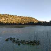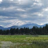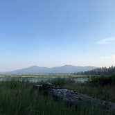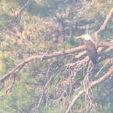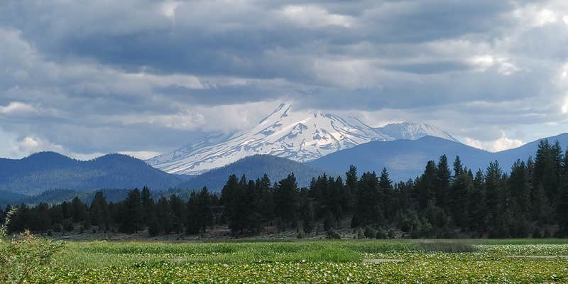
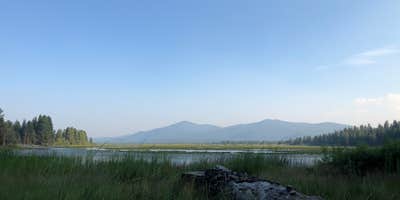
Fishing, bird watching, and non-motorized boating draw visitors to Orr Lake Campground, a US Forest Service site set along a small lily pad-covered lake in Klamath National Forest. The lake has three or four small docks, though heavy lily pad and weed growth limits boating and can make shore fishing difficult. Anglers with a kayak or canoe will have an easier time reaching open water. A bald eagle has been spotted nesting on the property, adding a wildlife-watching dimension beyond the fishing.
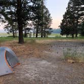
The campground has roughly six lakeside sites well-suited to tents or small RVs (max 30 ft), plus four group sites on the north side of the lake. Picnic tables, fire rings, and a distinctive BBQ setup are on-site. Reviewers consistently note the pit toilets as among the cleanest they have encountered at a comparable site, and dumpsters with recycling bins are available. There is no water, sewer, or electrical hookup, so RV campers will be self-sufficient. Cell service is listed as available, though coverage in forested areas can vary.
"Very peaceful and secluded on the shore of a small lily pad covered lake," notes Malcolm D. One practical heads-up: bullfrogs are active through the night. A nearby forestry road leads to the top of Mt. Orr, where a fire lookout tower sits, worth the drive for the elevated views. Nearby alternatives include Shafter Campground about three miles north for campers who want to compare options in the area. Orr Lake is a good match for anglers, paddlers, and campers who come prepared to boondock.
RV Road Trip Guides


Map & DirectionsOrr Lake Campground is located in California near Macdoel
 Public Campground
Directions
From I-5 in Weed, CA travel northwest on US Hwy 97 approx 28 miles to Tennant Road. Turn east on Tennant Road approx 5 miles to Old State Hwy. Turn onto Old State Hwy to the town of Bray. At Bray turn north (left) on Forest Service Road 44N30X cross the Railroad tracks and continue for 2 miles to the campground. Or, from Hwy 97 at Macdoel go south on Old State Hwy approx 15 miles to the town of Bray. At Bray turn north (right) on Forest Service Road 44N30X cross the Railroad tracks and continue for 2 miles to the campground.
Coordinates
41.6675177 N
121.99164782 W
Connectivity
 T-MobileNo Coverage
- VerizonNo CoverageVerified by 2 usersLast on 8/17/26
- AT&TNo Coverage
Connectivity
- T-MobileNo Coverage
- VerizonNo CoverageVerified by 2 usersLast on 8/17/26
- AT&TNo Coverage
Access
- Drive-InPark next to your site
- Walk-InPark in a lot, walk to your site.
- Boat-InSites accessible by watercraft.
Site Types
- Tent Sites
- RV Sites
- Standard (Tent/RV)
- Group
Features
For Campers
- ADA Access
- Trash
- Picnic Table
- Phone Service
- Drinking Water
- Toilets
- Alcohol
- Pets
- Fires
Drive Time
- 2 hrs 11 min from Medford, OR
- 2 hrs 38 min from Grants Pass, OR
- 3 hrs 3 min from Redding, CA