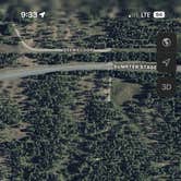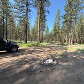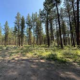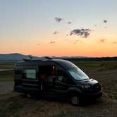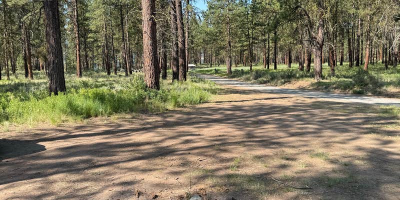
A short road off the main route leads to four dispersed sites set among trees in Whitman National Forest, with a restroom at the end. The forest floor stays notably clean, so bring firewood from outside the area. Sites closer to the trailhead are sized for small trailers; continuing down the road reaches open ground near a dammed lake with wide sightlines toward the water. Road noise is audible from the upper sites with windows open. For camping near Sumpter, this trailhead gives access to both shaded tree cover and open lakeshore camping depending on your rig size and road conditions.
RV Road Trip Guides

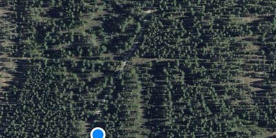
Map & DirectionsSocial Security Point Trailhead is located in Oregon near Sumpter
 Dispersed Camping
Coordinates
44.6916965 N
118.047523 W
Connectivity
 T-MobileLTESome CoverageVerified by 1 userLast on 7/23/26
 VerizonLTEGood CoverageVerified by 25 usersLast on 9/17/26
- AT&TLTESome CoverageVerified by 1 userLast on 4/14/26
Connectivity
- T-MobileLTESome CoverageVerified by 1 userLast on 7/23/26
- VerizonLTEGood CoverageVerified by 25 usersLast on 9/17/26
- AT&TLTESome CoverageVerified by 1 userLast on 4/14/26
Access
- Drive-InPark next to your site
Site Types
- Tent Sites
- Standard (Tent/RV)
- Dispersed
Features
For Campers
- ADA Access
- Phone Service
- Toilets
- Alcohol
- Pets
- Fires
For Vehicles
- Big Rig Friendly
DISPERSED CAMPING
Enjoy dispersed camping on government land and leave no trace. Pack in and pack out. No (or limited) services at this camping area. Permit may be required.
PERMIT might be REQUIRED
We curate permit requirements across the US for our PRO members. Try PRO to see if Social Security Point Trailhead needs a permit.
Drive Time
- 2 hrs 9 min from Boise, ID
- 2 hrs 29 min from Walla Walla, WA
- 2 hrs 44 min from Kennewick, WA
- 4 hrs 4 min from Lewiston, ID