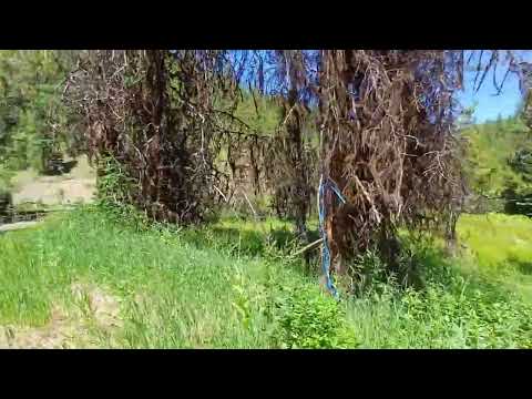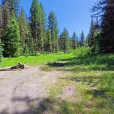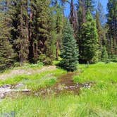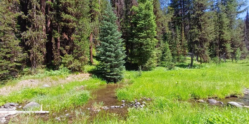
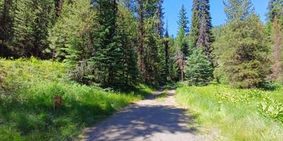
A narrow access path and a creek-side clearing define Lunch Creek, a free dispersed site in Malheur National Forest. Smaller vehicles can navigate the path to a flat spot along the creek, but larger rigs will find the road too narrow and the center crown too high. No cell service exists here for Verizon or AT&T users. Campers exploring primitive camping near Malheur National Forest will find this one worth noting for its low-traffic feel and green surroundings in summer. No amenities are provided, so pack out all waste.
RV Road Trip Guides

Map & DirectionsLunch Creek is located in Oregon near Prairie City
 Dispersed Camping
Coordinates
44.539999999999765 N
118.538199999999 W
Connectivity
 T-MobileNo Coverage
- VerizonNo Coverage
- AT&TNo Coverage
Connectivity
- T-MobileNo Coverage
- VerizonNo Coverage
- AT&TNo Coverage
Access
- Drive-InPark next to your site
- Walk-InPark in a lot, walk to your site.
Site Types
- Tent Sites
- RV Sites
- Standard (Tent/RV)
- Dispersed
- Group
Features
For Campers
- Alcohol
- Pets
DISPERSED CAMPING
Enjoy dispersed camping on government land and leave no trace. Pack in and pack out. No (or limited) services at this camping area. Permit may be required.
Drive Time
- 2 hrs 30 min from Boise, ID
- 3 hrs 6 min from Walla Walla, WA
- 3 hrs 7 min from Bend, OR
- 3 hrs 21 min from Kennewick, WA