
Erma Bell Trailhead sits within Willamette National Forest, managed by the US Forest Service, with creek and lake access nearby making it a logical base for exploring the surrounding high country. The campground is an established site, so basic infrastructure is in place. Taylor Burn lies just to the east, and North Waldo Lake is roughly four miles southeast. Plan for self-sufficient camping and arrive with water treatment gear given the proximity to natural water sources.
Description
This trailhead provides access to: * Erma Bell Lakes Trail #3563 which enters Waldo Lake Wilderness * Wahanna Trail #3583 * Black Creek Trail #3551 * Blair Lake Trail #3553 See Trail pages for more information.
RV Road Trip Guides

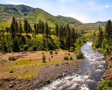
Map & DirectionsErma Bell Trailhead is located in Oregon near Deschutes National Forest
 Public Campground
Directions
Access from: * Erma Bell Trailhead
Coordinates
43.81473516 N
122.03671428 W
Connectivity
 T-MobileNo Coverage
- VerizonNo Coverage
- AT&TNo Coverage
Connectivity
- T-MobileNo Coverage
- VerizonNo Coverage
- AT&TNo Coverage
Access
Site Types
- Tent Sites
Features
Drive Time
- 1 hr 54 min from Bend, OR
- 2 hrs 59 min from Eugene, OR
- 3 hrs 26 min from Albany, OR
- 3 hrs 34 min from Corvallis, OR

