Established Camping
Sheepshead Picnic Area
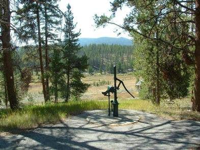
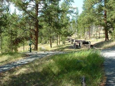
Sheepshead Picnic Area is located in the Beaverhead-Deerlodge National Forest, featuring forested terrain with nearby hills. The weather in this area typically sees highs around 80°F in summer and lows near 10°F in winter. Visitors can explore the nearby Continental Divide Trail and the historic mining town of Butte.
Description
USDA Forest Service
Beaverhead-Deerlodge National Forest
Overview
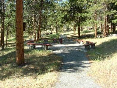
Sheepshead Pavilion is available for reservations for private gatherings from mid-June through Labor Day weekend. The pavilion will accommodate about 200 people. It includes picnic tables, barbecue grills and water. There is no electricity to the pavilion, if electricity is needed please bring a generator.__ Fees are based on group size: $75 per day for groups 1-50 $125 per day for groups 51-100__ $200 per day for groups 101-200 With a 2+ day reservation, overnight use may be granted, but only with prior approval. For more information on fees or overnight use please call the Butte Ranger District at (406) 494-2147 during regular business hours or email Scott Forman: scott.forman@usda.gov.
Recreation
Recreational opportunities at Sheepshead include horseshoe pits, nature trails, volleyball courts, ball field and a paved walking trail.__All pavilion picnic tables must be returned to their original location, if moved. All trash must be placed in a trash reciptical before vacanting the facility; no personal items can be left behind.
Facilities
Handicapped Accessible
Natural Features
contact_info
For facility specific information, please call (406) 494-2147.
Nearby Attractions
Fee Info
Fees are based on group size: $75 per day for groups 1-50 $125 per day for groups 51-100__ $200 per day for groups 101-200__
Location
Sheepshead Picnic Area is located in Montana
Directions
From Butte, take I-15/I-90 east for approximately 1 mile. Merge onto I-15 north and continue for approximately 12 miles. Take the Elk Park exit (no. 138) and drive west on Forest Service road #442 (Lowland Creek Road) for approximately 6 miles. Turn right onto Forest Service road #9485 and continue for approximately 2 miles. Turn left at the junction (Freedom Point) and drive approximately 1/8 mile; the campground is on the right. The road is a gravel road suitable for passenger vehicle access.
Address
1820 Meadowlark Lane
Butte, MT 59701
Coordinates
46.1555556 N
112.465 W
Access
- Drive-InPark next to your site
Stay Connected
- WiFiGood
- VerizonGood
- AT&TUnknown
- T-MobileAvailable
Site Types
- Tent Sites
- Group
Features
Drive Time
- 1 hr 6 min from Helena
- 1 hr 35 min from Bozeman
- 2 hrs 8 min from Missoula
- 2 hrs 18 min from Great Falls


