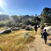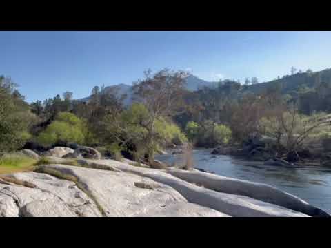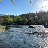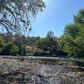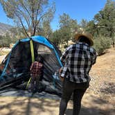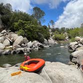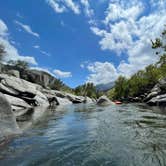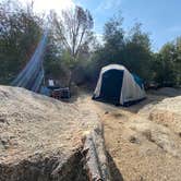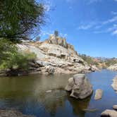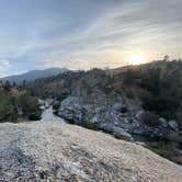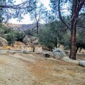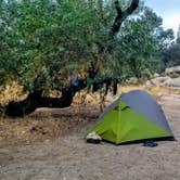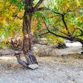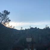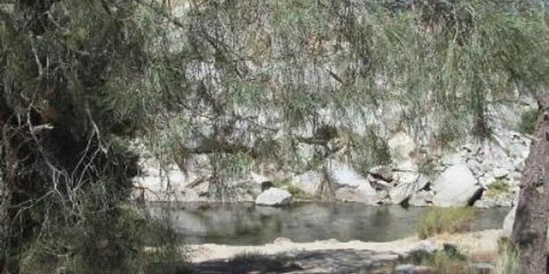
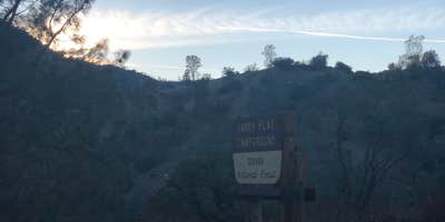
The sound of the Kern River flowing through a canyon defines the experience at Sandy Flat, where 32 sites spread across forested and open terrain along the water's edge. This US Forest Service campground sits within Sequoia National Forest, accommodating everything from walk-in tent camping to RVs up to 50 feet with full hookups.
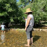
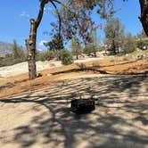
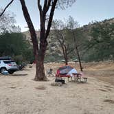
Sites vary dramatically in character and privacy. Some spots nestle between large boulders for natural screening, while others occupy open areas closer to the access road. River-adjacent sites fill first, offering direct water access for swimming and rock climbing along the banks. Daniel M. warns that "site 9" requires scaling "down a medium incline just to get from your car to the camp flat" and sits downwind from restrooms.
The campground operates year-round, though winter storms can bring snow to the canyon. Summer temperatures exceed 100 degrees with limited shade in some areas, making river access essential for cooling off. Fire restrictions may apply during peak heat periods. Campers consistently mention the proximity to nearby hot springs and recommend bringing water shoes and bug repellent for river activities.
For those wanting more remote options, Black Gulch on Kern River offers a different setting just over a mile upstream.
Description
Overview
Sandy Flat Campground is set back from the Lower Kern River at an altitude of 2,300 feet near the town of Lake Isabella. Campsites are a short walk from the river, offering countless recreational opportunities for visitors.
Recreation
Hiking, trout fishing, river wading and floating are popular pursuits. The Hobo Fishing Trail, a short walking trail, is nearby. Click here to learn more about the Lower Kern River, including safety and permitting requirements and a listing of local outfitters.
Facilities
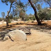
Campsites are set along one loop in largely open sites. Large boulders, relics of the ice age, are scattered throughout the campground. River access is in the day camp area. Drinking water, picnic areas and vault toilets are provided.
Natural Features
The Sequoia National Forest, located at the southern end of the Sierra Nevada in central California, takes its name from the giant sequoia, the world's largest tree, which grows in more than 30 groves on the Forest's lower slopes. The Forest comprises about 1.1 million acres, and elevations range from about 1,000 to 12,000 feet, creating precipitous canyons and mountain streams with spectacular waterfalls such as Salmon Creek Falls and Grizzly Falls.
Nearby Attractions
The Giant Sequoia Mercantile offers a wide variety of books, maps, gifts, local art, camping supplies and other merchandise.
Contact Info
For facility specific information, please call (760) 376-1269.
Warning 2 Alerts are In Effect
There are 2 alerts for this campground. Camp safely!
Warning 2 Alerts are In Effect
There are 2 alerts for this campground. Camp safely!
- To protect natural resources and provide for public safety, the following acts are prohibited below 5,000 feet in elevation within the Sequoia National Forest.1. Building, maintaining, attending, or using a fire, campfire, or stove fire, except in the designated Campfire Areas listed in Exhibits A, B or C. C.F.R. 261.52(a).2. Smoking, except within an enclosed vehicle or building or within the areas listed in Exhibits A, B or C. 36 C.F.R. 261.52(d).3. Operating an internal combustion engine, except on a designated National Forest System road, trail, or within the areas listed in Exhibits A, B or C. 36 C.F.R. 261.52(g).4. Welding, or operating an acetylene or other torch with an open flame, except within the areas listed in Exhibits A, B or C. Alert Start Date: June 10, 2026 Alert End Date: November 30, 2026
Fire Restrictions**Pursuant to 16 U.S.C. 551 and 36 C.F.R. 261.50(a), and to protect natural resources and provide for public safety, the following acts are prohibited within the Sequoia National Forest. This Order is effective from August 11, 2026, through November 30, 2026.**1. Building, maintaining, attending, or using a fire, campfire, or stove fire, except in the designated Campfire Areas listed in Exhibits A or B. 36 C.F.R. 261.52(a).2. Smoking, except within an enclosed vehicle or building or within the areas listed in Exhibits A or B. 36 C.F.R. 261.52(d).3. Operating an internal combustion engine, except on a designated National Forest System road, trail, or within the areas listed in Exhibits A or B. 36 C.F.R. 261.52(g).4. Welding, or operating an acetylene or other torch with an open flame, except within the areas listed in Exhibits A or B. 36 C.F.R. 261.52(h).Pursuant to 36 C.F.R. 261.50(e), the following persons are exempt from this Order:1. Any Federal, State, or local officer, or member of an organized rescue or fire fighting force in the performance of an official duty.**2. Persons with a valid California Campfire Permit are not exempt from the prohibitions listed above. However, persons with a valid California Campfire Permit may use a stove or lantern that uses gas, kerosene, jellied petroleum, or pressurized liquid fuel and has a shut-off valve, or a propane-fueled campfire pit with an on/off switch (wood-burning campfire pits are prohibited) in an area at least five feet from any flammable materials.**3. Persons with a valid 2026 Forest Products Removal Permit (fuelwood permit) from the United States Forest Service are not exempt from the prohibitions listed above, but may operate an internal combustion engine off National Forest System roads and trails only to the extent necessary to cut fuelwood, provided the cutting of fuelwood is done in compliance with the terms of the fuelwood permit.4. Persons with a Forest Service non-special use written authorization to conduct non-recreational activities, such as harvesting timber or forest products, or grazing livestock, are exempt from Prohibition Nos. 3 and 4, to the extent allowed by the written authorization.These prohibitions are in addition to the general prohibitions contained in 36 C.F.R. Part 261, Subpart A.A violation of these prohibitions is punishable by a fine of not more than $5,000 for an individual or $10,000 for an organization, or imprisonment for not more than 6 months, or both. 16 U.S.C. 551 and 18 U.S.C. 3559, 3571, and 3581. This Forest Order supersedes Forest Order 0513-26-05, signed on June 9, 2026.
RV Road Trip Guides
Map & DirectionsSandy Flat is located in California near Bodfish
 Public Campground
Directions
From Highway 99, take Highway 178 east for 4 miles. Turn right on Borel Road, then right onto the Old Canyon Road. Continue about 2 miles, then turn right into Sandy Flats Campground.
Coordinates
35.574714 N
118.529933 W
Connectivity
 T-Mobile5GGood CoverageVerified by 1 user
 VerizonNo CoverageVerified by 3 usersLast on 10/20/26
- AT&TNo CoverageVerified by 1 userLast on 2/18/26
Connectivity
- T-Mobile5GGood CoverageVerified by 1 user
- VerizonNo CoverageVerified by 3 usersLast on 10/20/26
- AT&TNo CoverageVerified by 1 userLast on 2/18/26
Access
- Drive-InPark next to your site
- Walk-InPark in a lot, walk to your site.
- Boat-InSites accessible by watercraft.
Site Types
- Tent Sites
- RV Sites
- Standard (Tent/RV)
- Group
Features
For Campers
- Trash
- Picnic Table
- Firewood Available
- Reservable
- Toilets
- Alcohol
- Pets
- Fires
For Vehicles
- Sewer Hookups
- Water Hookups
- Big Rig Friendly
Contact
General Info
Reservations
Drive Time
- 45 min from Bakersfield, CA
- 1 hr 42 min from Visalia, CA
- 1 hr 50 min from Hanford, CA
- 2 hrs 32 min from Oxnard, CA