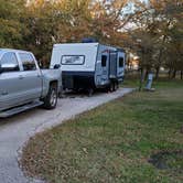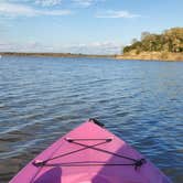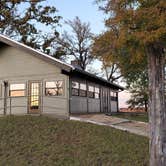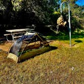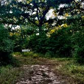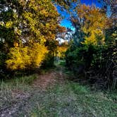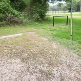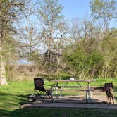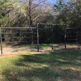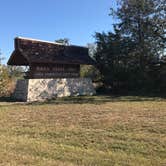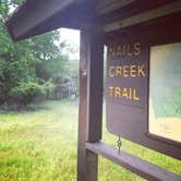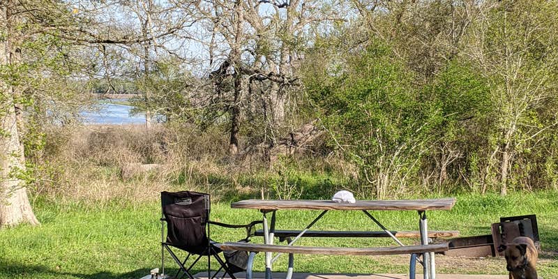
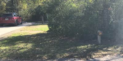
Managed by Texas Parks and Wildlife Department, Lake Somerville State Park's Nails Creek Unit sits along the central Texas shore of Lake Somerville, where campsites with paved, level pads give paddlers and equestrians a functional base close to the water. The park is one of three units spread along the lake, and this mid-sized unit draws a mix of campers arriving by vehicle, on horseback, and by kayak or canoe. Sites in the equestrian area include individual corrals, and several spots have open sightlines toward the lake, though direct trail access to the shoreline can require picking through tall grass rather than following a marked path.
Hookup sites run $20 per night with water, electric, and sewer connections available, while primitive sites come in lower. Restrooms and showers are on-site and reviewers consistently describe them as clean. AT&T cell service has worked well enough for hotspot use, though coverage is not guaranteed across the entire park. The trail network connects to the Birch Creek Unit several miles away, giving hikers and mountain bikers more mileage to work with, though at least two bridges on the Trailway have been out, which limits through-routing. Kayak and canoe rentals are available at low cost for those who didn't bring their own.
Ashley C. notes that "bathrooms and showers have good access from the sites and are kept clean." Wildlife sightings, including Great Blue Herons, deer, coyotes, and owls, are common, and the park is known regionally for birding. Portions of the park close during scheduled public hunts, so checking the calendar before arrival is worth the effort. Campers wanting a more remote experience within the same unit can look at Mill Pond Primitive Campsite — Lake Somerville State Park Nails Creek Unit or Flag Pond Primitive Campsite — Lake Somerville State Park Nails Creek Unit as walk-in alternatives.
Description
This recreation area is part of Somerville Lake
RV Road Trip Guides

Map & DirectionsLake Somerville State Park Nails Creek Unit Campground is located in Texas near Burton
 Public Campground
Directions
From Houston: Take US 290 West through Brenham until you reach FM 180. Turn right on FM 180, follow it for 15 miles until it dead ends at the park. From Austin: Take US 290 East through Giddings until you reach FM 180. Turn left on FM 180, follow it for 15 miles until it dead ends at the park.
Address
6280 FM 180
Ledbetter, TX 78946
Coordinates
30.29276246 N
96.66456512 W
Connectivity
 T-MobileLTESome Coverage
- VerizonLTESome Coverage
 AT&T5GExcellent CoverageVerified by 1 user
Connectivity
- T-MobileLTESome Coverage
- VerizonLTESome Coverage
- AT&T5GExcellent CoverageVerified by 1 user
Access
- Walk-InPark in a lot, walk to your site.
- Hike-InBackcountry sites.
- Boat-InSites accessible by watercraft.
Site Types
- Tent Sites
- RV Sites
- Standard (Tent/RV)
- Group
- Cabins
- Equestrian
Features
For Campers
- Picnic Table
- Reservable
- Showers
- Electric Hookups
For Vehicles
- Sanitary Dump
- Water Hookups
- 30 Amp Hookups
- 50 Amp Hookups
- Big Rig Friendly
Drive Time
- 59 min from College Station, TX
- 1 hr 16 min from Austin, TX
- 1 hr 22 min from Houston, TX
- 1 hr 53 min from Killeen, TX