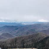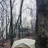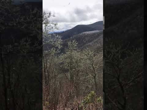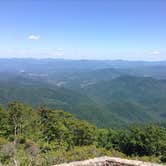
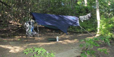
Reached via the Appalachian Trail from Winding Stair Gap, Wayah Bald Shelter sits above 5,300 feet in Nantahala National Forest, roughly 11 miles of hiking from the trailhead. No pets are permitted. Flat tent sites cluster near the shelter, water access requires a moderate, short downhill walk, and a privy is close by. The shelter sits past the Wayah Bald observation tower, beyond the Bartram Trail junction, where the open bald breaks the tree canopy. Wayah Bald Campground, 0.4 miles southeast near the tower, has a reliable water source along the Bartram Trail section and serves as a useful backup if the shelter is full. Cell service is not reliable at this elevation, so download maps before leaving the trailhead.
Description
Shelter on the Appalachian Trail's North Carolina section.
RV Road Trip Guides


Map & DirectionsWayah Bald Shelter is located in North Carolina near Nantahala National Forest
 Public Campground
Coordinates
35.18945 N
83.5644 W
Connectivity
 T-MobileNo Coverage
 VerizonLTESome Coverage
- AT&TLTESome Coverage
Connectivity
- T-MobileNo Coverage
- VerizonLTESome Coverage
- AT&TLTESome Coverage
Access
Features
Drive Time
- 1 hr 35 min from Asheville, NC
- 1 hr 47 min from Gainesville, GA
- 2 hrs 46 min from Knoxville, TN