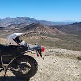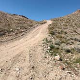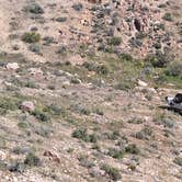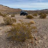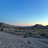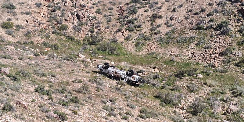
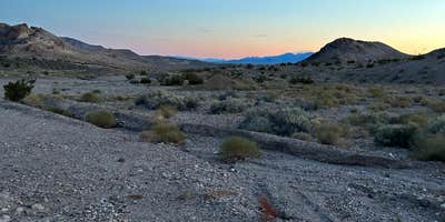
BLM-managed dispersed camping on Summit Well Road sits within the Tonopah Field Office jurisdiction, west of Beatty and close to the Death Valley boundary. The terrain is open and gravel-road accessible, though reviewers suggest a 4x4 is the smarter choice. Verizon coverage has been reported as reliable. Wild burros and coyotes are active in the area, particularly at night. Dogs are welcome, and campfires are permitted. Nearby West Summit Road offers a comparable dispersed option if this stretch is occupied.
RV Road Trip Guides

Map & DirectionsSummit Well Road is located in Nevada near Beatty
 Dispersed Camping
Coordinates
36.90718697 N
116.7933756 W
Connectivity
 T-Mobile5GExcellent CoverageVerified by 1 userLast on 10/19/26
 VerizonLTESome CoverageVerified by 9 usersLast on 10/19/26
- AT&TLTESome CoverageVerified by 6 usersLast on 10/19/26
Connectivity
- T-Mobile5GExcellent CoverageVerified by 1 userLast on 10/19/26
- VerizonLTESome CoverageVerified by 9 usersLast on 10/19/26
- AT&TLTESome CoverageVerified by 6 usersLast on 10/19/26
Access
- Drive-InPark next to your site
- Walk-InPark in a lot, walk to your site.
Site Types
- Tent Sites
- RV Sites
- Standard (Tent/RV)
- Dispersed
- Group
Features
For Campers
- ADA Access
- Phone Service
- Alcohol
- Pets
- Fires
DISPERSED CAMPING
Enjoy dispersed camping on government land and leave no trace. Pack in and pack out. No (or limited) services at this camping area. Permit may be required.
PERMIT might be REQUIRED
We curate permit requirements across the US for our PRO members. Try PRO to see if Summit Well Road needs a permit.
Drive Time
- 1 hr 31 min from Las Vegas, NV
- 3 hrs 45 min from Bakersfield, CA
- 4 hrs 48 min from Visalia, CA
- 4 hrs 55 min from Hanford, CA