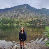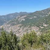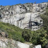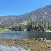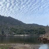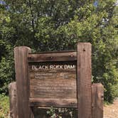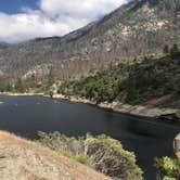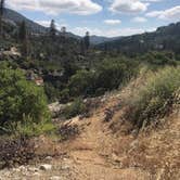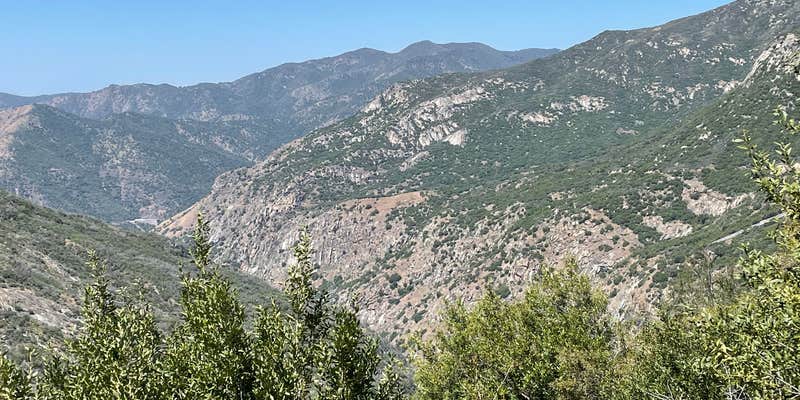
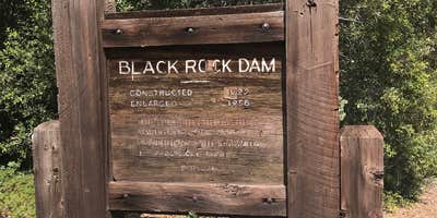
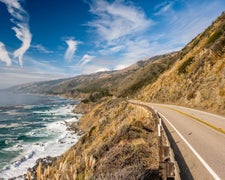
Sierra National Forest's Black Rock Campground sits beside a PG&E-operated reservoir along a rough dirt road between Pine Flat Lake and Dinkey Lakes, giving campers direct access to the water but also placing them within earshot of the dam infrastructure. The road in is a notable factor. Multiple reviewers flag two access routes, both listed on dangerousroads.org, with at least one stretch featuring a single lane, minimal turnouts, and a sheer cliff drop. Trailers and RVs are not recommended.
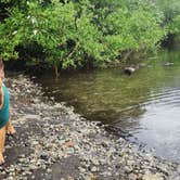
Fishing draws most visitors here. Trout are the main target, and the reservoir is a short walk or drive from the campsites. Water levels can rise quickly and without warning due to dam operations, so campers should stay cautious near the shoreline, especially at night. Mosquitoes are a consistent presence, so insect repellent is worth packing. The campground runs from June through November, with spring visits offering green grass and lower elevation access before higher Sierra routes open up.
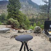
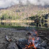
Sites include picnic tables and fire rings, and the campground has drinking water, toilets, and ADA accessibility. Firewood is available on site. Reservations are accepted, which matters during busier summer weekends when the campground can fill and leave latecomers scrambling for dispersed sites nearby. Early September tends to see lighter crowds, partly because the roads deter casual visitors. As Jaime G. noted, most people who make the drive are there "mostly all there to fishing for trout." Nearby alternatives include Sawmill Flat Campground to the north and Hermit's Hole to the south, and those planning a longer stay in the region can browse campgrounds near Sierra National Forest for additional options. This campground suits anglers and self-sufficient campers who are comfortable with remote road conditions and fluctuating water levels.
Description
Nestled under Cedar and Pine trees, the campground is located near Black Rock Reservoir. Some sites offer canyon views. Each site has a table, grill and fire ring. Road not recommended for large RV's; winding one lane road (road 11S12).
RV Road Trip Guides

Map & DirectionsBlack Rock Campground is located in California near Hume
 Public Campground
Directions
Take highway 168 to Shaver Lake. Go east on Dinkey Creek Road 12.5 miles, turn right on McKinley Grove Road (road 11S40), travel approximately 12.5 miles to road 11S12, turn right, travel 12 miles, make left at intersection (road 11S50) from Black Rock Station travel 1.5 miles to campground. General Notes: No services available. Nearest services are in the town of Shaver Lake, approximately 1 hour 45 minutes away. No garbage service - Please pack out what you pack in. This is bear country and there are raccoon problems in campground. Please store food properly and do not feed the animals. Bring mosquito repellant.
Coordinates
36.92100058 N
119.02600067 W
Connectivity
 T-MobileNo Coverage
- VerizonNo Coverage
- AT&TNo Coverage
Connectivity
- T-MobileNo Coverage
- VerizonNo Coverage
- AT&TNo Coverage
Access
- Drive-InPark next to your site
Site Types
- Tent Sites
- RV Sites
- Standard (Tent/RV)
- Group
Features
For Campers
- ADA Access
- Picnic Table
- Firewood Available
- Reservable
- Drinking Water
- Toilets
- Pets
For Vehicles
- Pull-Through Sites
Drive Time
- 2 hrs 36 min from Fresno, CA
- 2 hrs 52 min from Visalia, CA
- 2 hrs 58 min from Hanford, CA
- 3 hrs 22 min from Merced, CA