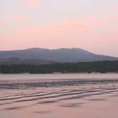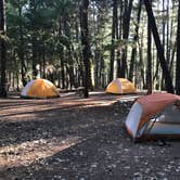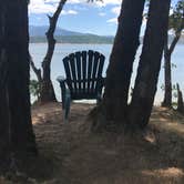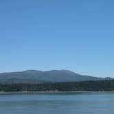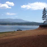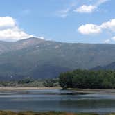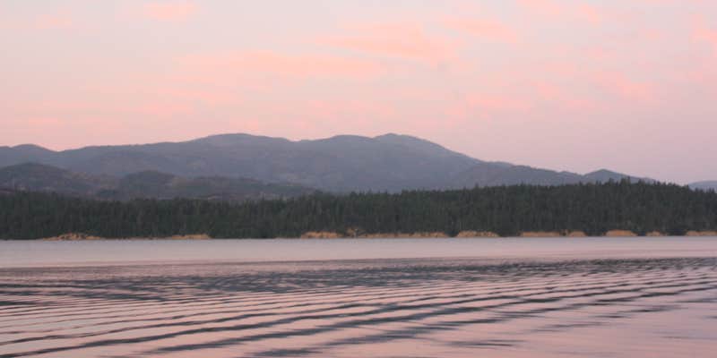

Swimming, fishing, and lake access draw campers to Fuller Grove Group Campground on the shores of Lake Pillsbury in Mendocino National Forest. The campground runs as a small loop, with sites spaced well apart from one another, and the spots closest to the water feature multiple tent pads and tables. No reservations are taken here. First-come, first-served.
Lake Pillsbury sits farther from major population centers than Lake Mendocino, which keeps overall traffic lower. Reviewers consistently note that crowds stay manageable except around holiday weekends, and that noise is rarely an issue even when the campground fills up. The crowd tends to run toward families and experienced campers rather than large party groups. Sites along the water give direct lake access for swimming and boating, and the campground has its own beach area. Fishing is listed as an activity, and the lake has drawn anglers for decades. Stargazing after dark is worth the effort given the low light pollution in the area.
Getting here requires driving a long dirt road in from Highway 101. Reviewers report that the road is manageable in a standard vehicle, including a low-clearance minivan, though it takes time to navigate. Vault toilets are on-site in decent condition, but campers should bring their own toilet paper and seat gaskets. Drinking water and trash service are available. No pets are allowed. The season runs April through September. Campers who want a different setup on the same lake can check out Pogie Point Campground about a half mile to the north, or browse campsites around Mendocino National Forest for a wider range of options.
Description
Campground next to Fuller Boat Ramp. Accessible facilities include tables, fire rings, a food storage locker and restrooms.
RV Road Trip Guides


Map & DirectionsFuller Grove Group Campground is located in California near Potter Valley
 Public Campground
Directions
6 miles north of Ukiah on US 101, 5 miles east on California Highway 20, 26 miles northwest on County Road 240 (Potter Valley-Lake Pillsbury Road). Also, accessible through Upper Lake traveling 31 miles north on County Road 301 (Forest Road M-1).Lat - 39 26' 22.502399\", Long - 122 58' 04.6452\"
Coordinates
39.436244 N
122.96975 W
Connectivity
 T-MobileNo Coverage
- VerizonNo Coverage
- AT&TNo Coverage
Connectivity
- T-MobileNo Coverage
- VerizonNo Coverage
- AT&TNo Coverage
Access
- Drive-InPark next to your site
- Walk-InPark in a lot, walk to your site.
Site Types
- Tent Sites
- RV Sites
- Group
- Tent Cabin
Features
For Campers
- Trash
- Drinking Water
- Toilets
- Alcohol
Drive Time
- 2 hrs 5 min from Santa Rosa, CA
- 2 hrs 37 min from Yuba City, CA
- 2 hrs 58 min from Redding, CA