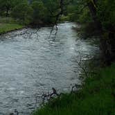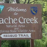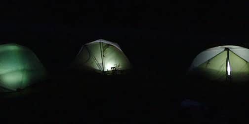
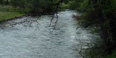
Mendocino National Forest's Snow Mountain Wilderness holds hike-in campsites along Cache Creek, with no vehicle access to the sites themselves. Campsites are delineated and many have rock fire rings. No services are available on-site, though creek water can be filtered for drinking. Eagles are regularly spotted in the canyon, and the area draws anglers. Spring visits bring wildflowers. Bring a water filter, and note that fording Cache Creek may be required to access the adjacent Cache Creek Wilderness, depending on flow conditions. Those planning a trip can compare camping near Mendocino National Forest before committing to this more remote option.
Description
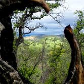
The Wilderness Act of 1984 established 23 new wilderness areas including the 60,000-acre Snow Mountain Wilderness in the Mendocino National Forest. The Snow Mountain Wilderness straddles the summit of the North Coast Range within Colusa, Glenn and Lake counties. The area is less than a four-hour drive from San Francisco, Santa Rosa, and Sacramento. The central feature of this wilderness is the large broad topped Snow Mountain, which drains water toward the Sacramento River on the east and the Eel River Basin on the west. The wilderness also has the largest known waterfall on the forest. Elevations range from 1,800 feet in the gorge of the Middle Fork of Stony Creek to 7,056 feet on the summit of East Snow Mountain Peak. The deep canyons skirting the Wilderness compress ecological life zones creating a unique biological sky-island. Forty miles of trail are located in the wilderness. This leaves a vast amount of acreage very remote and highly conducive to cross-country exploration. The moderate hike to the top of East Peak affords visitors a magnificent view of the Sacramento Valley and the Sierra Nevada Mountains to the east, Clear Lake to the southwest, the Coastal Mountains to the west, and the timbered mountains of the Mendocino National Forest to the North. Good drinking water is scarce in the Snow Mountain Wilderness during much of the summer. Plan ahead and refill canteens at every opportunity. Mountain streams may look inviting but they may not be safe for drinking. Treat all water for drinking and cooking by either processing through a portable water filter or by boiling over a portable cook stove.
RV Road Trip Guides

Map & DirectionsSnow Mountain Wilderness is located in California near Stonyford
 Public Campground
Coordinates
39.41570279 N
122.738228 W
Connectivity
 T-MobileNo Coverage
- VerizonNo Coverage
- AT&TNo Coverage
Connectivity
- T-MobileNo Coverage
- VerizonNo Coverage
- AT&TNo Coverage
Access
- Walk-InPark in a lot, walk to your site.
- Hike-InBackcountry sites.
Site Types
- Tent Sites
Features
For Campers
- Drinking Water
Drive Time
- 2 hrs 17 min from Yuba City, CA
- 3 hrs 3 min from Napa, CA
- 3 hrs 28 min from Santa Rosa, CA