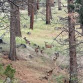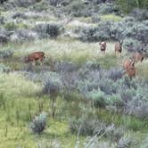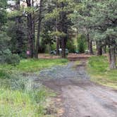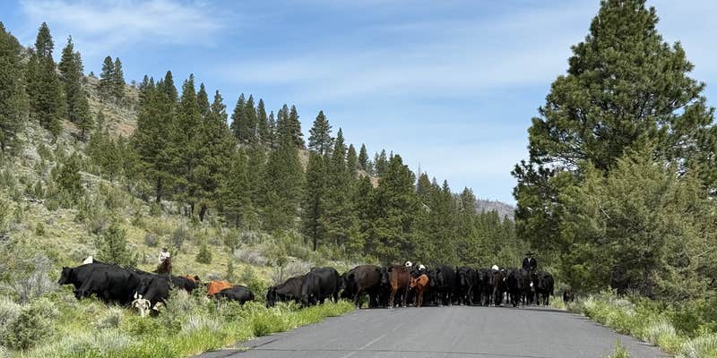
Fishing and creek-side access draw campers to this primitive site along the Chewaucan River corridor in Fremont National Forest, where the US Forest Service maintains a single fire ring and picnic table. No signage marks the entrance, and there is no pit toilet on site. The camp sits directly beside the road, though traffic is reported as minimal. Spring visits may coincide with cattle drives moving up into the high country, a notable seasonal reality. Bring all water treatment supplies, and plan for a self-sufficient stay with no facilities beyond the fire ring.
RV Road Trip Guides

Map & DirectionsFremont National Forest Upper Jones Forest Camp is located in Oregon near Paisley
 Public Campground
Directions
From the Paisley Ranger District Office, go 0.5 miles north on Hwy 31. Turn left on Mill Street. Mill Street becomes Forest Road 33 at the "Y" junction. Stay to the left and continue on Forest Road 33 for 9.5 miles. Unmarked campsites are in the trees off to the left along the river.
Coordinates
42.59835794 N
120.599266 W
Connectivity
 T-MobileNo Coverage
- VerizonNo Coverage
- AT&TNo Coverage
Connectivity
- T-MobileNo Coverage
- VerizonNo Coverage
- AT&TNo Coverage
Access
Features
Drive Time
- 2 hrs 19 min from Bend, OR
- 3 hrs 42 min from Eugene, OR
- 3 hrs 43 min from Medford, OR
- 4 hrs 3 min from Grants Pass, OR