Established Camping
Mckittrick Ridge Wilderness Campground — Guadalupe Mountains National Park
About
National Park Service
Guadalupe Mountains National Park
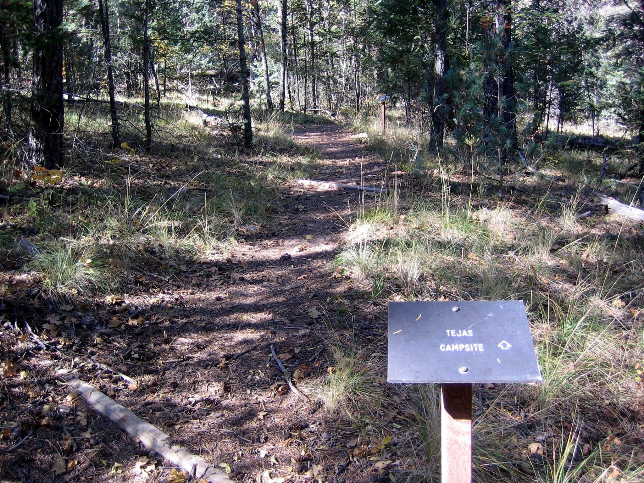
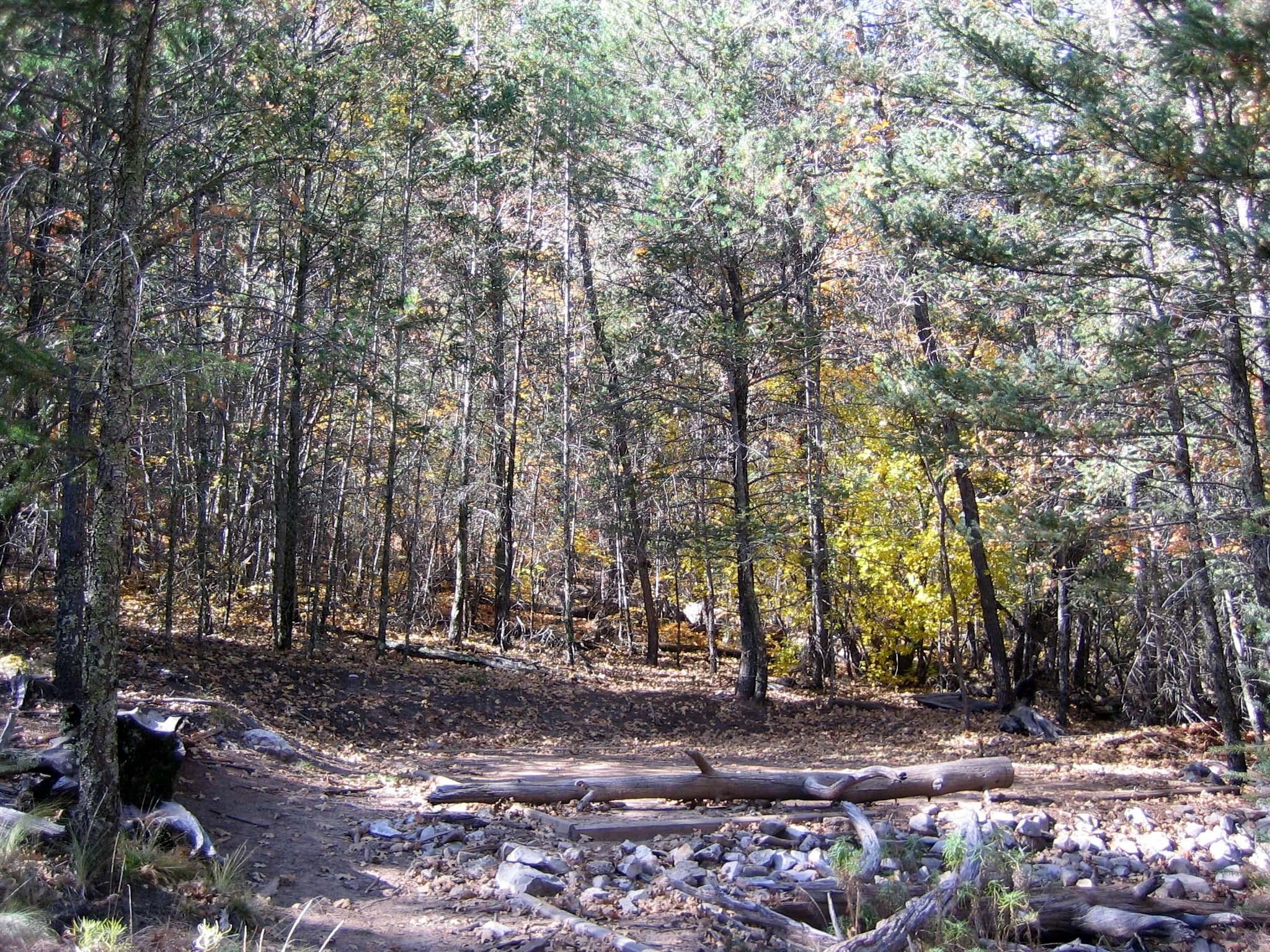
The extra distance to the Tejas Wilderness Campground is worth the time for those who wish to stay in a more densely forested surrounding. The tall trees provide deep shade in the morning and late afternoon and protection from high winds aloft. Centrally located, the Tejas campground is 5.5 miles from Pine Springs trailhead or 6.2 miles from Dog Canyon.
Access
Stay Connected
- WiFiUnknown
- VerizonUnknown
- AT&TUnknown
- T-MobileUnknown
Site Types
- Tent Sites
Features
beautiful
I love looking at the beautiful slopes of Mount McKittrick and playing house of hazards next to flowing, peaceful rivers.
Guadalupe backpacking
You need a permit to camp here. Two ways to approach with different difficulty levels, both 8 miles of backpacking and both are lovely. There’s a little cave along the trail! Easy to follow, stunning views from most of the hike and from the campsite. Call the rangers about water.
Location
Mckittrick Ridge Wilderness Campground — Guadalupe Mountains National Park is located in Texas
Directions
Tejas Wilderness Campground directions and information are available at https://www.nps.gov/gumo/planyourvisit/bccamp.htm.
Coordinates
31.9349484876904 N
104.848833267149 W


