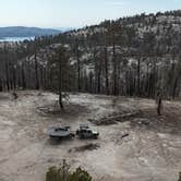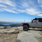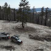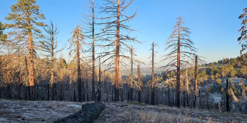
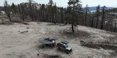
Reaching Bald Mountain Lookout depends heavily on which route you take. The Tamarack trailhead approach via Rock Creek Road is manageable, even for larger rigs, while the Dinkey Creek entrance involves a rougher OHV-rated section, rated around 6/10 on OnX, that challenged at least one driver hauling a 13-foot off-road camper. The site itself is dispersed, with multiple spots spread across the area and open sightlines toward Shaver Lake. Campers wanting developed facilities can look at Summit Campground about two miles south as a nearby alternative.
RV Road Trip Guides

Map & DirectionsBald Mountain Lookout is located in California near Shaver Lake
 Dispersed Camping
Coordinates
37.110350086117556 N
119.2032100069735 W
Connectivity
 T-Mobile5GExcellent Coverage
 VerizonLTESome Coverage
- AT&TLTESome Coverage
Connectivity
- T-Mobile5GExcellent Coverage
- VerizonLTESome Coverage
- AT&TLTESome Coverage
Access
Features
DISPERSED CAMPING
Enjoy dispersed camping on government land and leave no trace. Pack in and pack out. No (or limited) services at this camping area. Permit may be required.
Drive Time
- 2 hrs 11 min from Fresno, CA
- 2 hrs 43 min from Visalia, CA
- 2 hrs 46 min from Hanford, CA
- 2 hrs 47 min from Merced, CA