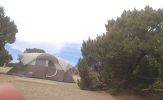
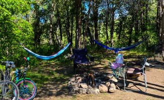
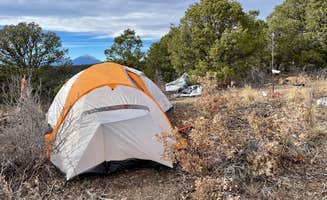
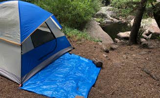
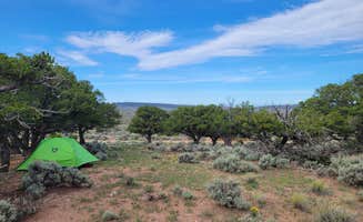
Backcountry dispersed camping in Great Sand Dunes National Park offers an unforgettable and truly unique wilderness experience. If you’re seeking solitude and raw, untamed landscapes, this is the perfect spot to pitch your tent. With no designated sites, you have the freedom to find your ideal spot beyond the busy dunes and under an expansive star-filled sky.
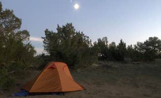
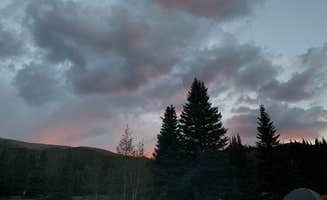
The journey begins with a hike deep into the park’s rugged terrain, where you’re surrounded by towering sand dunes, alpine forests, and sweeping views of the Sangre de Cristo Mountains. The lack of light pollution makes stargazing an absolute highlight—this is one of the best places to witness the Milky Way.
Keep in mind, this is true backcountry camping: no facilities, no water sources, and you must pack out all waste. Permits are required, so be sure to plan ahead. The environment can be challenging, with extreme temperature swings and strong winds that shift the sand beneath your feet. Good preparation and Leave No Trace practices are a must.
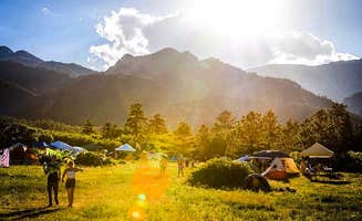
The rewards are well worth the effort. From sunrise hikes to the serene sound of nothing but wind across the dunes, this camping experience immerses you in nature’s raw beauty like few others can. It’s an adventure you’ll carry with you long after you’ve left the dunes behind.
Highly recommend skipping the tent and sleeping under the stars!