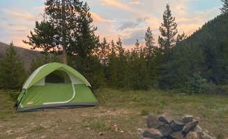
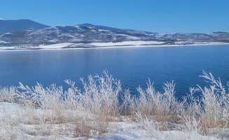
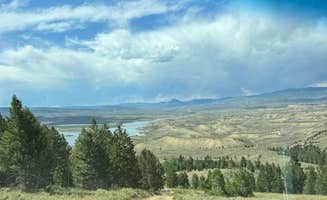
Primitive camping near Heeney, Colorado consists primarily of Forest Service managed sites with elevations between 7,500-9,200 feet. Temperature swings between day and night can exceed 30°F even in summer months, requiring adequate insulation for overnight stays. These dispersed sites typically open from late May through October, with seasonal closures depending on snowfall patterns.
What to do
Hiking at Rock Creek: Several designated dispersed sites at Rock Creek Designated Dispersed Camping provide direct access to mountain trails. "Trailhead is easy to find at the end of the road and leads to a couple of sweet spots. We stopped by Boulder Lake and it was about 6.5 miles total of a hike," notes Jane W., highlighting accessible day hikes.
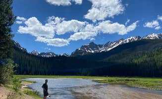
Fishing opportunities: Many sites offer creek or river access for fishing enthusiasts. At Spring Creek Colorado Dispersed Camping, campers can find "the perfect spot about 4-5 miles away from the turn off of hwy 40" with approximately 20 sites along the road according to Molly M., who found "one of few with a good amount of shade."
Stargazing: The minimal light pollution creates excellent night sky viewing conditions. "Basically no light pollution. Beautiful scenery, beautiful night sky views. So many types of birds—great spot for birdwatchers!!!" reports Raven S. about Rock Creek. The area's elevation enhances visibility for astronomical observation, with clearest skies typically occurring during new moon phases.
What campers like
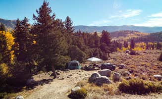
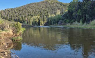
Secluded camping spots: The distance between sites at Ute Pass Dispersed Camping creates privacy. "We went to the second to last spot on the campgrounds to the left of the private property... this spot we got was insanely huge you could fit a large group in here," writes Jenna G., noting the "lots of land and trees" at their riverside location.
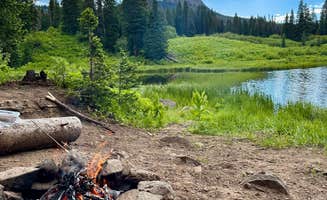
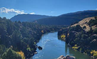
River access: Many campers appreciate the sound of flowing water. Katherine M. explains, "We found one of the last sites and it was lovely. Very little traffic- just a couple vans and ATVs." The natural white noise from streams helps mask other camping sounds and provides a cooling effect during warmer days.
Off-grid experience: The disconnection from technology appeals to many visitors. "No cell service, no light pollution, no one glued to a screen. Just wind, water, and the low rumble of late-night playlists echoing off the hillside," notes one camper at Rock Creek, highlighting the area's remote feel despite relative proximity to towns.
What you should know
Road conditions: Many access roads require appropriate vehicles. The route to Red Sandstone Primitive Dispersed camping presents challenges. "The road up has tons of ruts, some a hit deep so I would not come with any tow behind," warns Heather E. Similarly, Amber M. notes "The road was really bad. It was heavily eroded from water and had huge ruts from people driving through previous mud."
Weather variability: Mountain conditions change rapidly throughout the day. Katherine M. advises about Spring Creek: "The weather is incredibly unpredictable (pack a rain jacket) and with the joy of the stream comes the curse of 100000 flies. I wish I was exaggerating, but we were bombarded constantly whenever the sun was out."