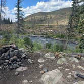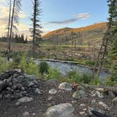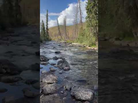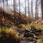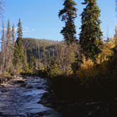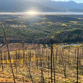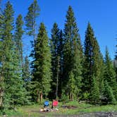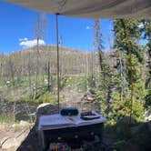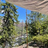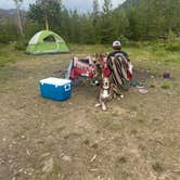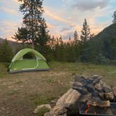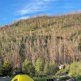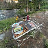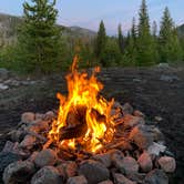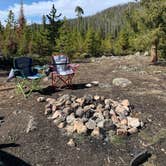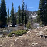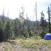
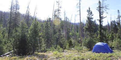
Arapaho National Forest's free dispersed camping along Ute Pass draws campers to the Williams Fork River corridor, where multiple pull-off sites branch off the main dirt road at intervals heading south toward private ranch land. Sites vary considerably in size. One reviewer found a spot large enough to fit a large group, with a wooden barrel for a table and a rock fire pit positioned right beside fast-moving water. The area around the river runs green, though the mountains visible from camp show evidence of past fire, with stripped slopes facing the sites.
Road conditions are the most consistent variable campers mention. Spring visits can mean mud puddles two to three feet deep, and at least one reviewer nearly got stuck without four-wheel drive. By late summer the road firms up considerably, though it remains rocky and rough throughout the season. Cell service is available at the sites, with T-Mobile users specifically reporting reliable coverage, which is worth noting for anyone counting on navigation or communication.
Crowd patterns here follow a predictable arc. Weekends fill fast, and at least one camper spent over 30 minutes driving rocky terrain before finding an open site. Midweek visits tell a different story: Andrew W. describes a Tuesday-Wednesday stay with "no disruptions at all," and another visitor on a late September weekday saw no other campers the entire trip. Arriving Thursday or Friday is the most commonly cited strategy for securing a river site on a weekend. Trash has been a recurring issue at some sites, though more recent visits suggest other campers have been actively cleaning up.
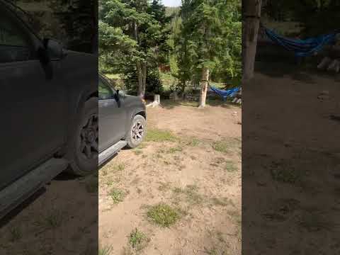
The Williams Fork River is the main draw. The sound of the water is audible from riverside sites, and reviewers mention hammocking along the bank. Molly J. calls it a "really pretty spot on the Williams Fork river," though she also notes trash at some sites. Campers should be aware of adjacent private property and ranch land, particularly toward the southern end of the road. Overhead air traffic runs roughly eight to ten planes per day, and some road noise is audible from the sites.
Campers who find Ute Pass full or want a different setup can consider Williams Fork to the south or Kinney Creek to the southeast, both within a few miles and part of the broader camping near Arapaho National Forest.
RV Road Trip Guides


Map & DirectionsUte Pass Dispersed Camping is located in Colorado near Heeney
 Dispersed Camping
Coordinates
39.85775278 N
106.0731944 W
Connectivity
 T-MobilePossible CoverageVerified by 13 usersLast on 8/28/26
 VerizonNo CoverageVerified by 2 usersLast on 8/22/26
- AT&TNo CoverageVerified by 5 usersLast on 10/24/26
Connectivity
- T-MobilePossible CoverageVerified by 13 usersLast on 8/28/26
- VerizonNo CoverageVerified by 2 usersLast on 8/22/26
- AT&TNo CoverageVerified by 5 usersLast on 10/24/26
Access
- Drive-InPark next to your site
- Walk-InPark in a lot, walk to your site.
Site Types
- Tent Sites
- RV Sites
- Standard (Tent/RV)
- Dispersed
- Group
Features
For Campers
- Firewood Available
- Phone Service
- Alcohol
- Pets
- Fires
For Vehicles
- Big Rig Friendly
DISPERSED CAMPING
Enjoy dispersed camping on government land and leave no trace. Pack in and pack out. No (or limited) services at this camping area. Permit may be required.
PERMIT might be REQUIRED
We curate permit requirements across the US for our PRO members. Try PRO to see if Ute Pass Dispersed Camping needs a permit.
Drive Time
- 1 hr 45 min from Denver, CO
- 1 hr 54 min from Boulder, CO
- 2 hrs 26 min from Greeley, CO
- 2 hrs 30 min from Fort Collins, CO