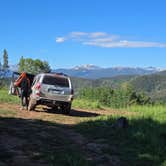
The road tells you what you're in for before you ever reach a campsite. Red Sandstone Road starts as a smooth dirt track heading north out of Vail, but after roughly 2.5 miles it turns rough, rutted, and eroded from water damage. Multiple reviewers in Subaru Foresters report scraping their undercarriage. High clearance helps considerably, and anything with a tow-behind is not recommended. Road access closes seasonally, with at least one visitor finding it gated through late June 2025.
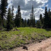
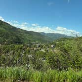
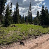
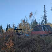
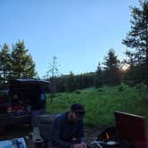
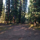
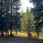
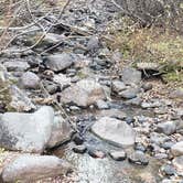
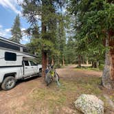
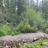
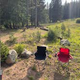
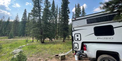
Once past the rough section, dispersed sites appear along Red Sandstone Creek, with the bulk of camping concentrated near the water. A few spots sit early on the road, but most campers end up clustered in a group of four to six sites near the creek. Taking a left up a side hill opens a more secluded option, though the track there is tight enough to rule out vans. The sites at the end of the road sit boxed in by trees, while some of the better overlooks toward the surrounding ridgelines appear on the drive up rather than at camp. "Camp is a 5, road is a 2," notes Joshua H., and that split captures the experience well.
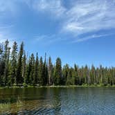
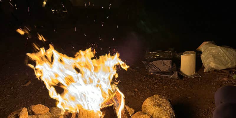
Nearby access to Lost Lake makes this corridor popular with hikers and swimmers. A trail to the lake leaves from the road, and a longer route toward a waterfall is also accessible, though the gate closes at 6 p.m. Piney River Ranch at Piney Lake sits further up the road and charges a fee for watercraft use on the lake. Campfires are permitted, and existing rock fire pits at several sites make building one straightforward. Pets are allowed throughout.
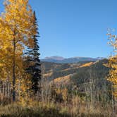
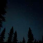
Crowds pick up sharply on summer weekends and around holidays. Arriving on a Friday evening without a spot already scouted is a gamble, as established sites fill early. Mosquitoes are a consistent complaint from June through midsummer, with multiple reviewers calling them heavy. September visits tend to catch the aspen color change and lighter use. As hercules N. put it after a late-season trip, "incredible views of the stars and absolutely gorgeous to see the Aspen leaves changing." Bear country protocols apply, and at least one camper reports significant wildlife activity in the area. Bring bug spray, bear storage, and a vehicle with genuine ground clearance.
Description
There are many dispersed camping opportunities on the forest ranging from backpacking to car-camping along designated Forest Roads. Visitors are encouraged to minimize resource impacts by utilizing established sites rather than creating new ones. Dispersed camping sites along Forest Roads are shown on Motor Vehicle Use Maps, which are available free of charge at ranger district offices. Visitors are permitted to drive vehicles up to 300 feet from designated routes for purposes of dispersed camping as long as no resource damage is incurred in the process. Dispersed camping within 100 feet of lakes, streams, and forest system trails is prohibited unless otherwise designated. Campers may stay for a maximum of 14 days. Some areas may have additional special restrictions. This dirt road begins at the paved Red Sandstone Road near Vail and ends at either Piney Lake or Hwy 131 north of Wolcott: This road gets heavy vehicle traffic and also a fair number of mountain bike riders, so please share the road. The climb is gradual and steady, and all but the very lowest of passenger cars can handle this relatively easy dirt road. The road winds its way up along Red Sandstone Creek and then Indian Creek with occasional views south over Vail Mountain, before reaching its high point near the trailhead for Lost Lake Trail. Here you can choose to head west toward Muddy Pass and Hwy 131, or head toward Piney Lake as your destination. Enjoy the peace and beauty here or take a hike up the Upper Piney River Trail, but remember that the lake is surrounded by the Eagles Nest Wilderness and is closed to bikes.
RV Road Trip Guides


Map & DirectionsRed Sandstone is located in Colorado near Vail
 Dispersed Camping
Directions
Exit I-70 at Vail exit 176 and take the North Frontage Road west to Red Sandstone Road. Turn right and follow to a gate where the dirt road begins.
Coordinates
39.70155019 N
106.38233627 W
Connectivity
 T-MobileNo Coverage
- VerizonNo Coverage
- AT&TNo Coverage
Connectivity
- T-MobileNo Coverage
- VerizonNo Coverage
- AT&TNo Coverage
Access
- Drive-InPark next to your site
- Walk-InPark in a lot, walk to your site.
Site Types
- Tent Sites
- Standard (Tent/RV)
- Dispersed
- Group
Features
For Campers
- Alcohol
- Pets
- Fires
For Vehicles
- Sanitary Dump
- Pull-Through Sites
DISPERSED CAMPING
Enjoy dispersed camping on government land and leave no trace. Pack in and pack out. No (or limited) services at this camping area. Permit may be required.
PERMIT might be REQUIRED
We curate permit requirements across the US for our PRO members. Try PRO to see if Red Sandstone - Primitive Dispersed needs a permit.
Drive Time
- 2 hrs 12 min from Denver, CO
- 2 hrs 22 min from Boulder, CO
- 2 hrs 54 min from Greeley, CO
- 2 hrs 57 min from Fort Collins, CO