

Gore Creek Campground
Gore Creek - Rocky Mountain camping off Highway 70
We stayed at the Gore Creek Campground last summer 2017 on a drive from Southern California to Denver, CO. We took highway 15 through Nevada and Utah, and connected to Highway 70 in Utah to Colorado. To budget this trip, we tried to camp most of the way out and back to California - we saved our Airbnb rentals for Denver, where I️ was competing in Pole Theatre USA, an international pole dancing competition. We wanted to find a spot to camp for the night that was close to highway 70 and not toooooo far outside of Denver - Gore Creek Campground was the spot. It’s about 10-15 minutes outside of Vail, and about and hour and a half outside of Denver.
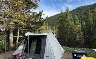
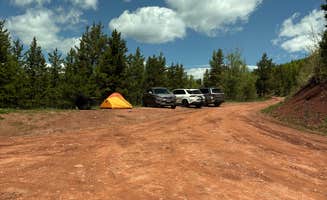
Campsites at Gore Creek are reservable ahead of time on recreation.org - we planned this trip about 6 months in advanced so had no problem reserving a site for one night on a weeknight. This campground is fairly small, however, with fewer than 30 sites, so I️ imagine it fills up quickly during the peak summer months. There are mostly drive-in sites in this campground, but there were some neat walk-in sites in a loop beyond the drive-in sites.
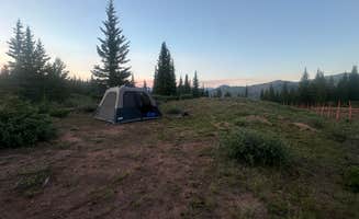
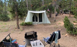
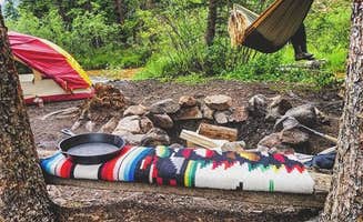
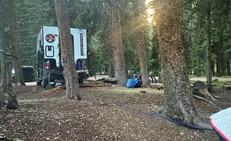
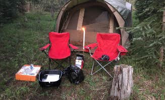
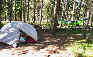
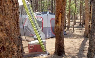
Gore Creek is a beautiful wooded campground that sits next to Gore Creek. There are a few ‘riverside sites’ in the campground, that were 60 yards or so from the creek. We had our pick of the sites that many months in advanced, so we chose site 9 as it appeared to be well secluded and close to the river - both were true! The area is densely wooded, so the sites have a lot of privacy, and the sound of the river is relaxing and peaceful at night, and drowned out most of the noise pollution from the nearby highway.
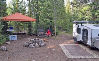
Each site has a fire ring and picnic table. The camp hosts were extremely kind and welcoming, and kept the grounds and the vault toilets very clean. There is NO WATER available at Gore Creek, so make sure to bring in plenty of water for cooking, washing, and drinking.
WARNING: You ARE in bear country - be bear smart and safe and use your bear box! We had our own bear box in our campsite - I believe each site has its own food locker. Try to lock all of your food and toiletries inside the food locker - they are large, and we have always been able to fit our big cooler into locker. If you do have to leave a cooler in the car, I was once told by a ranger in Yosemite NP that bears can recognize coolers when peering into car windows - he suggested putting put a towel and gear over your coolers when keeping them in the car overnight in bear territory.
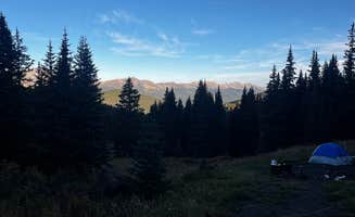
There is a lot of beautiful hiking trails in the Vail - Gore Creek area. We did not have much time to explore as I️ had an appointment in Denver in the afternoon, but the area is absolutely gorgeous.
CAMPSITE SPECS
Fees: $25/night
Plumbed Toilets: NO - vault
Water: NO
Showers: NO
Picnic Table: Yes
Firepit: Yes
Cooking Grate: Yes
Shade: Yes
Cell Service: Yes
Trash: Yes
Animal Bins/Food Lockers: YES