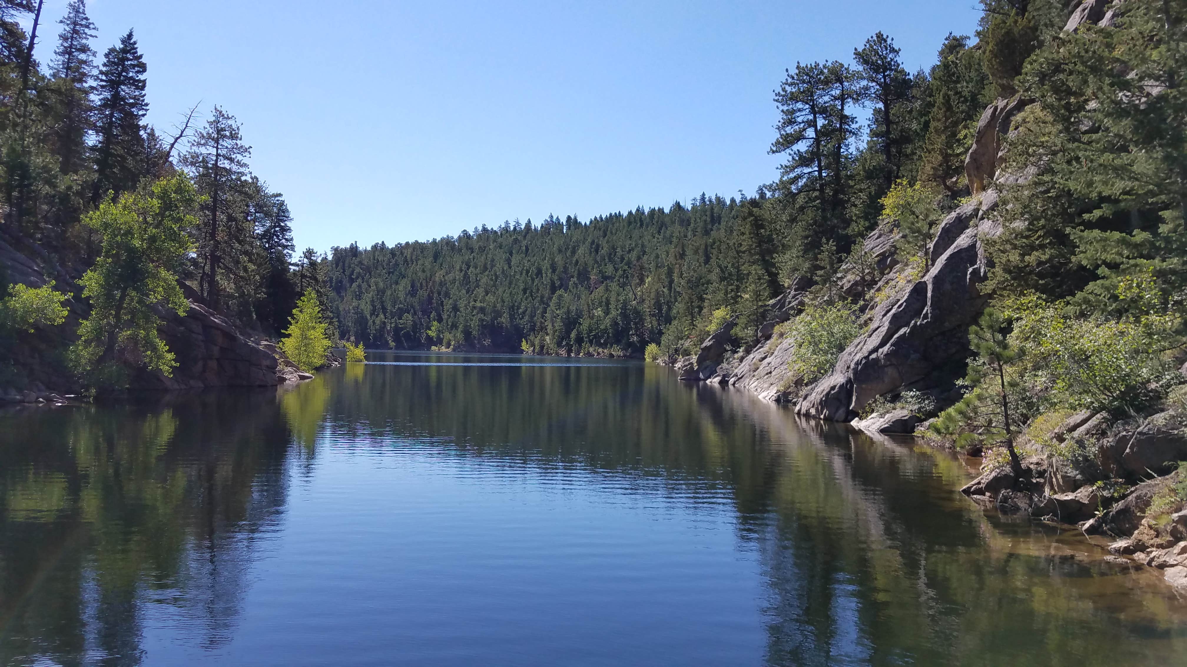
Public Campground
Winiger Ridge at Gross Reservoir
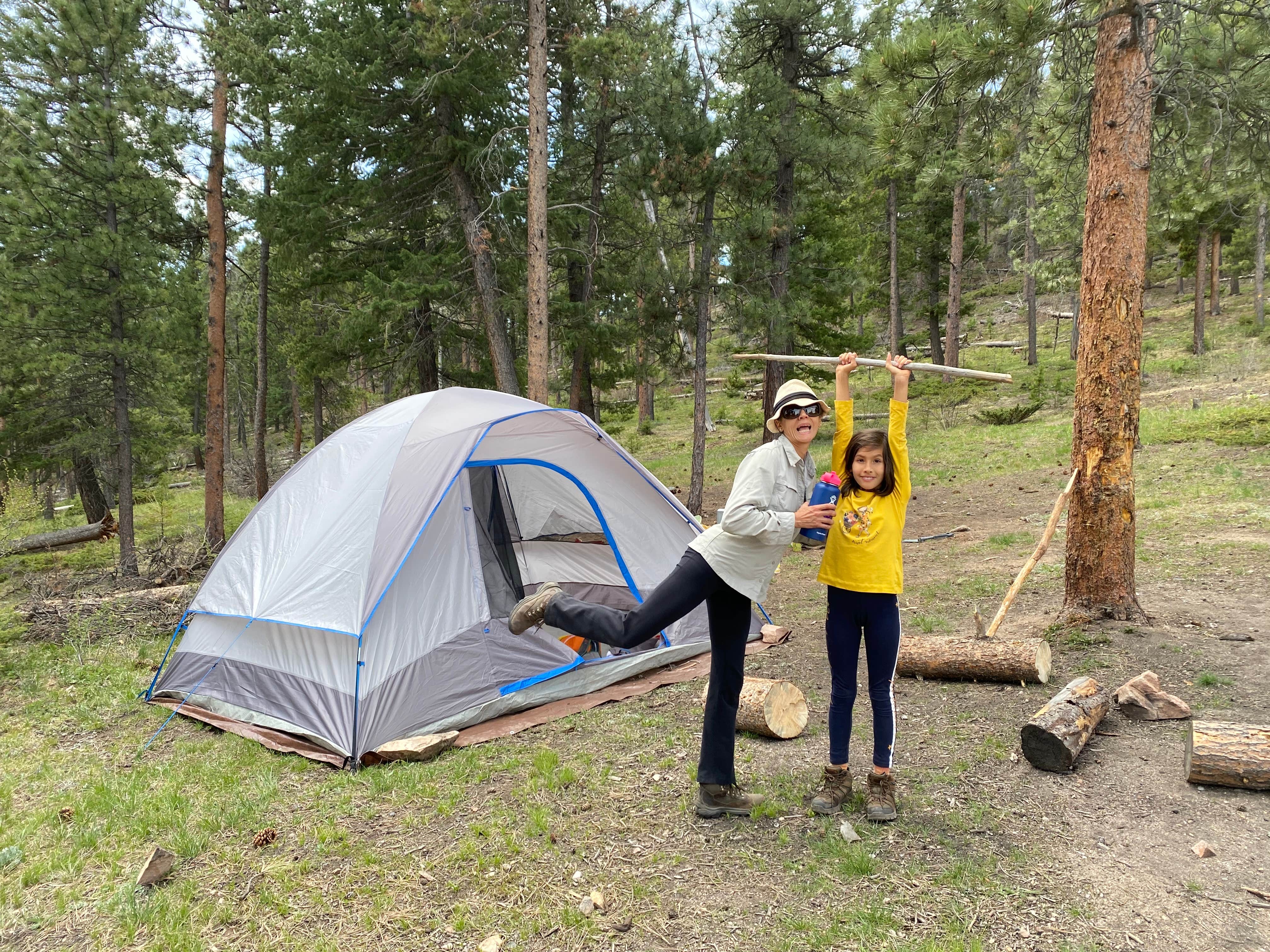
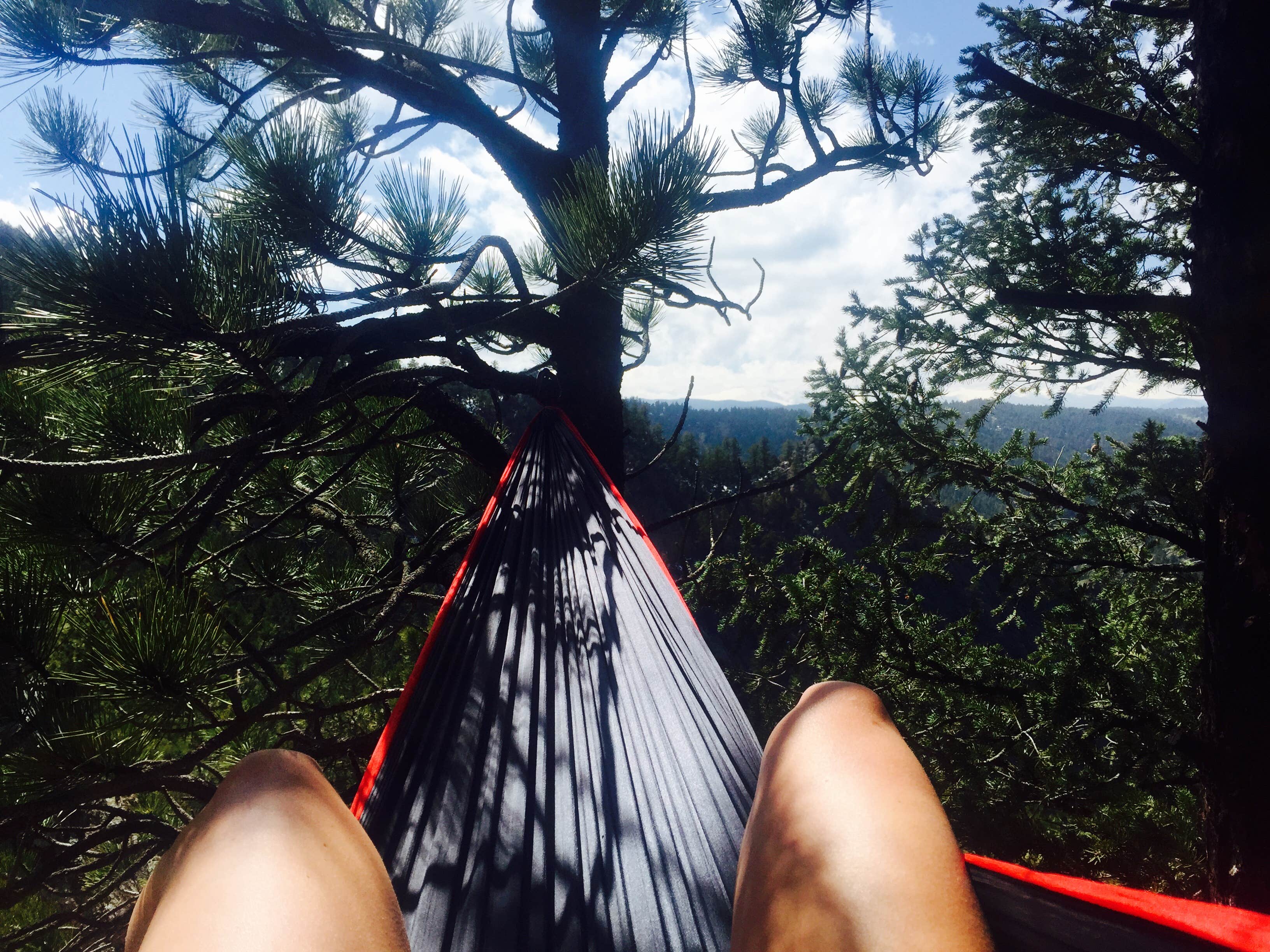
Winiger Ridge at Gross Reservoir, near Boulder, Colorado, is a rugged camping location that offers stunning views and a chance to connect with nature. With a mix of tent and RV sites, it’s a great place for those who appreciate a more primitive camping experience, complete with campfire spots to gather around after a day of adventure.
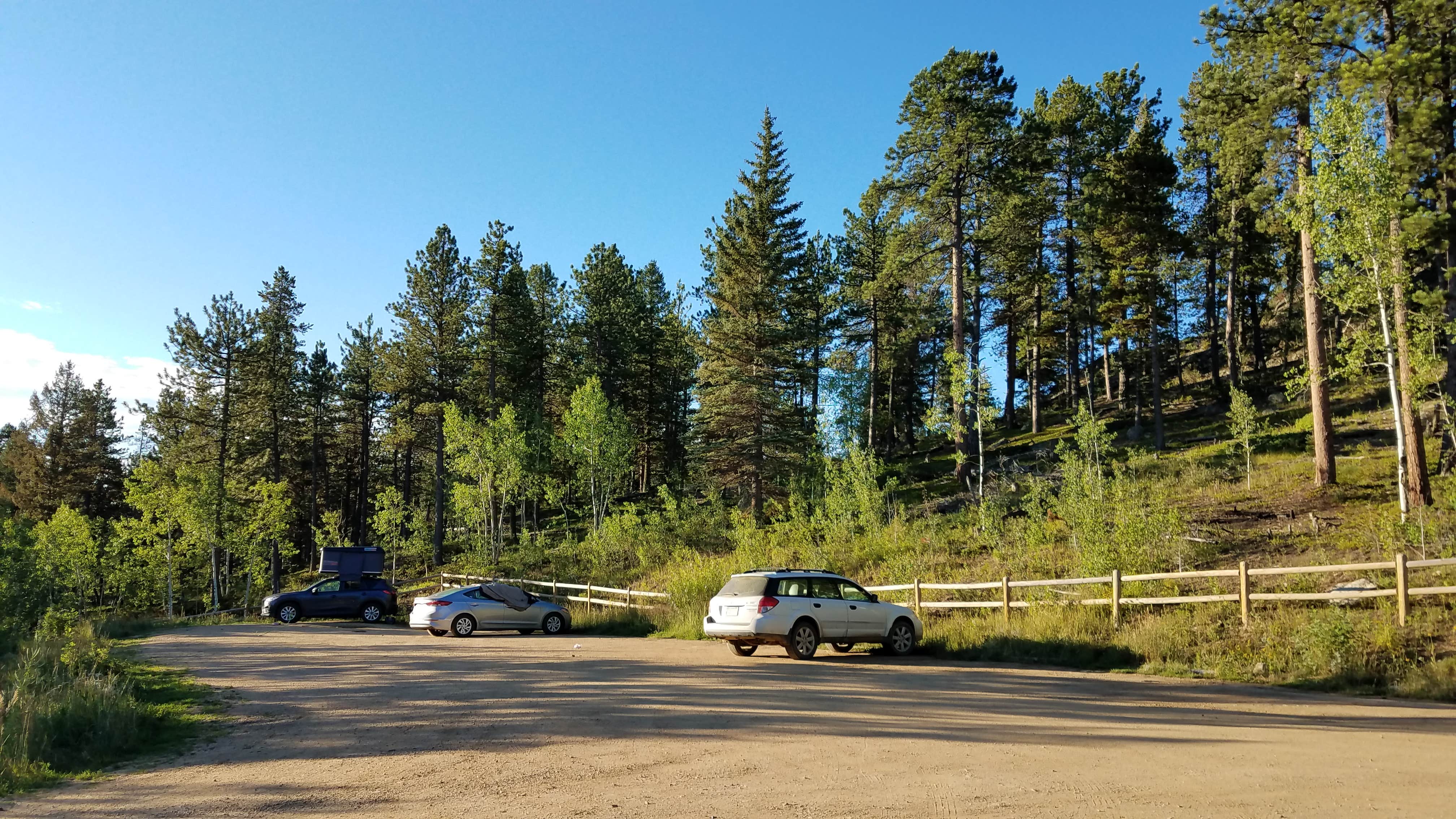
The access roads can be rough, so a high-clearance vehicle is a must. Visitors have noted the beautiful scenery, with one camper mentioning, “Beautiful views and campfire spots!” While there are no water hookups or restrooms, the nearby lake provides a refreshing option for water activities, though swimming isn’t allowed.
Hiking enthusiasts will find the Forsythe Canyon Trailhead easily accessible, making it a perfect launch point for exploring the area. Some campers recommend choosing your site wisely to avoid noise from nearby groups, but many have enjoyed the peaceful atmosphere, especially during quieter months. If you're looking for a place to unwind and soak in the natural beauty, Winiger Ridge is worth considering.
Description
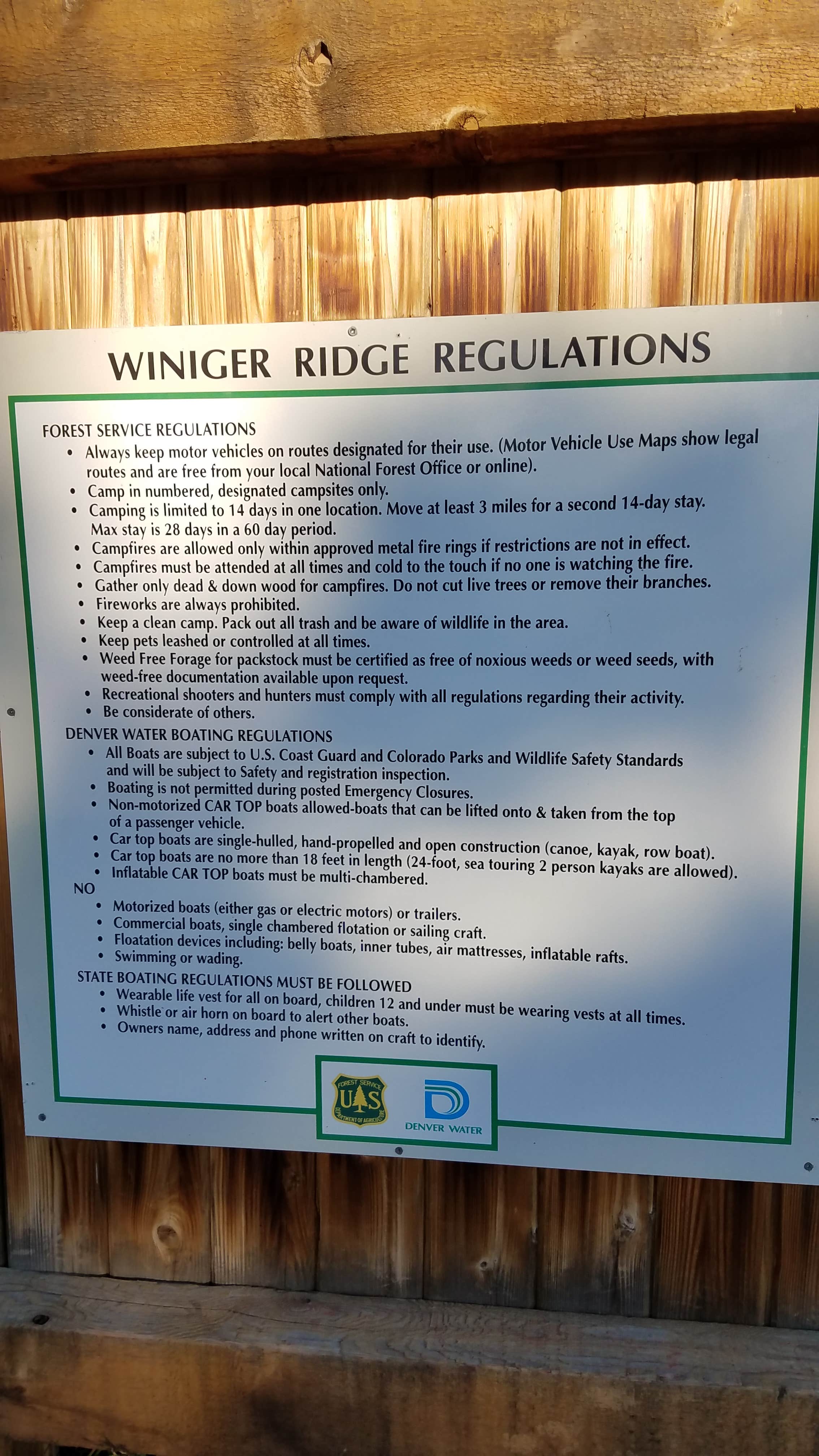
Camping is allowed at numbered designated campsites. No fee is charged. Practice Leave No Trace Principles.
Camping is limited to 14 days in one location. After 14 days, your camp must be moved at least three miles away.
Maximum stay is 28 days within a 60-day period. After 28 days, all property and people must leave the Roosevelt National Forest.
Location
Winiger Ridge at Gross Reservoir is located in Colorado
Directions
From Boulder, head west on Canyon Boulevard (Colorado Highway 119) to Magnolia Road (about 4.5 miles up from the mouth of the canyon). Turn south on Magnolia and follow it for 6.6 miles. Turn south on Boulder County Road 68 and follow it two miles to National Forest System Road (NFSR) 359. Turn south on NFSR 359 Accessibility: National Forest System Road 359 is open to motorized use from mid-May through mid-November during a typical year. Current status can be viewed on the Road Status Table.
Coordinates
39.94998546396218 N
105.37206608042612 W
Connectivity
- T-MobileNo CoverageVerified by 4 usersLast on 1/22/26
- VerizonNo CoverageVerified by 3 usersLast on 1/22/26
- AT&T5GExcellent Coverage
Connectivity
- T-MobileNo CoverageVerified by 4 usersLast on 1/22/26
- VerizonNo CoverageVerified by 3 usersLast on 1/22/26
- AT&T5GExcellent Coverage
Access
- Drive-InPark next to your site
- Walk-InPark in a lot, walk to your site.
- Hike-InBackcountry sites.
Site Types
- Tent Sites
- Standard (Tent/RV)
- Group
- Equestrian
Features
For Campers
- Picnic Table
- Phone Service
- Alcohol
- Pets
- Fires
For Vehicles
- Sanitary Dump
- Pull-Through Sites
Drive Time
- 53 min from Boulder, CO
- 1 hr 19 min from Denver, CO
- 1 hr 42 min from Greeley, CO
- 1 hr 43 min from Fort Collins, CO

