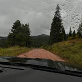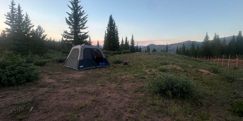
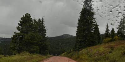
Bumpy road access and zero fees define the experience at Shrine Pass Road Dispersed Camping, a free National Forest area off I-70 near Vail Pass in Colorado. The road itself is rough enough that campers notice it, but the payoff is a quiet overnight stop away from highway noise. A few pull-outs line the road, with the first one accessible without driving far in.
Seasonal access is a real planning factor here. The road closes in winter, making car camping impossible until it reopens in spring. As recently as June 1, 2026, at least one visitor found the road still gated. Daytime traffic picks up along the road, but nights tend to run quiet. Campers heading out on hut trips in winter can use designated overnight vehicle parking at the adjacent Vail Pass Rest Area, which stays open year-round.
That rest area also provides a practical resource worth noting. Rachael S. points out "heated restrooms and water fill in the new rest area building," which means campers at the dispersed sites nearby have access to facilities just steps away. No reservations, no fees, and a short drive from the interstate make this a workable overnight option for those passing through or staging a mountain trip. Campers exploring the broader Summit County corridor can browse campgrounds near Copper Mountain for additional options in the area.
Description
Road Closed until May 10th
This dirt road starts at Vail Pass and ends at the town of Redcliff. It can be traveled in either direction, but for biking it is much easier starting at Vail Pass. This dirt road is passable by all but the lowest passenger cars and is relatively easy for mountain bikers. It offers views of Mount of the Holy Cross in the Sawatch Range, access to the Shrine Mountain Trail, and access to the short, accessible trail to "Julia's Deck."
RV Road Trip Guides


Map & DirectionsShrine Pass Road Dispersed Camping is located in Colorado near Frisco
 Dispersed Camping
Directions
Travel east from Vail on I-70 to Exit 190 for Vail Pass. Exit here and park at the rest area if unloading a bike. Otherwise turn right, heading west, onto the Shrine Pass dirt road (FSR 712).
Coordinates
39.529533 N
106.218095 W
Connectivity
 T-Mobile5GGood CoverageVerified by 7 usersLast on 9/16/26
 VerizonLTESome CoverageVerified by 10 usersLast on 9/16/26
- AT&T5GGood CoverageVerified by 2 usersLast on 9/16/26
Connectivity
- T-Mobile5GGood CoverageVerified by 7 usersLast on 9/16/26
- VerizonLTESome CoverageVerified by 10 usersLast on 9/16/26
- AT&T5GGood CoverageVerified by 2 usersLast on 9/16/26
Access
Site Types
- Tent Sites
Features
DISPERSED CAMPING
Enjoy dispersed camping on government land and leave no trace. Pack in and pack out. No (or limited) services at this camping area. Permit may be required.
Drive Time
- 1 hr 25 min from Denver, CO
- 1 hr 35 min from Boulder, CO
- 2 hrs 10 min from Fort Collins, CO
- 2 hrs 13 min from Colorado Springs, CO