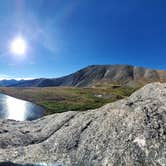
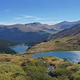
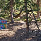
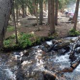
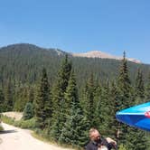
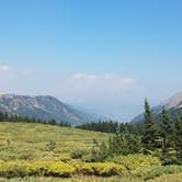
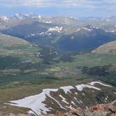
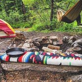
Pike National Forest's Guanella Pass Scenic Byway once drew campers to dispersed pullouts scattered along the road between Georgetown and the high alpine terrain above. This area is now permanently closed to dispersed camping. Signage prohibiting roadside camping went up as early as 2018, and subsequent reviews confirm the ban has held, so campers arriving with plans to pull off the road and set up will find the options gone.
The corridor itself runs through forested terrain with a creek accessible from some former sites, and the byway provides straightforward drive-in access. Afternoon thunderstorms are common here, and wind picks up through the pass, so weather preparedness matters regardless of where you end up camping in the area. Cell service becomes unreliable roughly a quarter mile north of the Silver Dollar Lake and Murray Lake trailhead.
Two established campgrounds remain in the area. Guanella Pass Campground, about 1.2 miles north, has first-come, first-served sites at around $15 per night with a manual water pump on site. Clear Lake is another option farther up the road. Both fill quickly on summer weekends, particularly when Mt. Bierstadt hikers are staging overnight stays before an early start. Georgetown, a short drive down the pass, provides resupply access and food. Campers planning a trip to this corridor should check current fire restrictions before heading out, as statewide bans have affected the area in past seasons.
Description
THIS STRETCH OF AREA IS NO LONGER A DISPERSED CAMPING AREA - SIGNS ARE POSTED.
The Guanella Pass Scenic Byway, can be accessed from either Grant or Georgetown. The south side of the Byway is located on the Pike National Forest/South Platte Ranger District and provides access to several hiking trails: Geneva Creek Trail (#697), Whiteside Trail (#697.A), Threemile Trail (#635), Burning Bear Trail (#601), Abyss Lake Trail (#602) South Park Trail (#600), Rosalie Trail (#603) and Bierstadt Trail (#711). There is also a short interpretive trail with a good viewpoint at the Guanella Pass summit. This is accessed from the west end of the upper/west parking area. Developed campgrounds include Burning Bear and Geneva Park. The north side of the byway is located on the Arapaho National Forest/Clear Creek Ranger District and provides access to hiking trails including Silver Dale Townsite Historic District, and Silver Dollar Lake Trail (#79). Developed campgrounds include Clear Lake and Guanella Pass.
Map & DirectionsGuanella Pass Scenic Byway Dispersed Camping is located in Colorado near Silver Plume
 Public Campground
Directions
1) Drive west from Denver on US Hwy 285 for approximately 40 miles to Grant. Turn right on to Park County Route 62. Drive north 13.5 miles to Guanella Pass. 2) Drive west from Denver on Interstate 70. Exit at Georgetown. Follow Clear Creek County Route 381 south 11 miles to Guanella Pass.
Coordinates
39.59495538 N
105.71098075 W
Connectivity
 T-MobileNo Coverage
- VerizonNo CoverageVerified by 5 usersLast on 9/19/26
- AT&TNo Coverage
Connectivity
- T-MobileNo Coverage
- VerizonNo CoverageVerified by 5 usersLast on 9/19/26
- AT&TNo Coverage
Access
- Drive-InPark next to your site
Site Types
- Tent Sites
Features
For Campers
- Trash
- Picnic Table
- Firewood Available
- Phone Service
- Reservable
- Drinking Water
- Toilets
- Alcohol
- Pets
- Fires
Drive Time
- 1 hr 51 min from Denver, CO
- 2 hrs 1 min from Boulder, CO
- 2 hrs 37 min from Fort Collins, CO
- 2 hrs 39 min from Colorado Springs, CO