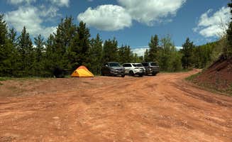
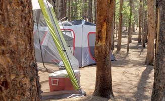
Dispersed camping near Vail, Colorado typically requires high-clearance vehicles to access the more remote sites. The White River National Forest surrounds Vail with camping options at elevations between 8,000-10,600 feet, creating cold overnight conditions even during summer months. Road access to many sites opens late May through early October, with seasonal closures common due to snowpack.
What to do
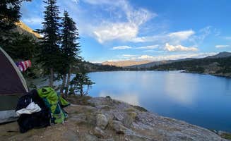
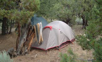
Hike to alpine lakes: From Halfmoon Campground, access trails to multiple mountain lakes within walking distance. "A short walk to lower cataract lake with a good loop. The next morning we hiked the upper loop with Eaglesmere lakes, Tipperary lake, and Surprise lake," notes Dylan J.
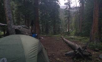
Scale mountain peaks: At East Cross Creek, campers use the sites as a basecamp for summit attempts. "10 campsites total and plenty of available when I arrived Saturday. Splits the grueling 5K ascent," reports Daniel B., who used the site to break up the climb to Mount Holy Cross.
Explore mining history: Drive the 11.2-mile Shrine Pass Road which connects I-70 to historic mining areas. "The road to get up was easy (we stayed in #9 - not sure about the ones farther up the road). I had to come in later as I had a work appointment, so I drove up in my Jetta to meet up with my husband," shares Stacy T. about Boreas Pass Road, showing that some sites are accessible with standard vehicles.
What campers like
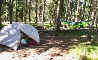
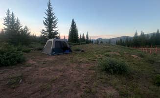
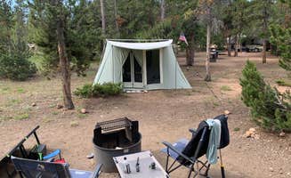
Solitude in prime spots: Campers appreciate finding quieter camping areas despite popularity. "We were lucky to find a fantastic, more spacious spot. It had plenty of room for our truck, a large tent, and a canopy—perfect for spreading out and relaxing," mentions Jenny B. about her Boreas Pass experience.
Wildlife viewing opportunities: The area hosts abundant wildlife visible from campsites. "There were clear signs of moose activity nearby, and fellow campers just up the road mentioned seeing a moose wander around their site," notes Jenny B., highlighting animal sightings that add to the camping experience.
Fall colors: Many campers time their visits for autumn foliage displays. "Timing wise, we were up Sept 21 & 22 (2024) and the fall colors were GORGEOUS," writes Stacy T. about her Boreas Pass trip, while another camper mentioned "I came in October when the aspens and birch still had some leaves. Beautiful colors on bareus pass."
What you should know
Road conditions vary significantly: Access roads range from sedan-friendly to requiring 4x4 vehicles. "The road was REALLY rough. One portion looked like someone had just run around digging random holes in the road," reports Rhonda C. about Red Sandstone. At Homestake Reservoir, Jeff H. notes: "Road out was a little bumpy but and a 2 wheel drive sedan could easily make the trip."
Mosquitoes can be intense: Bug protection is essential during summer months. "It was definitely buggy, got my fair share of mosquito bites, so I recommend bug spray," warns Ali S. about Red Sandstone. Another camper at Boreas Pass reported "SO MANY MOSQUITOS," while Elizabeth S. at Homestake Reservoir shares "Lots of mosquitoes but Murphy's incense kept them at bay."
Camping spots fill quickly: Early arrival is recommended, especially on weekends. "We arrived late afternoon on a Sunday in July. All 23 spots were taken," notes Rebecca B. about Boreas Pass Road. Another camper reports "Drove up Homestake Road on a Thursday afternoon, lots of spots taken already."
Tips for camping with families
Site selection matters: Choose sites with natural features kids will enjoy. "Little creek runs along Site 1 and it's very lovely," notes Juliette about Halfmoon Campground, providing natural entertainment for children.
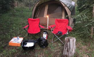
Pack for cold nights: Even summer camping requires warm clothing for children. "Being mid October the campground was very cold at night but it was empty and felt secluded even though only 35 minutes from Silverthorne," reports Dylan J., highlighting the temperature drops even at accessible locations.
Prepare for elevation effects: Higher altitude can impact children and adults. "Being at a higher elevation, one person in our group did experience some mild altitude discomfort, even though we're from the Denver area—something to keep in mind if you're sensitive to elevation changes," warns Jenny B.
Tips from RVers
Size restrictions apply: Larger RVs will struggle at most dispersed sites near Vail. "We're in a van, and while some spots would have been great, not all would work for our van," explains Rebecca B. about Boreas Pass sites. Similarly, Elizabeth S. notes about Homestake Reservoir: "we took our offroad capable teardrop to the loop at the reservoir but I don't recommend taking a non-offroad trailer past Gold Park."
Limited RV facilities: Most dispersed sites lack hookups and have tight parking. "Found a great spot on the creek. Level and had a turn around for a larger rig," shares Amy N. about Homestake Reservoir, showing that level sites with turnaround space are valuable for RV campers.
Town restrictions: Vail itself has limited RV accommodation. "There is no parking for RV around town in walking distance (Long Walk included). All parking only for cars," warns a reviewer about the Vail area, suggesting campers shouldn't expect to park RVs in town while exploring.


 Ranger