Lake Dardanelle offers camping opportunities within the Arkansas River Valley region, where summer night temperatures typically remain above 65°F even during July and August. The surrounding terrain combines hardwood forests with rocky outcroppings, creating distinctive camping conditions around this man-made reservoir. Winter camping sees limited facilities with only certain campgrounds maintaining year-round water service at Lake Dardanelle.
What to do
Hiking at Mount Magazine State Park: The highest point in Arkansas at 2,753 feet offers several trail options for day excursions from Lake Dardanelle. "Mount Magazine is one of the few parks that offers climbers great opportunities to work their skills. The park essentially sits on top of a bluff that is nearly surrounded on all sides by straight rock face," notes reviewer Donny S. at Mount Magazine State Park Campground.
Wildlife viewing: Early mornings provide optimal conditions for spotting native wildlife around lakeside campgrounds. "We had hummingbirds at the site... Was quiet with plenty of shade available," writes Heather W. about her experience at Piney Bay.
Swimming at Long Pool: This recreation area features a natural swimming hole approximately 45 minutes from Lake Dardanelle. "The big draw is the charming swimming area with its imposing trio of rocks that swimmers love to jump off of," according to reviewer 2SHOE S. at Long Pool Recreation Area.
What campers like
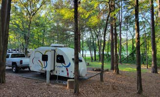
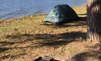
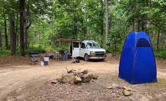
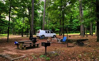
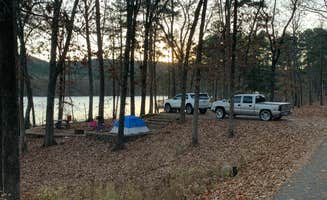
Private waterfront access: Many campers appreciate sites that offer direct lake views and water access. "A great little Corp park right off the Arkansas River. Sites are mostly level with water and electricity. Dump station in park," reports Don L. about Piney Bay.
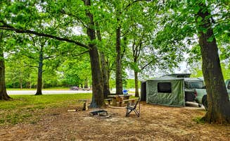
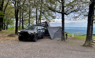
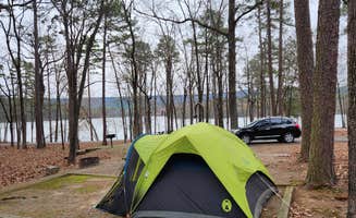
Shade coverage: The intense summer heat makes shaded sites highly valued. "Sites with no electric have the best views and trails directly to the river," notes Rachel P. about Long Pool Recreation Area, highlighting how tent campers often get premium locations.
Bathroom facilities: Russellville Campground receives particular praise for its modern shower facilities. "Not only was it clean but it had six doors. Behind each door was a shower room complete with a toilet and lavatory and guess what? It was air conditioned!!!" writes David B., explaining why many campers make this a preferred weekend base.
What you should know
Nuclear plant visibility: The Arkansas Nuclear One facility is visible from certain campsites and affects some visitors' experiences. "This campground would be five stars if there was not a nuclear power plant in view from my camp site," explains Matt S. about Lake Dardanelle State Park, though he notes "the park itself was amazing."
Limited cell coverage: Connectivity varies significantly between campgrounds even within short distances. "No cell service, but I enjoy that once in a while!" comments Jeremy C. about Long Pool Recreation Area.
Road conditions: Haw Creek Falls Camping offers waterfall access but requires attention to weather. "Beware of flooding during the rainy seasons. When it rains a lot, the creek floods and covers the road into the campground," cautions Lacee G.
Tips for camping with families
Playgrounds and swimming areas: Some campgrounds offer dedicated recreational facilities for children. At Cove Lake Complex, amenities include "Boating, fishing, swimming, cabins available, lots of trails to hike," according to James N., making it suitable for multi-day family stays.
Kid-friendly trails: Choose appropriate hiking routes when camping with children. "The hike up to the highest point in Arkansas is easy and family friendly for kids," explains Jeremy C. about Mount Magazine State Park, referencing a simple trail to the state's elevation highpoint.
Site spacing: Consider how close neighboring campers will be. "Sites are shady and well spaced. The kids had fun and everyone was friendly," notes Jeremy C. about Long Pool Recreation Area, highlighting the importance of adequate space for families.
Tips from RVers
Leveling challenges: Many sites require equipment for proper leveling. "Many sites are unlevel and require significant leveling chocks to get it truly level," warns Ryan S. about Petit Jean State Park, located about an hour from Lake Dardanelle.
Road access limitations: Mountain campgrounds often have restrictive access roads. At Mount Nebo State Park, signs warn "Crooked and Steep, no trailers over 24 ft," with reviewer Dave V. confirming that "these warnings are to be heeded. Grades are up to 18%."
Hookup configurations: Pay attention to utility placement when booking. "Some sites have water and the picnic table on the opposite sides of the camper. It's purely inconvenient and I'm not sure why this is this way," notes Ryan S., suggesting campers check campsite photos before reserving.


 Guide
Guide