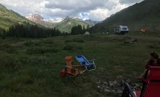
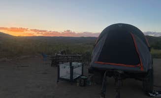
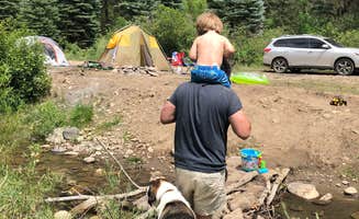
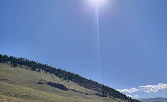
Dispersed camping near Curecanti National Recreation Area features a network of primitive sites on public lands north of Montrose and throughout Gunnison County. The area sits at elevations between 7,000-8,500 feet, creating large temperature swings between day and night even in summer months. Most dispersed sites require navigating unmaintained dirt roads that become increasingly challenging after rainfall, with many campers reporting deep ruts and steep access points.
What to do
Mountain biking access: Hartman Rocks Recreation Area offers extensive trail networks for biking enthusiasts. "This area is large and has tons of dispersed campsites, but they're connected by a network of bumpy and rocky roads," notes Dan E., highlighting the adventure potential beyond just camping.
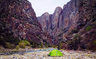
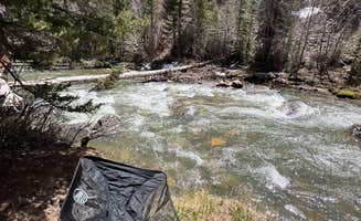
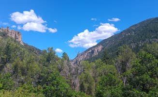
Wildlife viewing: The dispersed areas provide opportunities to observe native animals, though caution is advised. At Black Canyon dispersed camping, one camper reported, "We did find a few deer legs left behind, so keep an eye out for Mountain Lion," a reminder to secure food properly.
Rock climbing: Hartman's Rocks Dispersed Site features unique geological formations ideal for climbing. As Peaches E. observed, there are "plenty of camping even for my 20ft camper and lots of rock climbing!"
What campers like
Solitude: Black Canyon offers remarkable privacy on the north rim. According to Kevin S., "I stayed here 3 days and never saw or heard another person. It's only 5 miles from the North Rim of Black Canyon National Park."
Proximity to towns: Many dispersed sites provide good access to nearby communities. Kevin S. mentioned that "Crawford is about 8 miles away and has some restaurants with good home cooking," making supply runs convenient.
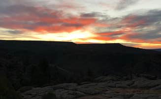
Stargazing opportunities: The area's limited light pollution creates ideal conditions for astronomy. Brooks G. noted at Black Canyon Dispersed Camping that "It's quite pretty and you can make out some of the milky way on clearer nights."
What you should know
Road conditions: Red Creek Rd Dispersed Camping requires navigation of variable terrain. One camper advises "The road is a good gravel but gets narrower as you go up," which affects site accessibility.
Vehicle requirements: Many sites demand appropriate vehicles. At Hartman Rocks, Austin H. warns, "You will not make it with 2 wheel drive," and Lauren M. confirms, "We were able to drive around some of the roads in our 2WD van looking for sites but honestly would not recommend for similar vehicles."
Seasonal availability: Some areas have restricted access during certain months. At Black Canyon, Jaz C. notes an important restriction: "Signs say no camping 12/1-7/15," which limits winter and early summer options.
Tips for camping with families
Site selection strategy: Look for established sites with natural barriers. At Hartman's Rocks, Lara S. recommends: "We found a nice large flat area all to ourselves. We were far away from the group sites which were loud."
Bring all supplies: No services are available at most dispersed sites. Greg L. from Soap Creek Camp observed only minimal amenities: "Vault toilets and I did see a water spigot. $16/$8 seniors," making it one of the few sites with any facilities.
Safety considerations: Prepare for changing weather and terrain hazards. At Hartman Rocks, johny R. advises: "Study Google maps sat images, stay to the main road and NEVER rush in at dusk, you will be sorry."
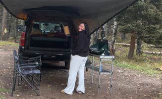
Tips from RVers
High-clearance vehicles required: Most dispersed sites demand appropriate rigs. The Wandering Shores notes at Soap Creek Road: "Any of the spots in this area are difficult to get into unless you have a high clearance vehicle and rig. I would suggest that no Class C or A try to camp in this area."
Scout before committing: Many campers recommend exploring on foot before bringing in larger vehicles. At Hartman Rocks Recreation Area, Ciara W. shares: "The uphill to get to the camping in a 2WD van was not easy. It's very steep and with the sun setting we couldn't see the road and just floored it hoping we'd make it."
Advance planning required: Free camping near Curecanti National Recreation Area demands preparation. At Hartman's Rocks, Leonard S. warns: "It took a lot of driving to find a campsite open. Midweek on September 20. Not that there aren't a lot of sites, you just have to do a lot of driving."


 Legend