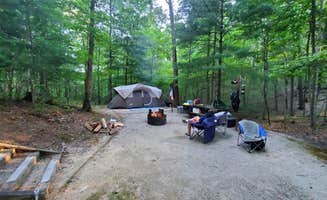
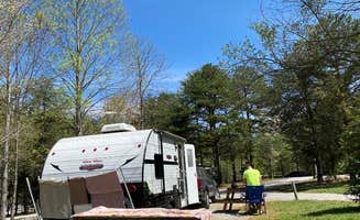
General: A mix of electric sites, tent sites, and cottages spread out along Route 11.
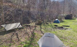
Site Quality: All sites were level; some were paved, and some were gravel (riverfront sites tended to be gravel). Most are back-in, but the middle row has pull-thru sites, however, if you had a large RV with a toad, you would likely not have room for both in your site.
Bath/Shower house: More than adequate toilet stalls, two sinks, and two showers. Only one sink had hot water. The shower was wimpy at best. Took a long time to coax hot water, and then the flow was very weak.
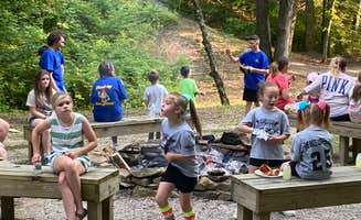
Activities/Amenities: Upon check-in, we were given a pamphlet of the many area hikes. There is a sky lift (chair lift) that takes you to Natural Bridge (or you can hike to it). In season, there is a small mini-golf course. Trout fishing is permitted. Closer to the cottages is a lodge, playground, and pool. Ice and firewood are available.
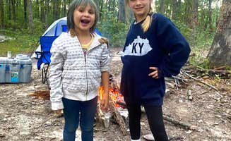
Because of its proximity to Route 11, you will hear road noise at many of the sites, including the tent sites. The cabins are situated further back in the woods, so you won't hear the road noise there. This campground suited our needs for area fun for four days.