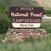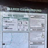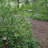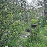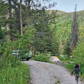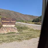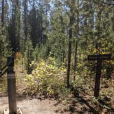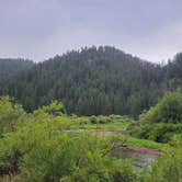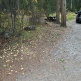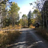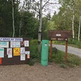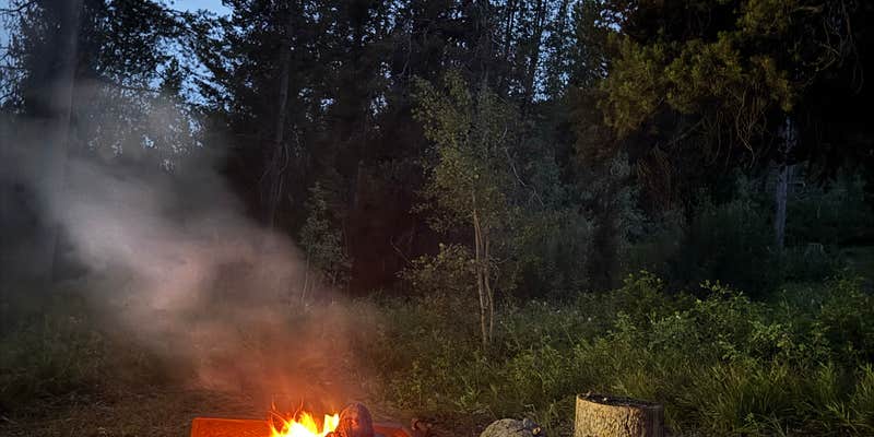
Bridger National Forest holds Allred Flat in a narrow forested draw outside Afton, Wyoming, where 32 shaded sites spread along a loop road beside a small creek. The US Forest Service manages the campground, which runs from late May through mid-September at $5 to $10 per night. Those exploring campgrounds near Bridger National Forest will find this one among the more established options in the corridor.
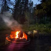
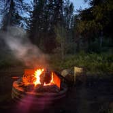
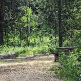
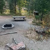
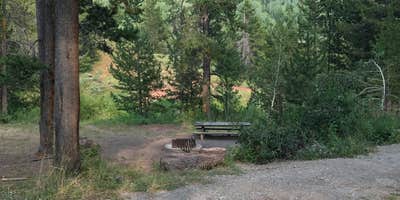
Road noise from the nearby highway is audible at some sites, but reviewers consistently note it fades considerably toward the far end of the loop. Site 18, at the furthest point of the loop, draws specific praise for how little traffic noise carries there. Site 11 sits directly beside the creek, and multiple campers mention falling asleep to the sound of moving water. The sites are reasonably well-separated given the layout, each with a picnic table and fire ring, though leveling can be a challenge on some pads. Only a handful of sites include bear boxes.
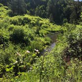
Beaver activity along the creek trail gives the area a distinct character. Dams are extensive and visible from the walking paths, and wildlife sightings come up repeatedly in reviews. "A narrow forested draw," as Greg L. describes it, the campground sits tucked into the trees with enough canopy to keep sites shaded through much of the day. Nearby, Salt River Pass and Bridger NF Dispersed near Salt River Pass (FR 072A) provide additional options for those wanting more dispersed conditions.
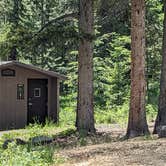
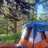
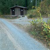
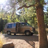
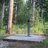
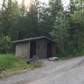
A few practical notes for trip planning: cell service is nonexistent for major carriers, though one reviewer confirmed Starlink works from site 16. The hand-pump water supply has been unreliable across multiple seasons, with at least two reviewers reporting pumps that produced no water, so arriving with a full supply is wise. Vault toilets are distributed throughout the loop and reviewers consistently describe them as clean. No dumpsters are on-site, so campers carry out their own trash. ATVs are not permitted within the campground, though a staging area sits just outside the entrance. RVs up to 45 feet can technically access the campground, but larger fifth wheels and Class A rigs may struggle to find a suitably level pull-through. The campground works well for tent campers, smaller trailers, and anyone passing through the Star Valley area who wants a low-cost overnight stop with creek access and tree cover.
Description
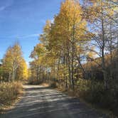
Allred Flats Group Picnic Site is located below Salt River Pass in the lush forests of western Wyoming. Visitors enjoy exploring local trails on foot, horseback or by off-road vehicle, where allowed. Natural Features: Little White Creek runs alongside the Allred Flats at an elevation of 6,500 feet, where pines and aspens offer partial shade. Summer wildflowers are abundant and fall colors are breathtaking in the area. The Bridger-Teton National Forest offers more than 3.4 million acres of public land for outdoor recreation. With its pristine watersheds, abundant wildlife and immense wildlands, the forest comprises a large part of the Greater Yellowstone Ecosystem, the largest intact ecosystem in the lower 48 United States. Recreation: Numerous hiking, mountain biking and horseback riding trails are in the area, ranging from easy 1/2-mile paths to challenging 14-mile trails in the backcountry. Free trail maps can be found at the District Office. Facilities: This group picnic site, located only 1/2-mile off the main highway, can accommodate up to 50 guests and 10 vehicles. Vault toilets and drinking water are provided. The site offers several large picnic tables, a fire ring with benches and a grill. Roads and parking spurs within the site are gravel. Nearby Attractions: Salt River Pass offers miles of scenic driving with access onto Smiths Fork Road (#10072), and expansive views of the Wyoming and Salt River Ranges. Fishing Salt Creek just across the highway is popular.
RV Road Trip Guides
Map & DirectionsAllred Flat is located in Wyoming near Smoot
 Public Campground
Directions
From Afton, WY, take US Rt. 89 south 19.3 miles to campground sign. Turn right at sign and go 0.3 miles to campground.
Coordinates
42.49000019 N
110.96000075 W
Connectivity
 T-MobileNo Coverage
- VerizonNo Coverage
 AT&TLTESome Coverage
Connectivity
- T-MobileNo Coverage
- VerizonNo Coverage
- AT&TLTESome Coverage
Access
- Drive-InPark next to your site
- Walk-InPark in a lot, walk to your site.
Site Types
- Tent Sites
- RV Sites
- Standard (Tent/RV)
- Group
Features
For Campers
- Trash
- Picnic Table
- Showers
- Drinking Water
- Toilets
- Alcohol
- Pets
- Fires
For Vehicles
- Pull-Through Sites
Drive Time
- 1 hr 47 min from Logan, UT
- 1 hr 52 min from Pocatello, ID
- 2 hrs 8 min from Idaho Falls, ID
- 2 hrs 30 min from Ogden, UT