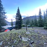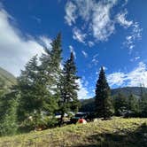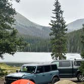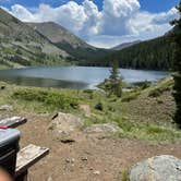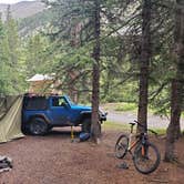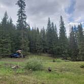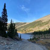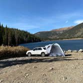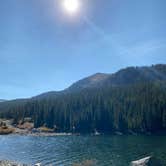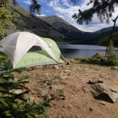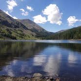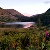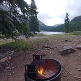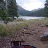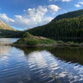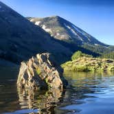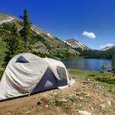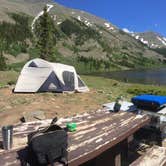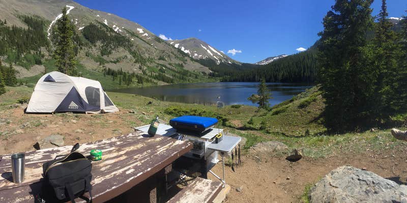

Kayaking, fishing, and paddleboarding draw campers to Mirror Lake Campground, a US Forest Service site in Gunnison National Forest that sits at the edge of its namesake lake. A handful of sites overlook the water directly, and those tend to fill early. The campground runs May through September, with June bringing cool temperatures and the possibility of freezing rain at elevation. Moose have been spotted swimming in the lake, and anglers report fish are present though not always easy to catch.
Getting here takes commitment. The forest road from Tincup covers roughly three miles of rocky terrain, with rocks running 12 to 16 inches, and high clearance with four-wheel drive is strongly recommended. RVs are limited to 16 feet. The ground at campsites runs hard, so heavy-duty stakes are worth bringing. Cell service is essentially absent, with campers noting roughly two hours without signal. Side-by-sides and ATVs are common in the surrounding area, though most reviews indicate they stay off the main campground loop.
Amenities are minimal but functional: vault toilets, picnic tables, fire rings, and drinking water. Cleanliness of the facilities has been inconsistent based on past visits, so expectations should be set accordingly. Brian C. describes it as a "simple campground...yet has a primitive feel," which captures the experience accurately. Dispersed sites along the forest road on either side of the campground give campers who want more solitude additional options. Iron City Campground sits about 5.8 miles southeast for those wanting a different setup.
Description
Opportunities for lake and stream fishing abound at Mirror Lake Campground. It is situated on the banks of Mirror Lake and East Willow Creek. The 13,000 foot peaks of the Sawatch Range provide a dramatic backdrop for this site. Mountain biking, four-wheel driving, hiking and horseback riding are only a few of the activities visitors can enjoy from this site. There are 10 campsites.
RV Road Trip Guides


Map & DirectionsMirror Lake is located in Colorado near Pitkin
 Public Campground
Directions
In Almont, CO, at intersection of State Rt. 135 and County Rt. 742, take Rt. 742 for 23.3 miles to intersection of Forest Rts. 742 and 765. Turn right at intersection onto Rt. 765 (dirt), toward Tincup, CO, and go 7.6 miles to stop sign in Tincup (Forest Rt. 267). Turn left at sign onto Rt. 267 and go 3.2 miles to campground sign. Turn right at sign into campground.
Coordinates
38.74700066 N
106.43200082 W
Connectivity
 T-MobileNo Coverage
- VerizonNo Coverage
- AT&TNo Coverage
Connectivity
- T-MobileNo Coverage
- VerizonNo Coverage
- AT&TNo Coverage
Access
- Drive-InPark next to your site
- Hike-InBackcountry sites.
Site Types
- Tent Sites
- RV Sites
- Standard (Tent/RV)
Features
For Campers
- Picnic Table
- Drinking Water
- Toilets
- Alcohol
- Pets
- Fires
For Vehicles
- Big Rig Friendly
Drive Time
- 3 hrs 48 min from Colorado Springs, CO
- 3 hrs 55 min from Pueblo, CO
- 4 hrs 11 min from Denver, CO
- 4 hrs 20 min from Boulder, CO