Public Campground
Palouse Falls State Park - DAY USE ONLY - NO CAMPING — Palouse Falls State Park
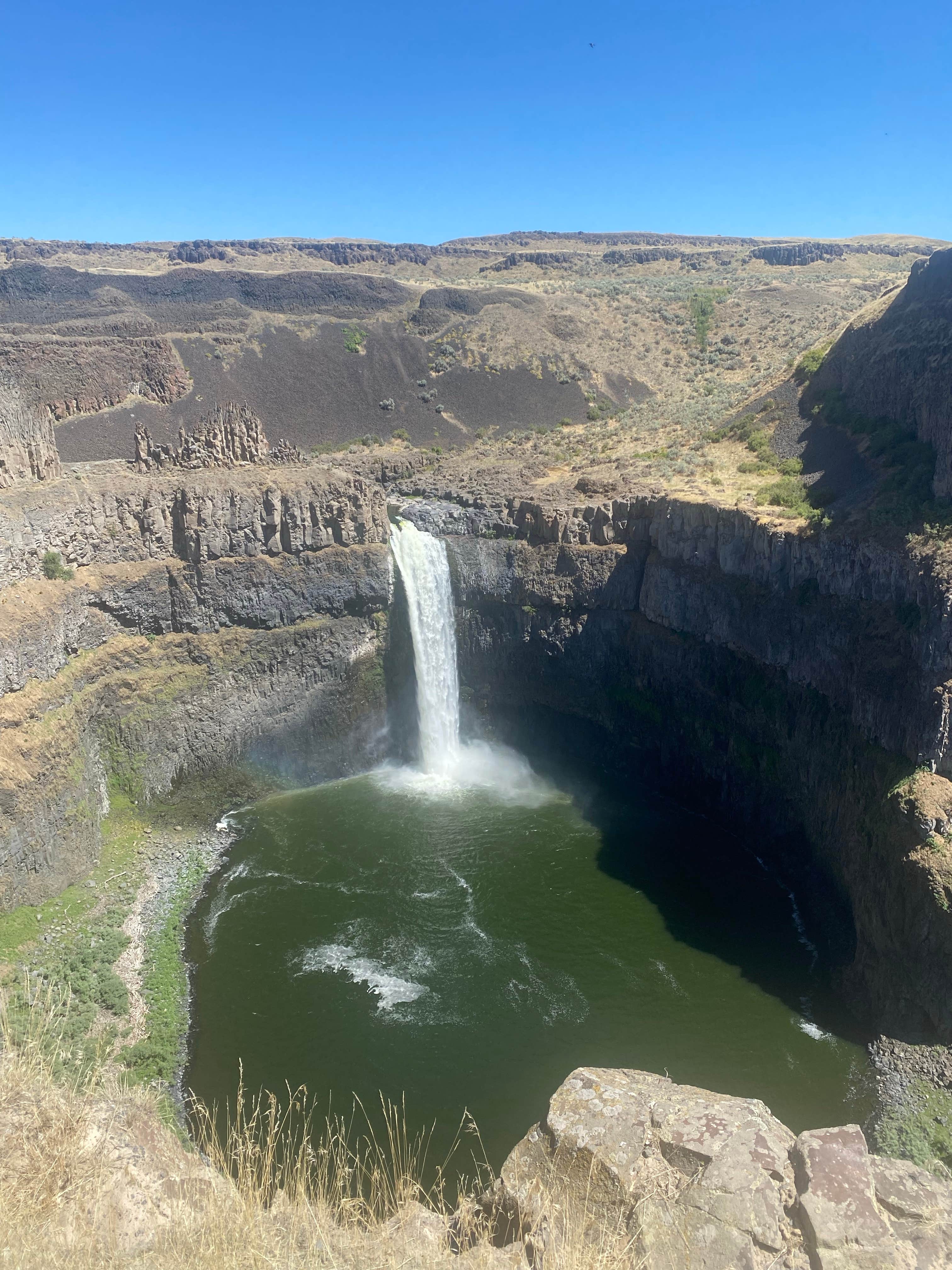
Palouse Falls State Park - DAY USE ONLY, near Starbuck, Washington, is a stunning location that draws visitors for its breathtaking waterfall and unique high desert landscape. While camping is not permitted here, the park offers day-use access to enjoy the spectacular views and outdoor activities.
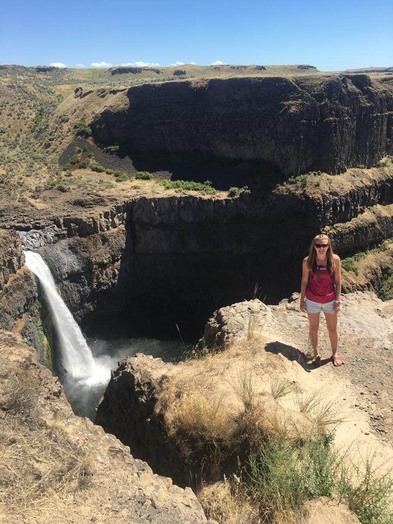
The main attraction is, of course, the impressive Palouse Falls, which plunges 200 feet into a dramatic canyon. Visitors rave about the adrenaline-pumping trails that lead to the base of the falls, where you can explore the rugged terrain and take in the beauty of the surrounding desert brush and wildlife. As one reviewer put it, “This roaring waterfall has captured the hearts and minds of many.”
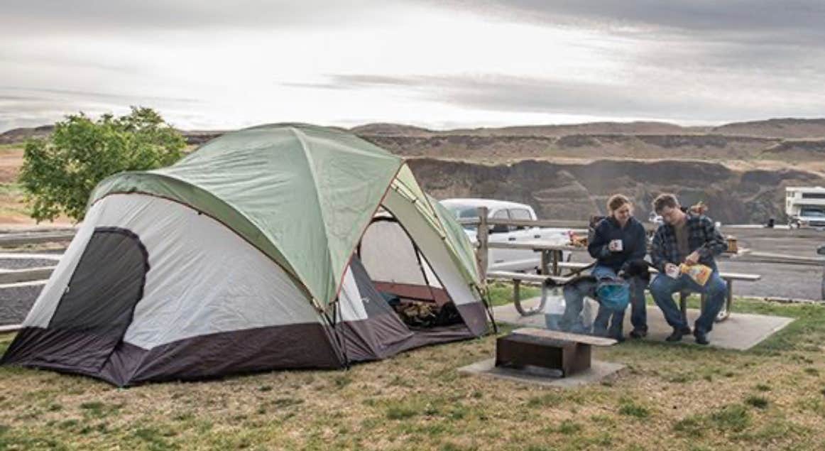
While the park lacks traditional amenities like drinking water and electric hookups, it does provide picnic tables for a comfortable spot to enjoy a meal with a view. The area is known for its limited light pollution, making it a fantastic place for night sky photography. Just be cautious near the cliffs; safety is key, as some have had close calls.
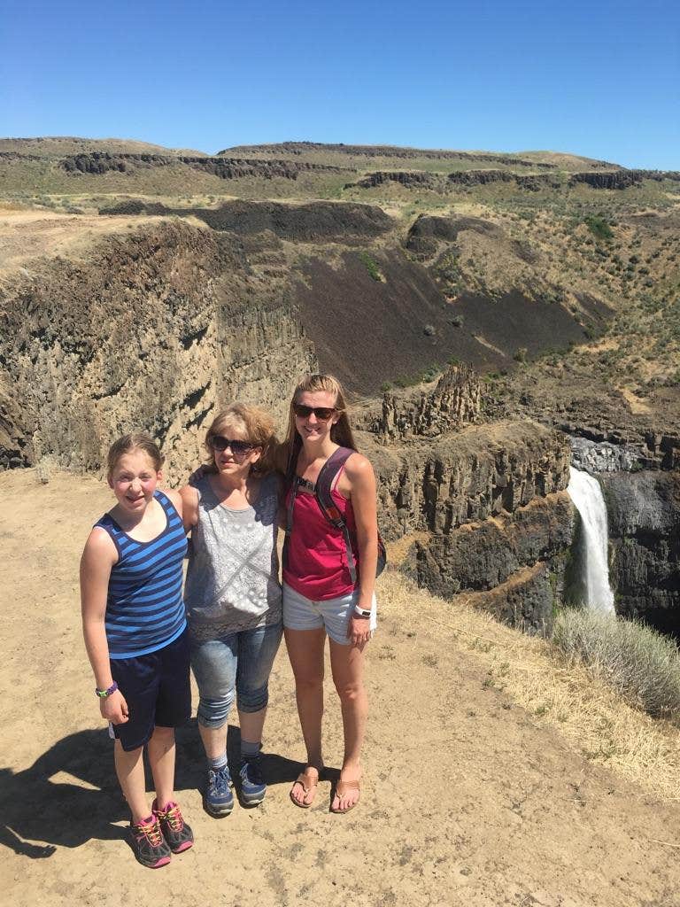
For those who enjoy hiking, there are trails that offer varying levels of challenge, from easy walks to more adventurous routes along the canyon. Visitors have noted that the scenery is particularly beautiful at sunset, so stick around to catch the stunning views as the day winds down. Whether you're here for a quick visit or a day of exploration, Palouse Falls State Park is a remarkable destination that showcases the natural beauty of Washington.
Description
Previously camping allowed - now it's Day Use Only
Location
Palouse Falls State Park - DAY USE ONLY - NO CAMPING — Palouse Falls State Park is located in Washington
Directions
Located 23 miles Southeast of Washtucna Wash in Franklin County. From SR 261 Washtucna: Drive southwest 5.8 miles to the State Route 261/260 junction, and turn left at the grain elevator. Follow SR 261 southeast for 8.7 miles to Palouse Falls Road. Turn left, and follow the road to the end (approximately 2.5 miles)
Coordinates
46.66399496 N
118.22859255 W
Connectivity
- T-MobileNo Coverage
- VerizonNo Coverage
- AT&TNo CoverageVerified by 2 usersLast on 1/25/26
Connectivity
- T-MobileNo Coverage
- VerizonNo Coverage
- AT&TNo CoverageVerified by 2 usersLast on 1/25/26
Access
Features
For Campers
- Picnic Table
- Phone Service
- Alcohol
Drive Time
- 1 hr from Walla Walla, WA
- 1 hr 9 min from Kennewick, WA
- 1 hr 21 min from Lewiston, ID
- 1 hr 33 min from Spokane, WA


