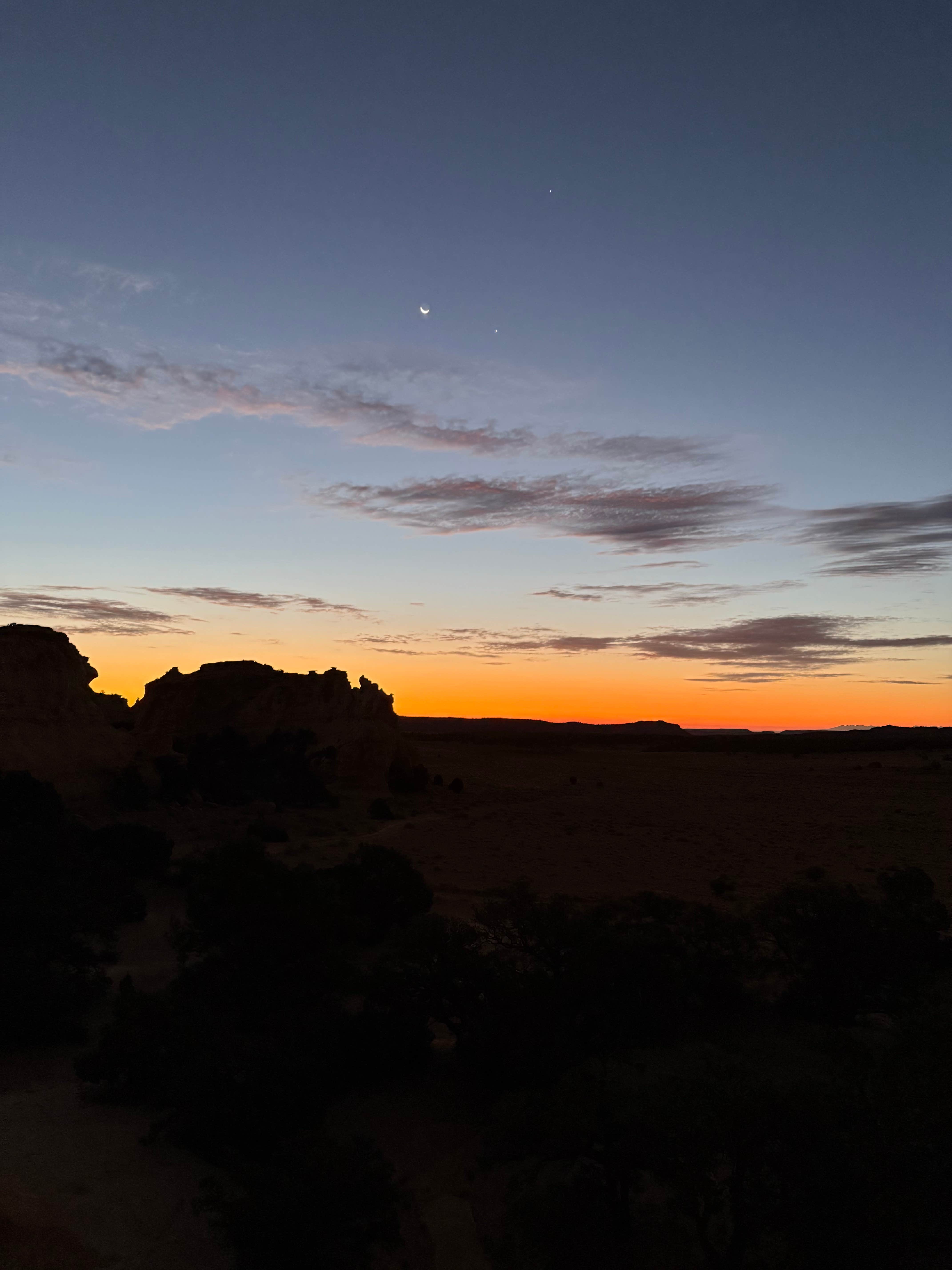
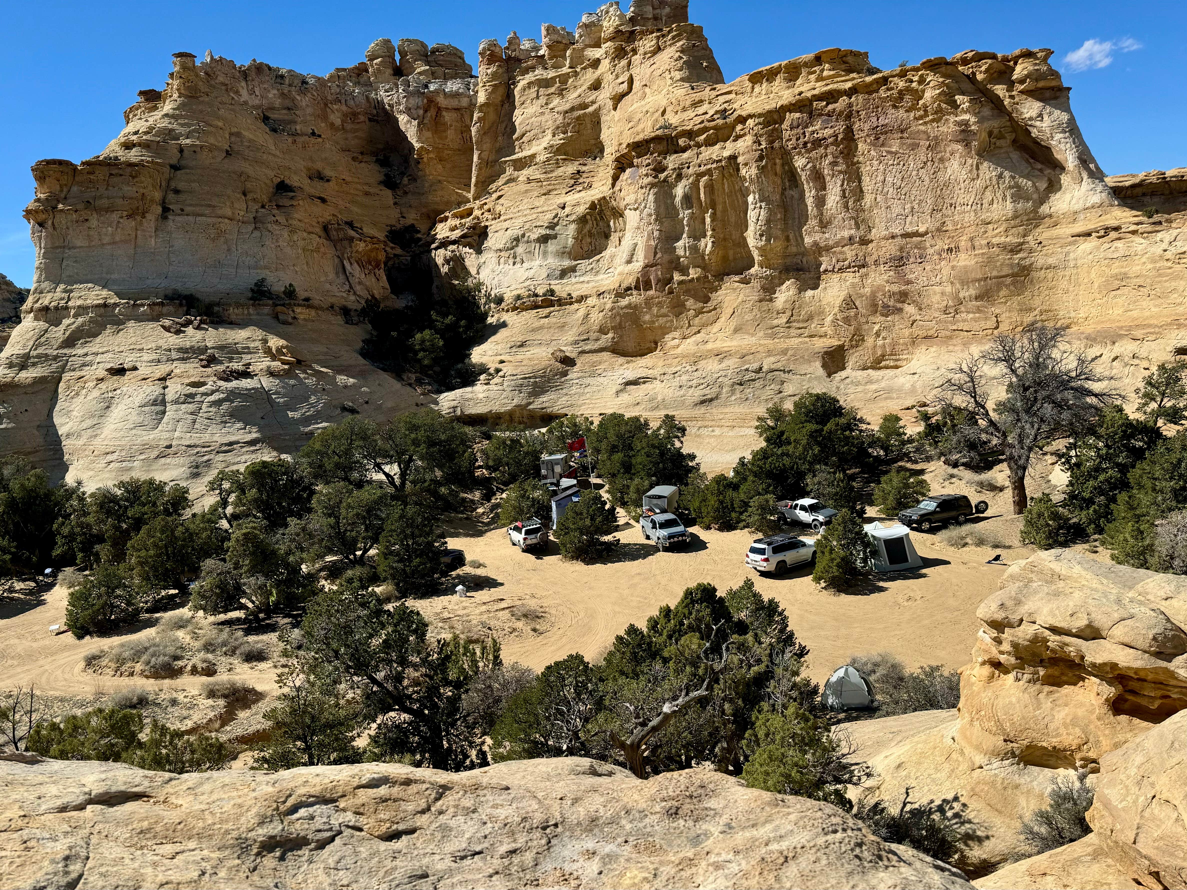
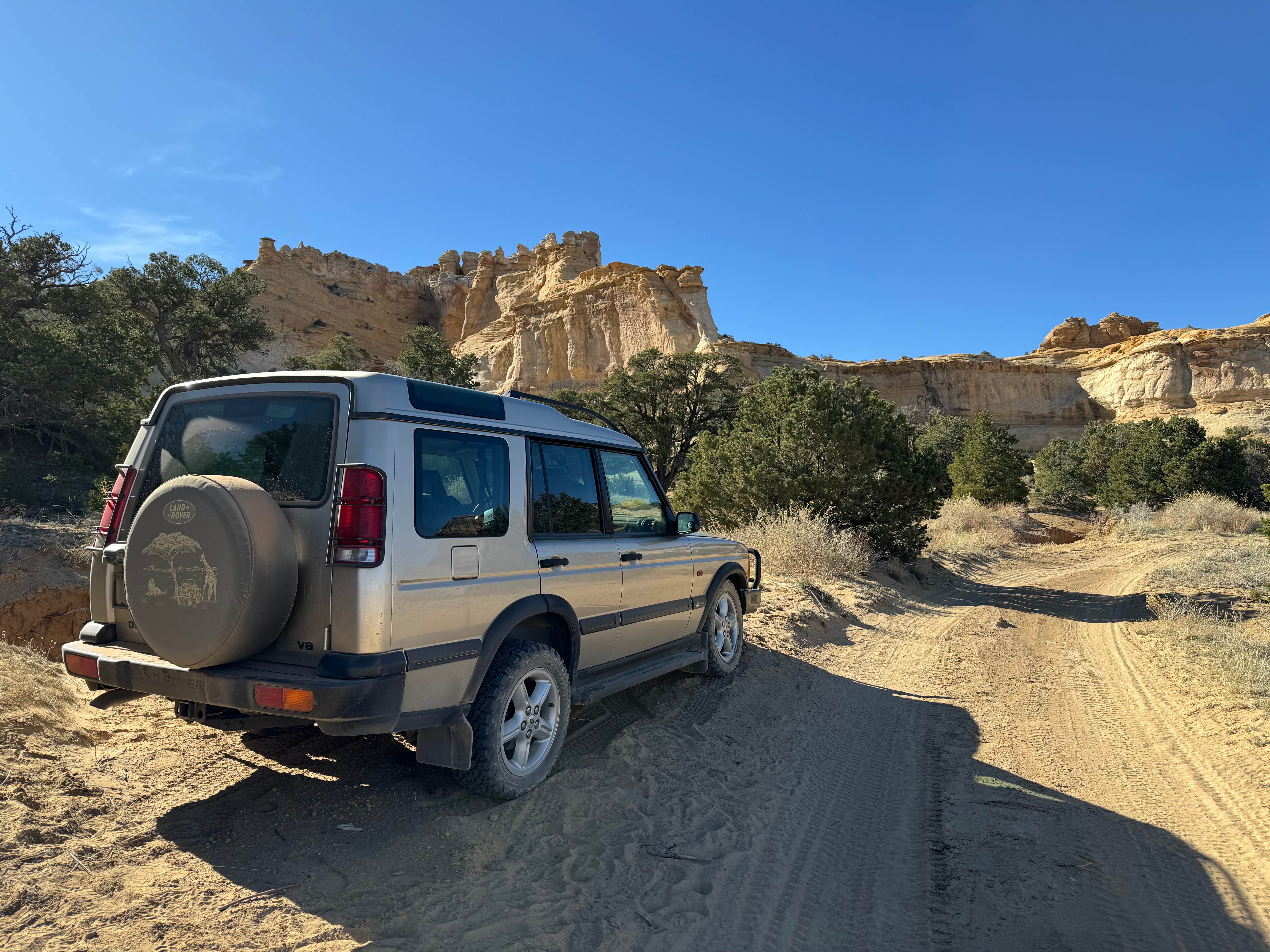
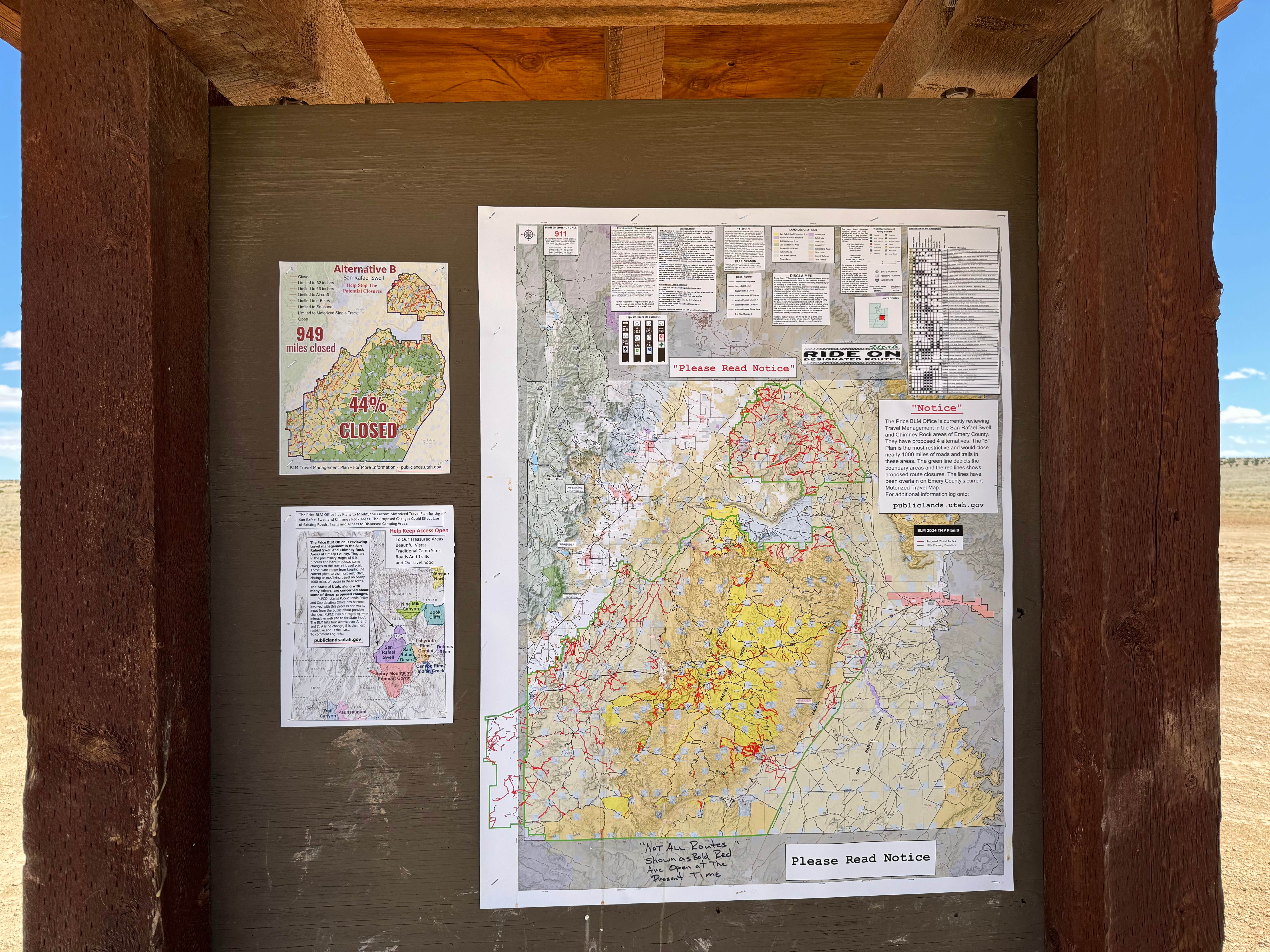
San Rafael Swell is a large area full of dirt roads, trails, and camping and Lone Warrior Canyon Camp is one of many great locations. This specific location has more space than it seems at first. There are campsites and pull offs in the trees and in the alcoves of the rock. Given that there weren’t any reviews for this spot yet, I expected to be the only one there. It is 12 miles down a dirt road that intersects many other dirt roads. However, there must have been an event of some sort because it was packed. Even so, I still had my own space and wasn’t crowded.
Camping
There are a ton of pull offs. Most are side roads like driveways to areas that have a lot of space. One area had 3 campers over 30’ each and several trucks and ATVs - a lot of the areas are like that. So you can come out and set up a city, basically, which would be admittedly awesome. It is a bit crowded (I stayed mid-April on a Wed-Thu) but there is enough space to spread out. I would have stopped earlier but I wanted to come to the exact point listed here to give a good idea of what you’d find if you followed those coordinates. It’s deceptively remote. There are sections of the road/trail that are maybe 400m from I-70 but there is “no access” from the dirt roads to the interstate. Not legal ones anyway. So it’s about 12 miles to this campsite on the dirt road then when you get to I-70, it’s about 45 miles to the next town and it isn’t a big one. Thus it may feel like you’re right there in site of civilization, but you aren’t. Civilization may come to you, though. I chose to just pull off on the side of an unused loop of trail because all the alcoves and treed areas around this location were packed with tents, trailers, and vehicles. Those big adventure tents - one even had a 20’ flag pole. I think it was a waypoint for a trip, I don’t know if this is the norm.
The Approach and Ace Test
I used exit 131 Temple Rock/Sinbad Rd which go well together, it would seem. Pavement gives way to gravel gives way to sand at the very end. It is mostly dirt/gravel road and definitely passes the Ace test (for those who don’t know, Ace was my VW Jetta (2wd sedan) that I often took overland). There are some blind hills and a lot of cattle so don’t be mislead by the easy road and fly down it. Speed limit is posted 25 and I’d stick to that. If you follow the coordinates on here, the last probably 400m is deep sand and I would not attempt that unless you have clearance. You may not need 4x4, but definitely clearance. NOT Ace friendly. There is a good parking space at the turn before the final approach, so you could park there and walk the last bit and set up camp in the trees. That would be better for the wind and sand anyway. If it’s raining, then I’d stay away from this area - at least this last 400m stretch - without 4x4 and a friend to pull you out with their vehicle or get covered in mud helping push and dig. Makes for a good story either way.
Activities
Hiking is great around this iconic rock. Not hard to get to, as I’ve mentioned, but it’s a process. The people you meet on the rock and have earned the right to share with you so no huffing that it’s crowded or that you’re “in their space.” Y’all know who I’m talking about. So, there must have been a convention because in the space under the rock and the alcove next to it were more than 20 4x4 vehicles. I saw some markers on the way in so it might be this was a waypoint for over landing. Which is awesome. Just caught me off guard as there weren’t any reviews for this spot and it’s pretty full today. Other than hiking, it’s great for photography. Spires and rock formations everywhere.
Weather
Mid-April the weather was good. 75 during the day and about 55 at night. It was pretty gusty when I was there which would have been great except that the sand all around the camp is what we call “moon dust” which puffs out and up to your knees just walking through it let alone gusts of wind throwing it around. If you don’t have dust in your car/gear yet, you will - and there’s nothing you can do about. So embrace it and enjoy the extra texture in your food and exfoliating effect on your skin.
Cell service
Said I had 1 bar Verizon LTE but could not send iMessages. Can’t access anything so make sure you do your research before you come because you can’t do it out here. I have a Garmin I use to text - mainly for updates on campsite coordinates to my safety people as well as emergency stuff.
Water
No water, creek dry

