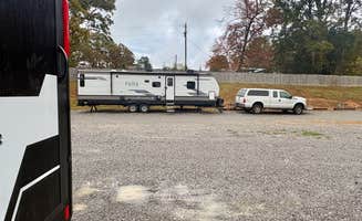
Dayton, Tennessee offers several rv campgrounds within the eastern Tennessee region. Located between Knoxville and Chattanooga at approximately 700 feet elevation, the area features access to multiple waterways including Parksville Lake and the Ocoee River. Summer temperatures typically reach mid-80s with high humidity, while spring and fall bring more moderate camping conditions with occasional rainfall.
What to do
Waterfall hiking access: At Chilhowee Recreation Area, campers can take advantage of the nearby trail system leading to scenic water features. "There is a small hike to Cumberland Falls, which is gorgeous!! We had a great time! Hot water for showers/restroom facilities," notes one visitor. Multiple waterfalls are accessible within short hiking distances from established campgrounds.
Whitewater activities: The Ocoee River provides premier rafting opportunities near local campgrounds. "Close by Occoee White Water center where the Atlanta olympics took place. Plan your visit around the water release. There schedule is online. Pretty cool to see the water trickle and then mass of water come at you," mentions a camper at Parksville Lake RV Campground.
Mountain biking trails: The region offers extensive trail networks suitable for various skill levels. "25 miles of hiking and biking trails starting right from our campsite," reports one visitor about Chilhowee Recreation Area. Many campgrounds serve as ideal base camps for accessing these recreational opportunities.
What campers like
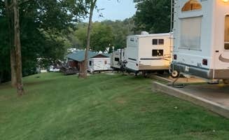
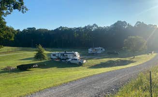
Creek-side sites: Many campers appreciate water-adjacent camping spots. "We had a great experience at this little campground. There are several sites along a beautiful little creek. It was peaceful, only the occasional car on the nearby road," notes a Parksville Lake visitor. These creekside locations often provide natural ambient sounds and cooler temperatures.
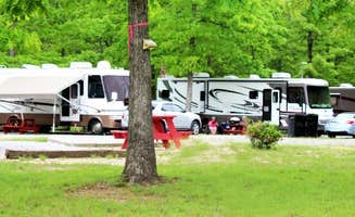
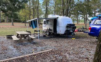
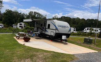
Spacious layouts: At Greeter Falls Campground, visitors mention the generous site design. "Spacious sites. Walk or drive to Greeter Falls trailhead for a beautiful waterfall hike," writes one camper. Site spacing varies considerably between campgrounds, with some offering more privacy than others.
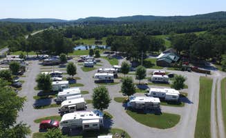
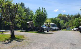
Proximity to attractions: Campers value the central location for regional activities. "The campground is also in close proximity to a lot of outdoor activities," states a Parksville Lake visitor. This strategic positioning allows for diverse day trips while maintaining a consistent base camp.
What you should know
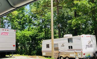
Site variations: Campers report significant differences between sites at the same facilities. "Our site was probably the worst designed one. Really strange back-in in the shape of an L over a creek with the electric on the wrong side. Probably why it was still available. But we made it work," notes one Chilhowee visitor. Researching specific site numbers before booking can prevent disappointment.
Seasonal considerations: Some facilities have restricted operating times. Chilhowee Recreation Area operates from "April to November," according to their listing information. Other campgrounds like Overnite RV Park remain open year-round but with variable amenity availability.
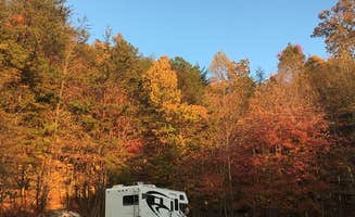
Access challenges: Mountain roads can present navigation difficulties. "To get to this campground you have to go up a steep narrow windy mountain road," warns a Chilhowee visitor. RVers should research route conditions before committing to certain campgrounds, especially with larger rigs.
Tips for camping with families
Playground facilities: Some campgrounds offer dedicated children's play areas. At Paradise on the Mountain RV Park, "There is an adorable playground for the kids. Rumor says there is possibly a splash pad coming soon," according to a recent visitor. These amenities provide entertainment options during downtime between outdoor adventures.
Swimming opportunities: Natural water features offer recreational swimming. "We did this hike in the afternoon and got a nice dip in at the falls since it was such a hot day," mentions a Greeter Falls visitor. These swimming holes provide relief during hot summer months.
Scavenger hunts: Some campgrounds create activities specifically for younger campers. At R&R RV Campground, "There's also a scavenger hunt he put out that's super fun!!" reports one family. These organized activities help keep children engaged throughout their stay.
Tips from RVers
Site leveling requirements: Many campgrounds feature uneven terrain. "Sites are gravel, required some leveling, had FHUs. 50/30/20 amp service, water and sewer of course," notes a Greeter Falls visitor. Bringing leveling blocks remains essential for most area campgrounds.
Length limitations: Navigating certain campgrounds requires caution with larger rigs. "Roads around the loops were narrow but there were big 5th wheel rigs so its doable," reports a Chilhowee camper. Some campgrounds recommend calling ahead for specific site recommendations based on vehicle length.
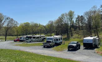
Power reliability: Electrical service varies between facilities. "Power sources 30 and 50 Amp are available," noted campers about certain parks. During peak summer months, air conditioning use can strain older electrical systems at some campgrounds.