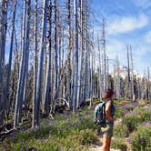
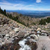
Hikers tackling the Timberline Trail will find Cloud Cap Saddle a logical base camp, positioned high on the north side of Mount Hood where the road ends and the mountain begins. Getting here takes commitment. The access road is rough dirt and rock, and multiple reviewers are clear that a high-clearance, four-wheel-drive or all-wheel-drive vehicle is the minimum requirement. In good summer conditions some drivers have made it in a sedan, but wet or early-season conditions make the route genuinely hazardous, and there is a recorded conditions line campers can call before heading up.
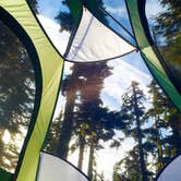
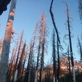
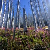
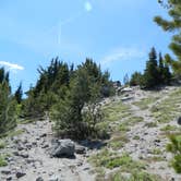
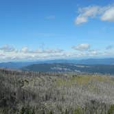
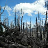
The campground itself is small. Three sites sit among tall conifers, spaced closely but opened up by the tree canopy overhead and sightlines toward the surrounding ridgelines and Mount Hood's upper slopes. There is no water on site, so all drinking water must be packed in. Toilets and picnic tables are provided. Cell service is listed as available, though coverage at elevation can vary. Just up the road from the sites stands a historic inn now used by the Forest Service, worth a short walk to look around.
"Do the Timberline Trail and this will be a stop," noted Sophie K., and that framing captures the campground's main draw accurately. Nearby, Tilly Jane Guard Station provides another option for campers working this section of the mountain, and McNeil Point Dispersed Camping sits to the west for those wanting more flexibility. The campground is open June through October. Expect bugs in August, bring cash if you plan to pay a fee, and pack a thorough first aid kit given the remote location and long emergency response times.
Description
Cloud Cap Saddle is a small campground and the location of Cloud Cap - Tilly Jane North trailhead which provides access to Timberline National Historic Trail #600 and Tilly Jane Trail #600A from the north. There is CAMPGROUND HAS NO POTABLE WATER The Historic Cloud Cap Inn is just up the road from the campground and is now used by search and rescue teams on the mountain.
RV Road Trip Guides


Map & DirectionsCloud Cap Saddle is located in Oregon near Government Camp
 Public Campground
Directions
From Hood River, travel approximately 13.1 miles south on Oregon Hwy 35 and turn right (east) onto Cooper Spur Road, approximately 0.3 miles south of milepost 74. Follow Cooper Spur Road 2.4 miles to Cloud Cap Road (Forest Road 3512) and turn left (southeast). Follow Cloud Cap Road (Forest Road 3512) approximately 9.8 miles. Alert: Forest Road 3512 is narrow and winding and may require a high-clearance or 4WD vehicle
Coordinates
45.38013056 N
121.67489275 W
Connectivity
 T-Mobile5GExcellent Coverage
 VerizonLTESome Coverage
- AT&TLTESome Coverage
Connectivity
- T-Mobile5GExcellent Coverage
- VerizonLTESome Coverage
- AT&TLTESome Coverage
Access
- Drive-InPark next to your site
Site Types
- Tent Sites
- Group
Features
For Campers
- Picnic Table
- Phone Service
- Toilets
Drive Time
- 1 hr 41 min from Portland, OR
- 2 hrs 20 min from Salem, OR
- 2 hrs 20 min from Longview, WA
- 2 hrs 38 min from Albany, OR