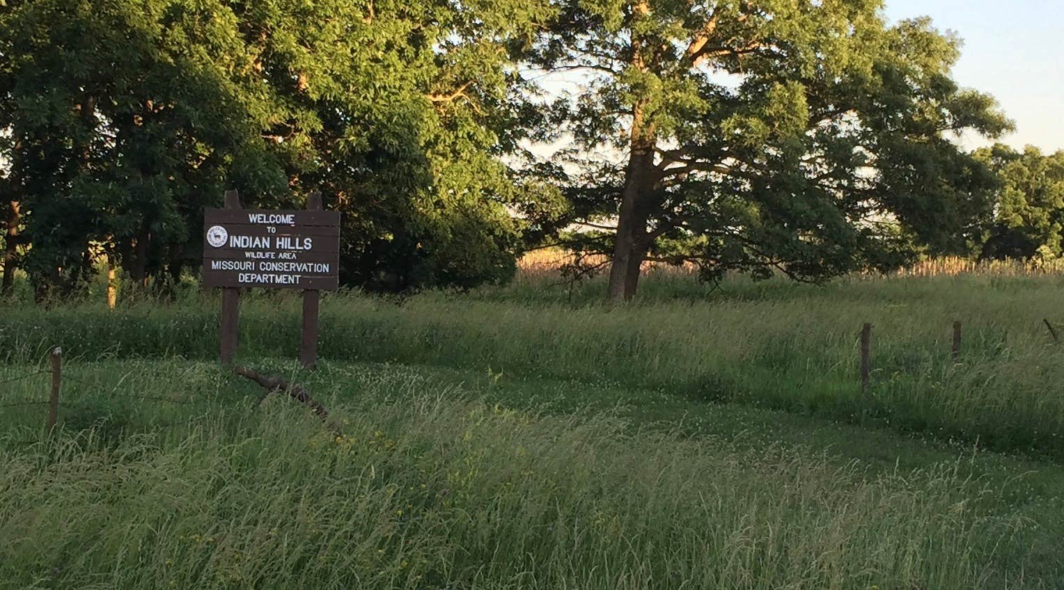
Conservation Areas in Missouri are enjoyable if you're looking for lovely scenery, and can get by with few or no amenities. Unless you're a hunter, I'd avoid camping there during the November deer season or spring or fall turkey seasons. Otherwise summer camping is fine. Indian Hills Conservation Area is no exception: https://nature.mdc.mo.gov/discover-nature/places/indian-hills-ca It is located in Scotland County in northeast Missouri and consists of rolling hills along the two branches of the Fabius River. Camping is allowed in the parking areas and the grassy areas next to the parking areas. A map of the 3,974 acre conservation area showing the parking/camping sites is found here (If you can't access this link, there is also a link to the map on the main page above): https://nature.mdc.mo.gov/sites/default/files/downloads/conservation-areas/8622map.pdf
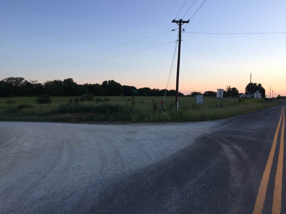
The only amenities, are two unisex toilets. The CA is on the west side of Missouri State Highway 15. This highway starts in Mexico, MO and runs northbound through the county seats of Paris, Shelbyville, Edina and lastly Memphis, MO, in Scotland County. As you leave Edina, in Knox County, northbound, you'll pass through Baring and then Greensburg. About a half mile north of Greensburg you'll enter into Scotland County and the CA will be on your left (west). Missouri blacktop T, an east/west highway, is on the north side of the CA. There is a gravel road that runs west on the county line that is just south of the CA. Missouri blacktop C is an east/west highway about a half mile south of the CA area (which ends in Greensburg). There are 4 north/south roads that access the CA. The east border is Missouri Highway 15. The next road to the west is Seven Oaks. It connects on the north to Highway T and on the south end it turns to the east at the county line and connects to Highway 15. The next road is Indian Creek Road and connects on the north to Highway T. It goes through the northwest part of the CA and loops back to Highway T. There is a Tee intersection with Otter Creek Road that runs to the east and then turn back south to end just short of the Fabius River. The westernmost road is Old Trail Road which runs along part of the west side of the CA. The map shows that the road turns east and becomes Ivy Road. Actually it is a Tee intersection and is easy to miss. Old Trail Road continues to the south. At this intersection there is a farmstead and at first glance one would think that Ivy Road is a drive. It is not. Ivy Road continues to the south leaving the CA. At the county line there is a Tee intersection. You can turn left or right. If you turn left, the road will shortly turn to the right (south) and the road becomes Knox County Autumn Rd. If you turn right you'll shortly come to another Tee intersection. Turn left and the road becomes Ash Rd. Both Autumn and Ash will connect to Blacktop C at the south end. Turn Left on C and you'll find yourself back in Greensburg. Turn right and C will intersect with Missouri Highway 11. In Scotland County, the gravel roads that intersect with Highway T don't have the names as shown in the map, but have street numbers. Seven Oaks is easy to miss, but it's almost exactly 1 mile west of the intersection of Highway T and Missouri 15. Indian Creek Road is well marked as an entrance to the CA. Old Trail Road is in the community of Bible Grove. I've included a picture of the old school in Bible Grove located a couple hundred yards to the south of Highway T. I've also included pictures of all the gravel road intersections on Highway T.
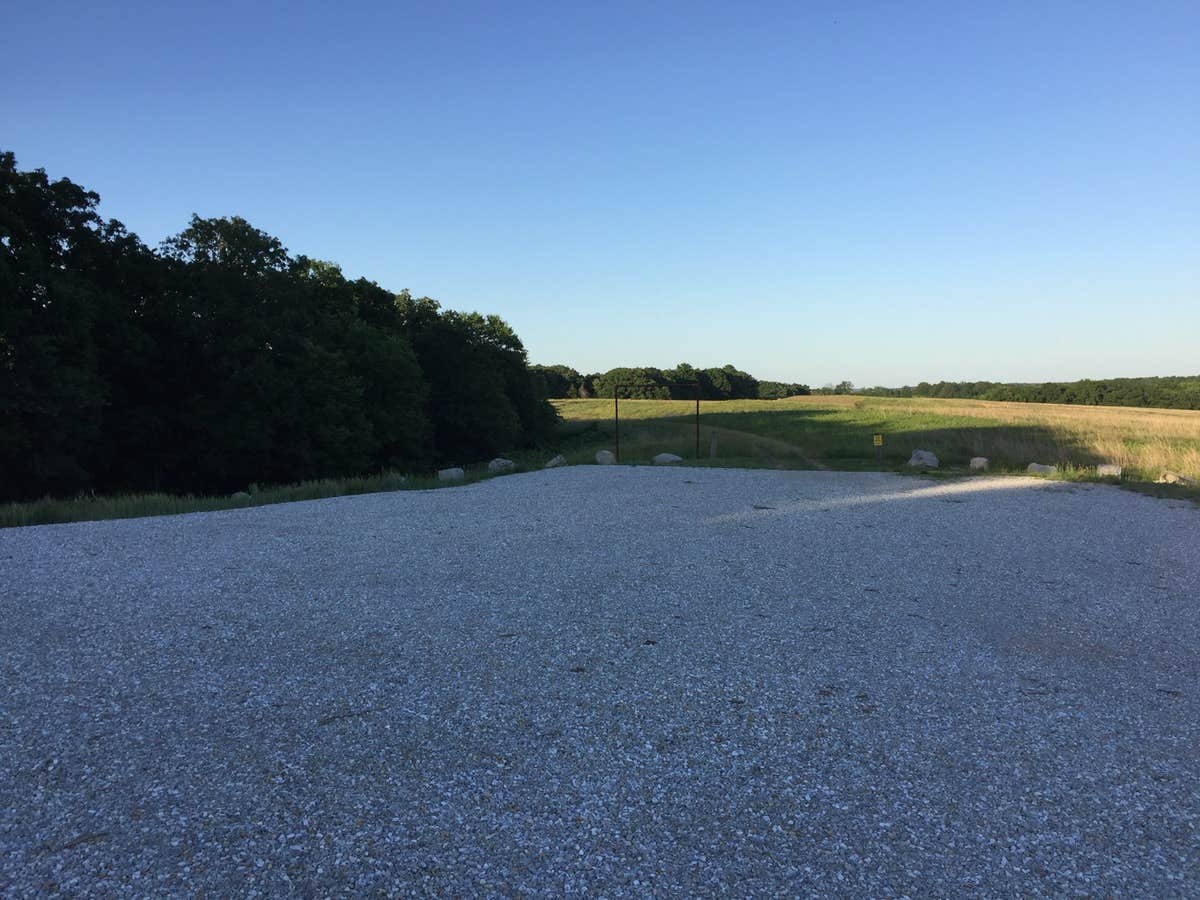
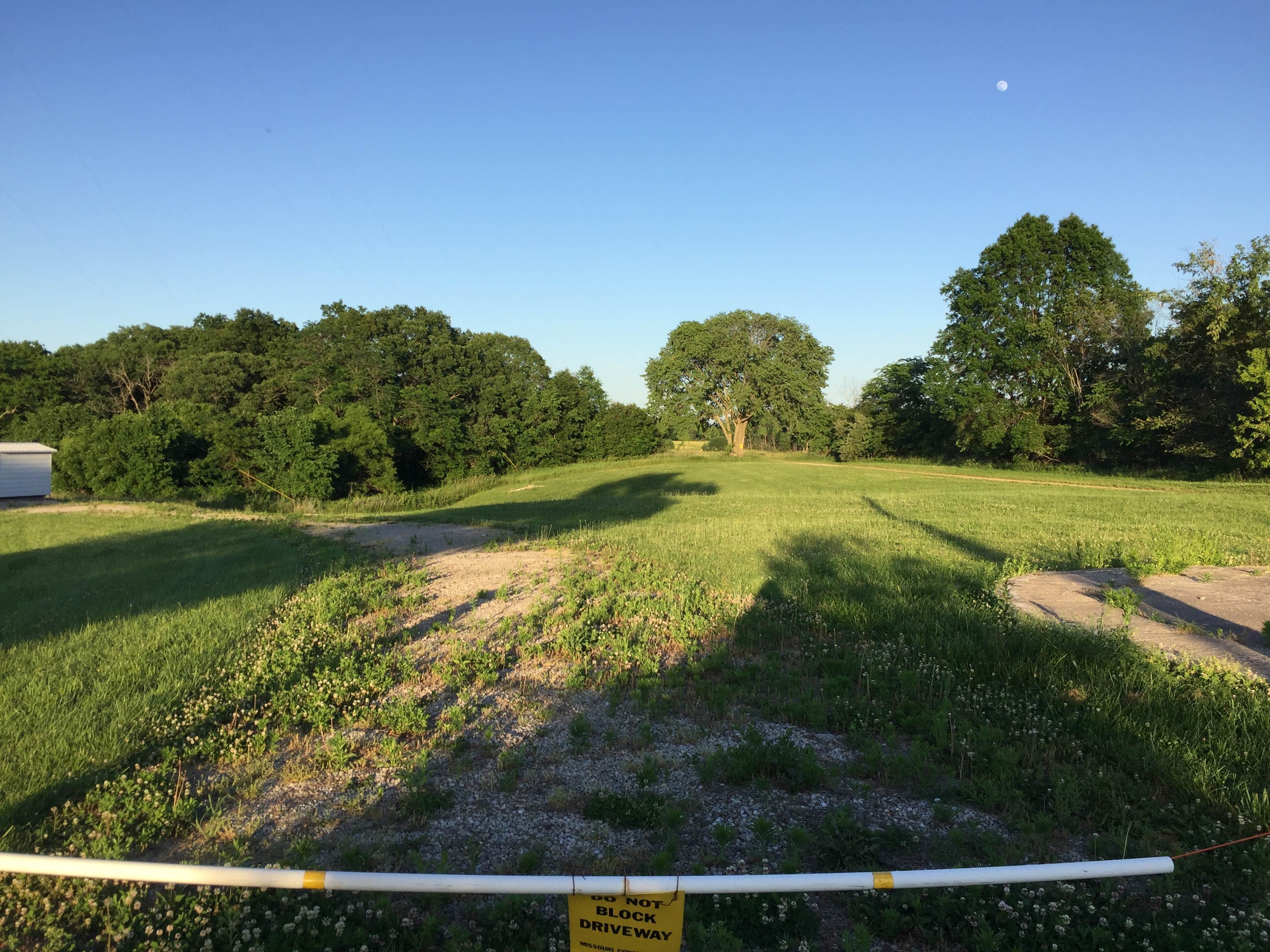
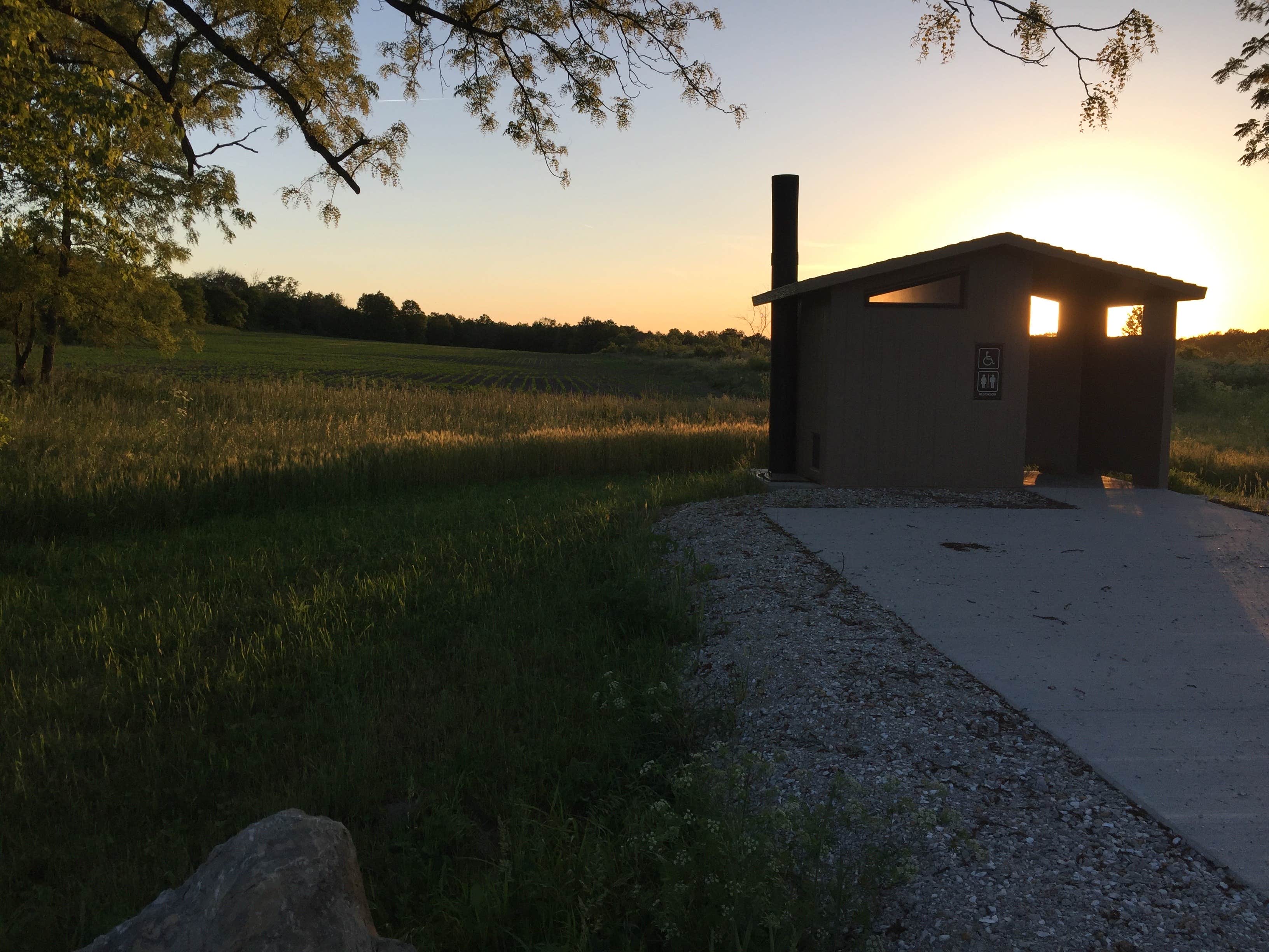
My favorite camping spot is the one at the far west edge of the CA. It has a well maintained unisex bathroom and a lovely view. Next there is a parking area on Otter Creek Road where it turns from east/west to north/south. There is a walking trail that connects this road to Seven Oaks at this location. Next there is a parking area at the midpoint on Seven Oaks I like, and finally there is the parking area on Highway 15. The good thing about this area is that it is easy to get to, being right on 15, and has a bathroom. The other parking areas are fine, but there are no bathrooms and the views are not that great. I've included pictures of 4 of my favorite parking areas, as well as the turnoffs from Highway T.

