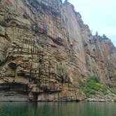
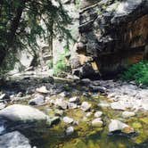
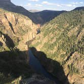
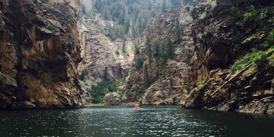
This campsite is just west of Gunnison, CO and east of Black Canyon of the Gunnison National Park. It is in the Curecanti National Recreation Area where there are multiple campgrounds and dispersed camping sites. This review is on the Curecanti Creek campground on Morrow Point Reservoir. You can locate this campsite on the map in this link https://www.nps.gov/cure/planyourvisit/maps.htm . This campground is alongside the Gunnison River in a canyon; it is beautiful and perfect for SUPing, kayaking, swimming, and fishing. This is a free campsite and is not reservable, so come claim your spot early in the day/weekend.
First thing you should know is this is a pack in or boat in campsite. When I camped here, I parked at Pioneer Point and hiked the Curecanti Creek Trail down the canyon to the river. The trail from the top to the water is just under 2 miles. It is a beautiful trail that follows Curecanti Creek. Be aware that there is a 900 ft elevation change from top to bottom; the trail is steep. The group I went with managed to hike with all our gear; none of us are avid hikers but are in our 20s. I wouldn't recommend bringing small children along, but I do recommend bringing your dog! If you want to boat in, I know that you can launch any type of car top boat at Pine Creek (refer back to that map).
Once you get down to the river there is a small campsite and very small beach area. There is room for maybe 2 tents. There is also a bear box, fire pit, and apparently a vault toilet according to the NPS website, but I don't recall there being a bathroom. Our group was too big to fit at the campsite, so we went back up the trail about a mile because there is actually another campsite up the trail that has a fire pit with a grate, a picnic table, and enough room to fit 5+ tents. I definitely recommend stopping at this campsite if you have a large group, it's a shorter haul with all your gear. This campsite is to the left of the trail and to the right of the creek. There is also another campsite called Blue Creek (refer to that map again) across the river from the first campsite I mentioned. That one is right on the river and had more space; probably enough room for 3 tents. I'm not sure what else it had because I never went over there. You would need to haul down a boat to get across the river to reach that one though.
I do recommend bringing some type of boat/raft/floatie so that you can explore the canyon. We hauled down an inflatable paddle board and paddled to Chipeta Falls (on the map) which is just east of the campsite on the river. Although the water is cold, it is calm and easy to paddle or swim in. Overall, this campsite is a little work to get to but the beauty is worth it! Not to mention, the stars at night were awesome for star gazing.

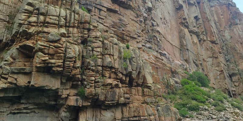


 Public Campground
 T-MobileNo Coverage