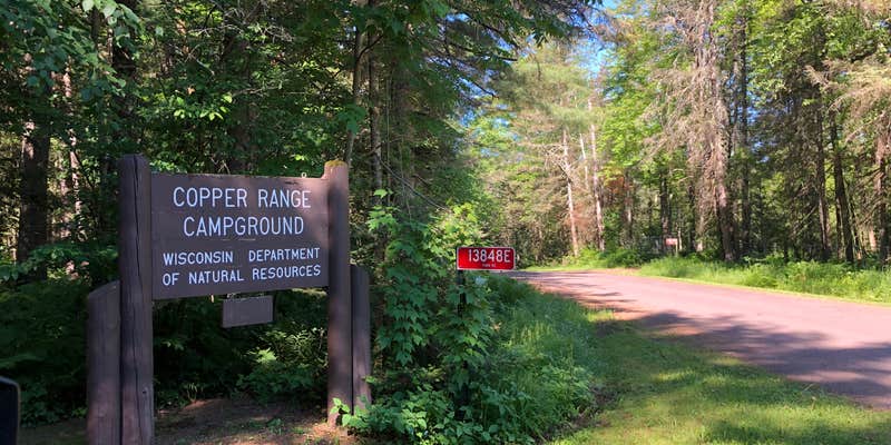
Copper Range Campground sits within Brule River State Forest in northern Wisconsin, where the Brule River runs close enough to the sites that water access shapes the entire experience. The campground is small and rustic, with no electrical hookups, making it a drive-in stop suited to tents and smaller RVs. Dense tree cover keeps sites shaded through most of the day, and the spacing between sites gives campers a reasonable degree of separation from neighbors.
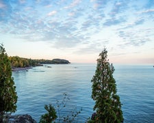
River access is the main draw here. A developed canoe landing with racks sits on-site, and a 0.9-mile trail follows the river for shore casting or fly fishing. The Brule River Water Trail runs through this stretch, and the landing works as a logical stop on a multi-day paddle itinerary, with the nearest outfitter south on Highway 2. Lake Superior is also within reasonable driving distance for those who want to add a day trip.
Amenities are basic but functional. A vault toilet and water pump are centrally located, and each site has a picnic table, fire pit, and bench. Firewood is available, and trash service is provided, though multiple reviewers have noted the campground sees limited staff monitoring, with garbage receptacles occasionally overflowing and site capacity rules loosely enforced. Wendy I. notes that despite this, it was "quiet during quiet hours, clean." Reservations are available and cost $19 per night. Anglers and paddlers who want direct river access without developed amenities will find this campground worth the detour.
Description
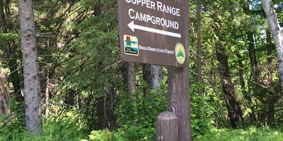
The Brule River State Forest offers exceptional recreational opportunities, including river paddling, world-class trout fishing, wildlife viewing, a 16-mile stretch of the North Country National Scenic Trail and 8 miles of Lake Superior shoreline. All 44 miles of the Bois Brule River are contained in the forest. Two campgrounds (Boise Brule and Copper Range) offer family campsites and access to canoe landings on the Bois Brule River.
RV Road Trip Guides

Map & DirectionsCopper Range Campground is located in Wisconsin near Brule
Directions
The town of Brule is located in Douglas County on US Highway 2 between Superior and Ashland. To get to the Brule River State Forest headquarters go south on Ranger Road, which is located just west of town on Highway 2. Campground is located 4.5 miles north of Highway 2 on County Highway H, and then west on Park Road.
Address
6250 South Ranger Rd
Brule, WI 54820
Coordinates
46.61100048 N
91.58200018 W
Connectivity
 T-MobileLTESome Coverage
 VerizonNo CoverageVerified by 2 usersLast on 7/4/26
- AT&TLTESome Coverage
Connectivity
- T-MobileLTESome Coverage
- VerizonNo CoverageVerified by 2 usersLast on 7/4/26
- AT&TLTESome Coverage
Access
- Drive-InPark next to your site
- Walk-InPark in a lot, walk to your site.
Site Types
- Tent Sites
- RV Sites
- Standard (Tent/RV)
- Group
Features
For Campers
- Trash
- Picnic Table
- Firewood Available
- Reservable
- Drinking Water
- Toilets
- Alcohol
- Pets
- Fires
Contact
General Info
Reservations
Drive Time
- 42 min from Duluth, MN
- 2 hrs 11 min from Eau Claire, WI
- 2 hrs 46 min from Minneapolis, MN
- 3 hrs from St. Cloud, MN


