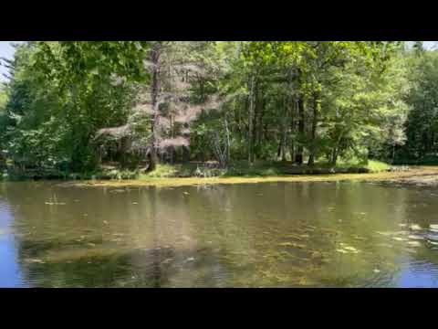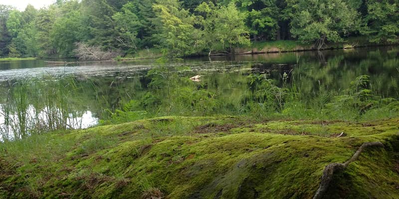
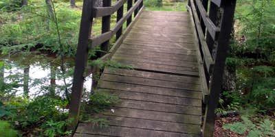
Brunet Island State Park encompasses an entire island where the Chippewa and Fisher Rivers converge, connected to the mainland by a small bridge near Cornell. The Wisconsin Department of Natural Resources manages this year-round campground, which divides into two distinct loops separated by terrain and amenities.
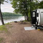
The north loop positions campsites along the Chippewa River bay, where many sites overlook the water. Campers can launch kayaks directly from waterfront sites, though Jay W. notes that "there are a lot of echoes from your neighbors across the way." The north section uses vault toilets, while the south loop houses the shower facilities and flush restrooms. Sites here accommodate RVs with full hookups and tend to draw larger camping rigs.
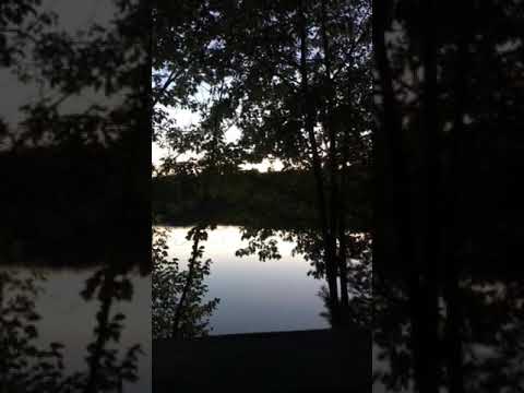
Water access defines the camping experience across both loops. "Lake front access at each unit," reports Lisa J., making this particularly appealing for paddlers. Fishing piers serve both campground areas, and reviewers consistently mention good fishing opportunities. The park includes hiking trails, a beach area, playground, and baseball field, though dogs aren't permitted in the swim area.
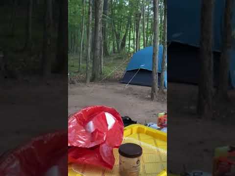
Campers should expect company during peak periods, as several reviewers mention crowded conditions and noise from neighboring sites. The mature trees provide substantial shade, but sites tend to have dirt bases rather than grass due to the canopy coverage. Cell service reaches most areas adequately. Firewood isn't available on-site, but Cornell's grocery store and businesses sit just across the bridge.
For those seeking additional options in the region, campgrounds near Cornell provide alternatives. The island setting offers direct water access that few campgrounds match, particularly for those arriving with watercraft.
Description
Framed by the Chippewa and Fisher rivers, this island park's bays and lagoons offer a quiet respite just outside the city of Cornell. There are ample recreation opportunities for boating, fishing, hiking, and canoeing. Visitors can also bike the 20-mile Old Abe State Trail. Family campsites and an open picnic shelter at the beach area are reservable.
RV Road Trip Guides

Map & DirectionsBrunet Island State Park Campground is located in Wisconsin near Cornell
Directions
From the corner where State Highway 27 makes a right-angle turn in Cornell, go west on Bridge Street (State Highway 64) for .1 mile to Park Road. Turn right on Park Road to the park entrance
Address
23125 255 Th St
Cornell, WI 54732
Coordinates
45.18300007 N
91.16500097 W
Connectivity
 T-Mobile5GExcellent Coverage
 VerizonLTESome CoverageVerified by 8 usersLast on 7/17/26
- AT&T5GExcellent CoverageVerified by 2 usersLast on 7/17/26
Connectivity
- T-Mobile5GExcellent Coverage
- VerizonLTESome CoverageVerified by 8 usersLast on 7/17/26
- AT&T5GExcellent CoverageVerified by 2 usersLast on 7/17/26
Access
- Drive-InPark next to your site
- Walk-InPark in a lot, walk to your site.
- Boat-InSites accessible by watercraft.
Site Types
- Tent Sites
- RV Sites
- Standard (Tent/RV)
- Group
Features
For Campers
- Market
- ADA Access
- Trash
- Picnic Table
- Firewood Available
- Phone Service
- Reservable
- WiFi
- Showers
- Drinking Water
- Electric Hookups
- Toilets
- Alcohol
- Pets
- Fires
For Vehicles
- Sanitary Dump
- Sewer Hookups
- Water Hookups
- Pull-Through Sites
- 30 Amp Hookups
- Big Rig Friendly
Drive Time
- 34 min from Eau Claire, WI
- 1 hr 23 min from Wausau, WI
- 1 hr 50 min from Minneapolis, MN
- 2 hrs 10 min from La Crosse, WI