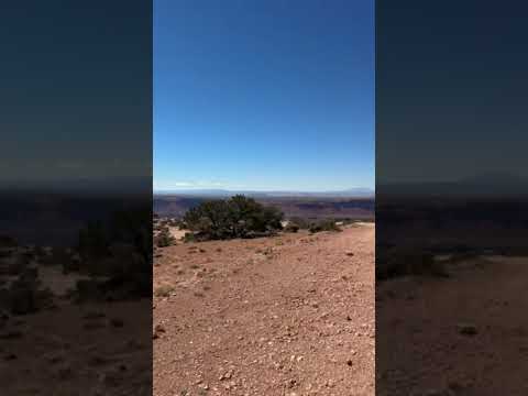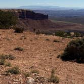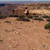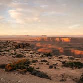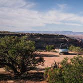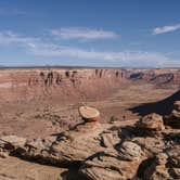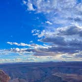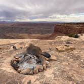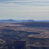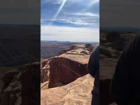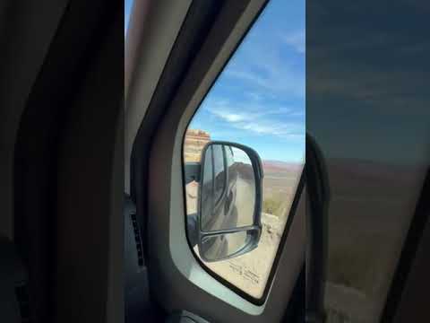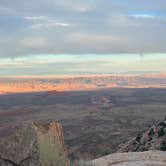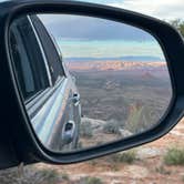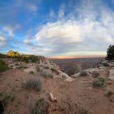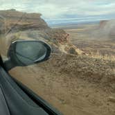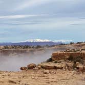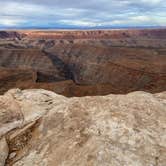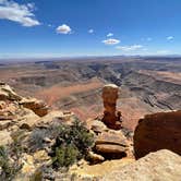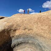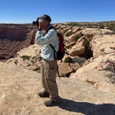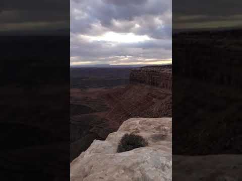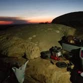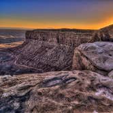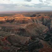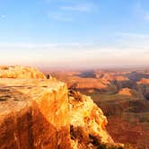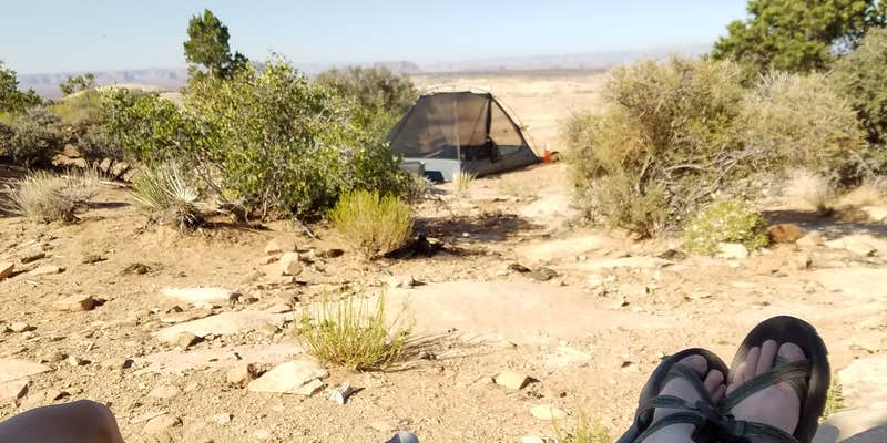
Perched at 6,300 feet on the Cedar Mesa rim within Glen Canyon National Recreation Area, Muley Point sits at the edge of a plateau that looks out over the San Juan River goosenecks, Valley of the Gods, and on clear days, Monument Valley in the distance. There are no facilities here. No water, no fire rings, no restrooms. What the site provides is open sky in every direction and sightlines that stretch for dozens of miles across the Colorado Plateau.
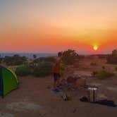
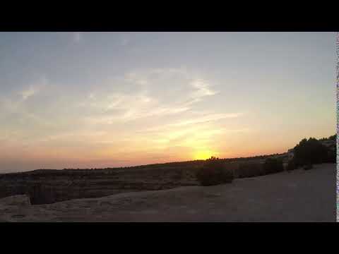
The dispersed sites sit close enough to the rim that campers can watch the sun rise and set from the same vantage point. As Melissa A. describes it, it's a "perfect dark sky area," and that holds up: no light pollution reaches the plateau at night, and the star coverage is dense enough to be disorienting. Wind is the main variable. At this elevation with no tree cover, gusts can build quickly, especially in the morning. Temperatures drop into the 30s overnight in shoulder seasons, so layering matters regardless of daytime warmth.
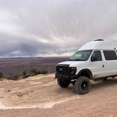
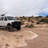
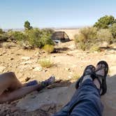
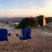
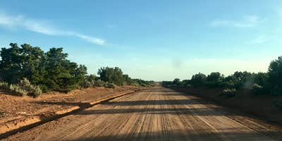
Road access is the most important factor to research before arriving. The southern approach climbs Moki Dugway, an 11% grade gravel road with tight switchbacks and a 15 mph speed limit that most reviewers strongly advise against in wet conditions or with larger vehicles. The northern approach via Highway 261 is significantly more manageable. A 28-foot Class C motorhome has made it in from the north without issue, though spots closer to the rim may require four-wheel drive. Sites are first-come, first-served. Helen H. notes that "you can view the valley right from the tent," which gives a sense of how close the rim actually is to usable camping ground.
Verizon users report LTE signal with a booster, enough for web browsing but not reliable video calls. The site draws day visitors as well, particularly in the evenings, so expect occasional foot traffic near the overlook even on weekdays. Campers who want more separation from the edge or from other rigs should scout the perimeter of the plateau on arrival. Muley Point BLM Dispersed on the Cedar Mesa Rim sits just to the east and gives a sense of the broader dispersed camping options along this stretch of mesa. Those wanting managed facilities nearby can look at Goosenecks State Park Campground to the southeast.
RV Road Trip Guides


Map & DirectionsMuley Point is located in Utah near Mexican Hat
 Dispersed Camping
Coordinates
37.23518072 N
109.99227328 W
Connectivity
 T-MobileNo CoverageVerified by 1 userLast on 3/9/26
 VerizonLTESome CoverageVerified by 2 usersLast on 10/6/26
- AT&TLTESome CoverageVerified by 4 usersLast on 10/6/26
Connectivity
- T-MobileNo CoverageVerified by 1 userLast on 3/9/26
- VerizonLTESome CoverageVerified by 2 usersLast on 10/6/26
- AT&TLTESome CoverageVerified by 4 usersLast on 10/6/26
Access
- Drive-InPark next to your site
Site Types
- Dispersed
Features
For Campers
- ADA Access
- Phone Service
- Alcohol
- Pets
- Fires
For Vehicles
- Big Rig Friendly
DISPERSED CAMPING
Enjoy dispersed camping on government land and leave no trace. Pack in and pack out. No (or limited) services at this camping area. Permit may be required.
PERMIT might be REQUIRED
We curate permit requirements across the US for our PRO members. Try PRO to see if Muley Point — Glen Canyon National Recreation Area needs a permit.
Drive Time
- 2 hrs 38 min from Farmington, NM
- 3 hrs 36 min from Flagstaff, AZ
- 4 hrs 2 min from Grand Junction, CO
- 5 hrs 19 min from St. George, UT