Public Campground
Devil Track Lake Campground
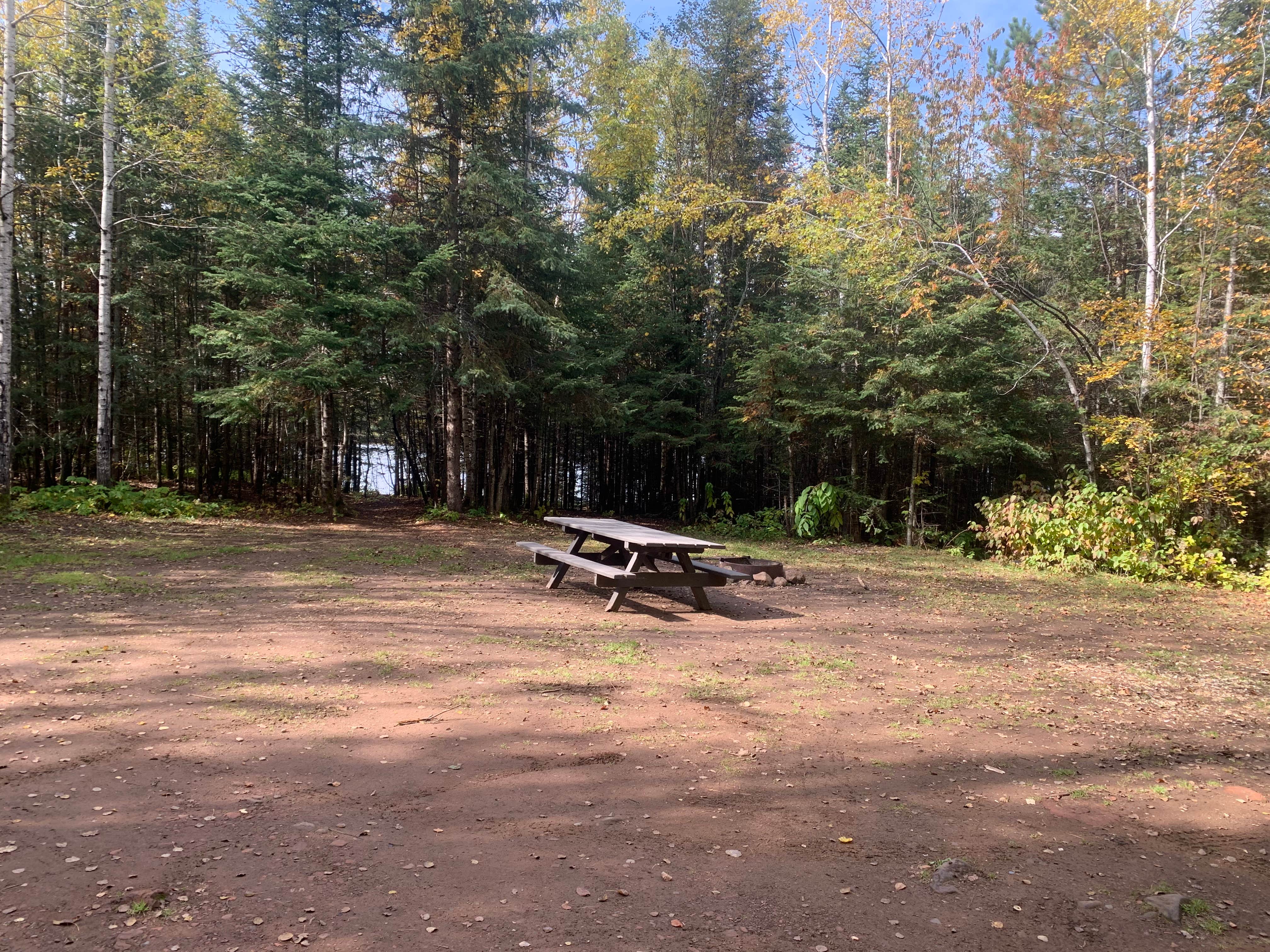
Devil Track Lake Campground, near Grand Marais, Minnesota, is a rustic retreat that offers a peaceful escape into nature. With most campsites right by the water, you can enjoy stunning views and the soothing sounds of the lake.
This campground is known for its clean facilities and private sites, allowing you to unwind without the noise of nearby campers. Many visitors appreciate the kind hosts who check in to ensure everything is in order, while you can enjoy the solitude of the surrounding Superior National Forest. As one camper noted, “You can’t see other sites from your own,” which adds to the sense of privacy.
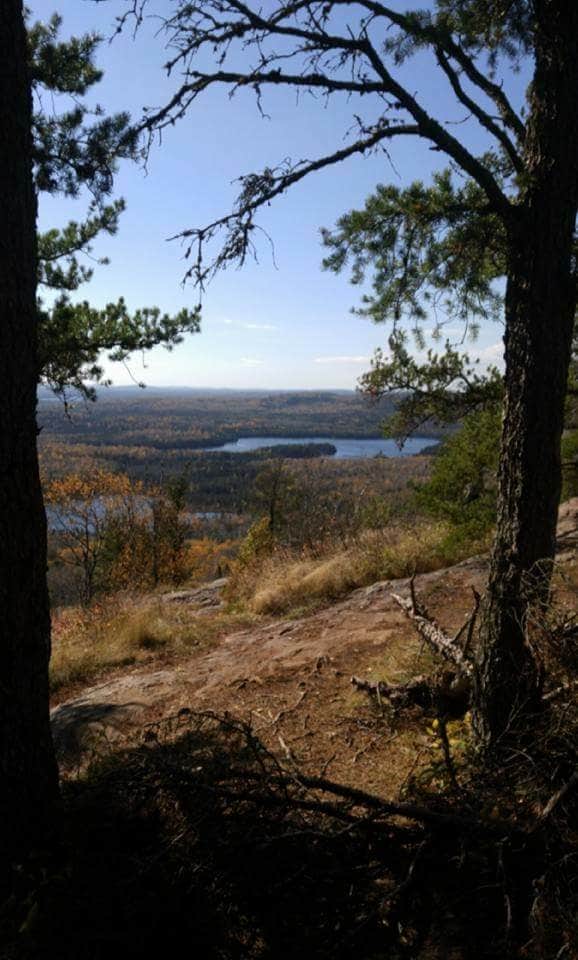
For those who love outdoor activities, the area is perfect for fishing and hiking, with trails leading to scenic spots like Eagle Mountain, the highest point in Minnesota. Whether you’re here for a weekend or a longer stay, Devil Track Lake Campground provides a great base for exploring the natural beauty of the region.
Description
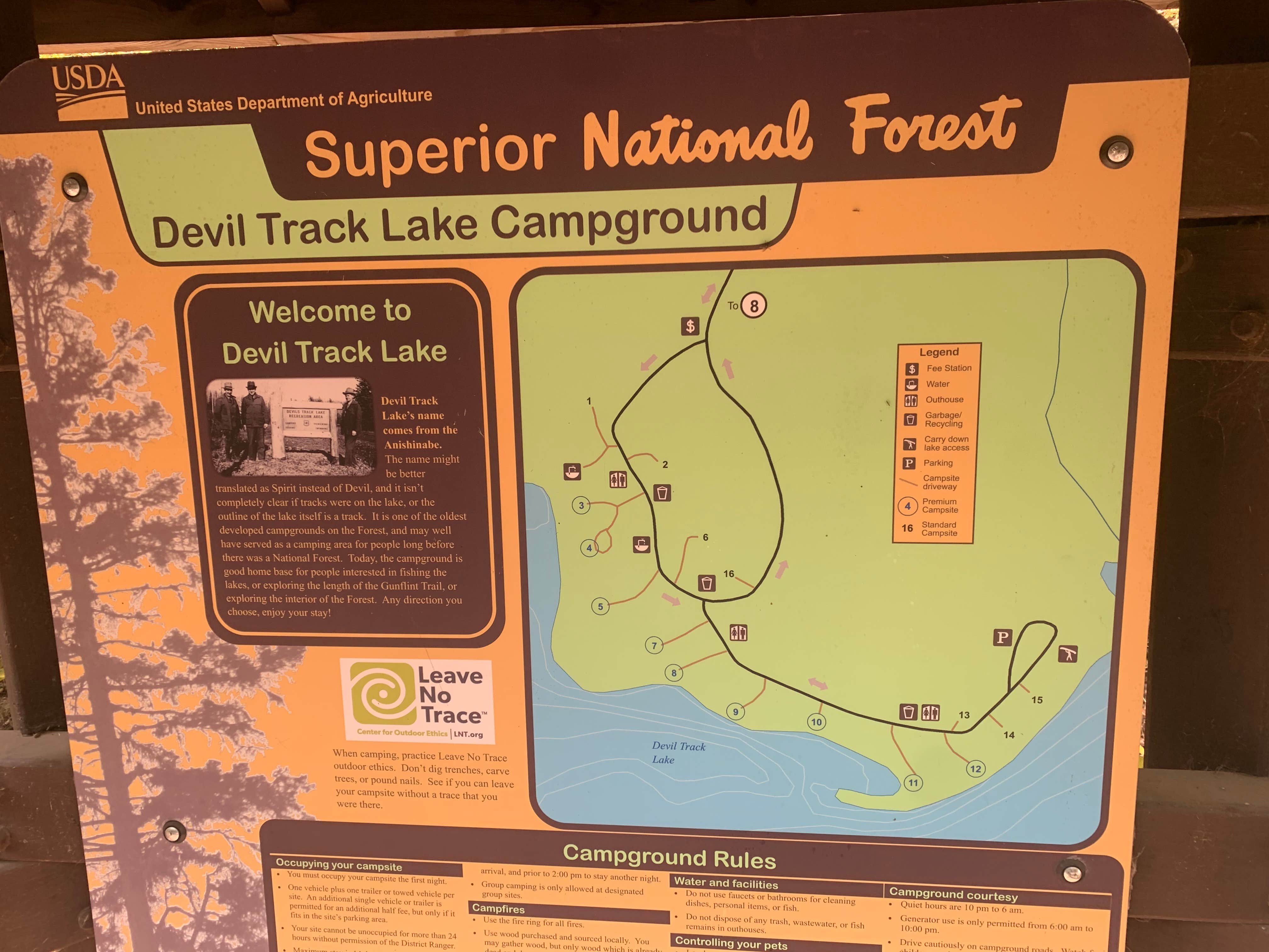
Devil Track Campground is a nicely wooded campground located on the shore of Devil Track Lake. There are many young pines in the area, making it an excellent spot to look for wildlife. Devil Track Lake is a rough translation of the Ojibwe name: 'spirit' would probably better capture the concept than 'devil'. Regardless of the name, the lake is fun to fish. A carry down boat launch and pier are located at the campground and a drive in ramp located about 0.5 miles away will help you get a line in the water. Downloadable information and map.
Location
Devil Track Lake Campground is located in Minnesota
Directions
Located 12 miles north of Grand Marais on Co. 57. From MN 61in Grand Marais, turn north on Co 12, the Gunflint Trail. Follow Co 12 about 4miles to Co. 8. Turn left on Co 8 and follow it 5.7 miles to the fork of Co 8 and 27. Veer left to stay on 8. Follow 8 about 2.7 miles until you reach the campground. Past the campground, 8 is Co 57. Note:The roads are paved to the campground drive. Take paved roads at forks.
Coordinates
47.83014785679813 N
90.46763630839811 W
Connectivity
- T-MobileNo Coverage
- VerizonNo Coverage
- AT&TNo CoverageVerified by 1 userLast on 2/1/26
Connectivity
- T-MobileNo Coverage
- VerizonNo Coverage
- AT&TNo CoverageVerified by 1 userLast on 2/1/26
Access
- Drive-InPark next to your site
Site Types
- RV Sites
- Standard (Tent/RV)
- Tent Cabin
Features
For Campers
- Trash
- Picnic Table
- Drinking Water
- Toilets
- Pets
- Fires
Drive Time
- 2 hrs 45 min from Duluth, MN
- 5 hrs 1 min from Eau Claire, WI
- 5 hrs 5 min from St. Cloud, MN
- 6 hrs 12 min from Wausau, WI

