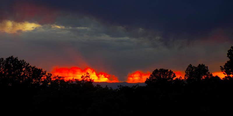
Sand pads built alongside Forest Service Road 949 provide multiple dispersed camping options with views toward the Sangre de Cristo Mountains. The Bureau of Land Management manages this area where campers can access sites by vehicle or on foot, with pets and alcohol permitted under current regulations.
Multiple camping spots line the road leading to a busy trailhead, offering sandy ground that accepts tent stakes despite the loose surface layer. The town of Crestone sits less than a mile away, providing walkable access to supplies and services. Early September temperatures remain comfortable for camping near Crestone, while hiking, biking, and equestrian trails extend from the area's terminus.
RV Road Trip Guides


Map & DirectionsCrestone Needle Trail is located in Colorado near Crestone
Coordinates
37.99052652 N
105.6858793 W
Connectivity
 T-MobilePossible CoverageVerified by 17 usersLast on 7/29/26
 VerizonLTESome CoverageVerified by 9 usersLast on 7/29/26
- AT&TLTESome CoverageVerified by 3 usersLast on 7/29/26
Connectivity
- T-MobilePossible CoverageVerified by 17 usersLast on 7/29/26
- VerizonLTESome CoverageVerified by 9 usersLast on 7/29/26
- AT&TLTESome CoverageVerified by 3 usersLast on 7/29/26
Access
- Drive-InPark next to your site
- Walk-InPark in a lot, walk to your site.
Site Types
- Tent Sites
- RV Sites
- Standard (Tent/RV)
- Dispersed
Features
For Campers
- Alcohol
- Pets
DISPERSED CAMPING
Enjoy dispersed camping on government land and leave no trace. Pack in and pack out. No (or limited) services at this camping area. Permit may be required.
PERMIT might be REQUIRED
We curate permit requirements across the US for our PRO members. Try PRO to see if Crestone Needle Trail needs a permit.
Drive Time
- 2 hrs 49 min from Pueblo, CO
- 3 hrs 10 min from Colorado Springs, CO
- 3 hrs 35 min from Denver, CO
- 3 hrs 45 min from Boulder, CO


