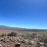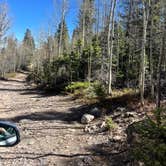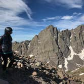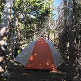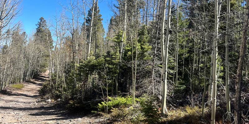
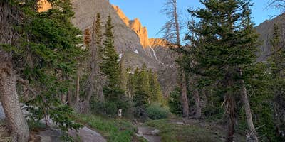
San Isabel National Forest's South Colony Basin sits at the end of S Colony Road, a rocky, rough route that requires a 4WD vehicle with clearance to reach the upper trailhead. From there, it's roughly a 4-mile hike to dispersed sites scattered around the lower lake and into the trees. No facilities exist here. Sites use rock rings or occasional metal fire rings, and everything must be packed in and out. Weekends draw crowds. Anglers will find the lakes stocked, and three 14ers are accessible from the basin. Those researching campgrounds near Crestone should note that 2WD vehicles may not make it past the parking area, so plan accordingly.
Description
South Colony Basin and the surrounding 14,000-foot peaks offer a broad range of recreational opportunities, including camping, hiking, backpacking, mountaineering, fishing and hunting. This diversity of activities, combined with the natural beauty of the basin and the rough but passable access provided by the road, has made South Colony Basin the most popular destination in the Sangre de Cristo Range. Trailhead register data indicate 3,500 to 4,500 persons (7,000 to 9,000 visitor days) visit the small (1500 acre) upper basin at the head of the South Colony drainage during the summer season. Since 1996, the Forest Service has worked in partnership with Rocky Mountain Field Institute, Colorado Fourteeners Initiative, Colorado Outward Bound, and other educational and environmental service organizations to reconstruct trails and climbing routes within the basin, stabilize eroding alpine slopes (caused by user-created trails), inventory and restore undesirable campsites and social trails. To date, nearly $1,000,000 (of mostly non-federal funds) and 40,000 volunteer hours have been spent restoring long-term recreational impacts, rebuilding the lower road, constructing trailhead facilities and creating sustainable summit trails in South Colony Basin.
RV Road Trip Guides


Map & DirectionsSouth Colony Basin is located in Colorado near Crestone
 Dispersed Camping
Directions
Take highway 69 south out of Westcliffe for 4.5 miles to County Road 119(Colfax Lane). Turn right on to CR 119 and follow it till it ends then turn right, this is the South Colony Road. There is trailhead parking on the right after about one mile. The road beyond this point requires 4wd and high clearance, but continues for another 2.5 miles to the South Colony Trailhead.
Coordinates
37.97669645 N
105.50505482 W
Connectivity
 T-MobileNo Coverage
- VerizonNo Coverage
 AT&TLTESome Coverage
Connectivity
- T-MobileNo Coverage
- VerizonNo Coverage
- AT&TLTESome Coverage
Access
- Drive-InPark next to your site
- Walk-InPark in a lot, walk to your site.
- Hike-InBackcountry sites.
Site Types
- Dispersed
Features
For Campers
- Phone Service
- Alcohol
- Pets
- Fires
DISPERSED CAMPING
Enjoy dispersed camping on government land and leave no trace. Pack in and pack out. No (or limited) services at this camping area. Permit may be required.
PERMIT might be REQUIRED
We curate permit requirements across the US for our PRO members. Try PRO to see if South Colony Basin needs a permit.
Drive Time
- 1 hr 28 min from Pueblo, CO
- 1 hr 57 min from Colorado Springs, CO
- 2 hrs 49 min from Denver, CO
- 3 hrs 12 min from Boulder, CO