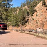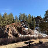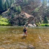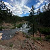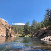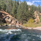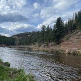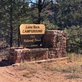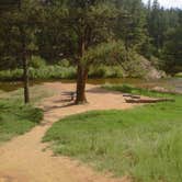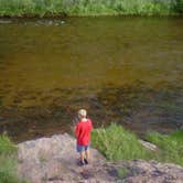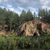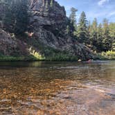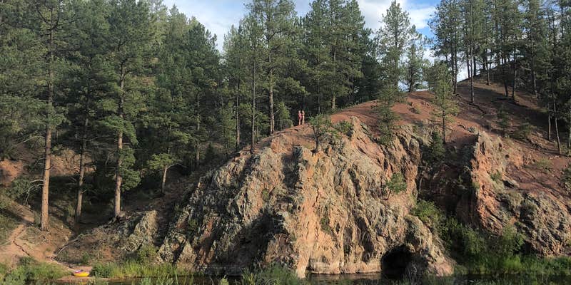
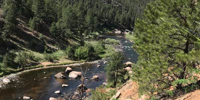
Anglers and river enthusiasts can access prime South Platte River fishing directly from their campsite at Lone Rock Campground. This Forest Service campground stretches along the riverbank in Pike National Forest, with sites positioned close enough to the water that campers can hear the current from their tents.
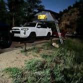
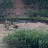
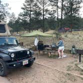
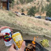
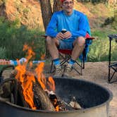
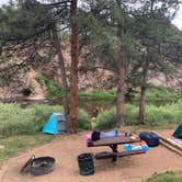
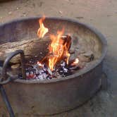
The campground accommodates both RVs up to 40 feet and tent campers, though the layout creates distinct experiences. RV sites with water and sewer hookups line the access road, while select tent sites sit closer to the river with more natural spacing. CC C. notes that "sites next to the river were perfect, and each had their own fire rings," with some featuring boxed-in leveled tent platforms. The vault toilets stay clean, and water spigots provide basic amenities during the operating season.
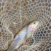
River activities dominate the recreation here. Tubing proves popular with families, as the gentle current allows kids to float downstream and walk back up the path repeatedly. Fly fishing draws crowds throughout the day, with approximately 30 anglers working a one-mile stretch of river even on weekdays in October. However, fishing pressure means catches can be challenging despite the appealing water. Several sites offer direct river access, eliminating the need to walk far for water activities.
Access requires navigating a rough road that can become more challenging in wet conditions. The campground operates year-round at $28 per night during peak season, dropping to $20 after late September when water gets shut off for winter. Cell service remains nonexistent for most carriers. A camp host typically provides firewood bundles for purchase during the reservable season from Memorial Day through Labor Day. The small community of Deckers sits nearby for basic supplies, though most shops close by 6 PM.
Reserve ahead for summer weekends when river access sites fill quickly, or visit during shoulder seasons for solitude along the South Platte.
Description
Overview
Lone Rock Campground, located along the South Platte River, boasts spectacular views and top-notch fly fishing waters. Hikers thoroughly enjoy the nearby Gill Trail and kayakers are drawn to the rapids of the rushing river. Wildlife viewing is rewarding here and campers may spot moose, mule deer, owls, golden eagles and more.
Recreation
Anglers flock to the river, renowned for rainbow and brown trout fishing. Tubing is also a popular activity. The Gill Trail is an intermediate hike that weaves through Cheesman Canyon. The trailhead is near the campground and extends 7 miles southwest to the Cheesman Dam at Cheesman Lake.
Facilities
Amenities include two vault toilets and drinking water from a community hydrant. Parking aprons and roads are paved, and each campsite has a picnic table and campfire ring. No RV hookups are available. Services include trash collection and firewood is available for sale.
Natural Features
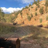
The campground is situated on a hillside rising up from the South Platte River at an elevation of 6,479 feet. Many sites are open and feature a view of the river. Privacy is minimal but ponderosa pines provide some shade. Temperatures are generally mild.
Nearby Attractions
The drive along Highway 126 from Pine Junction affords magnificent views of the valleys below. Pikes Peak can be seen in the distance and other prominent rock formations present themselves throughout the scenic drive. Limited groceries are available in the town of Decker.
Contact Info
For facility specific information, please call (303) 647-2366.
Charges & Cancellations
Cancellations Individual Campsites: Cancellations up to 2 days before a reservation start date incur a $10.00 cancellation fee. A visitor who cancels a reservation the day before or on the day of arrival will pay a $10.00 service fee AND forfeit the first night's use fee including tax and applicable add-on for a campsite. Cancellations for a one-night reservation will forfeit the entire amount paid and will not be subject to an additional service fee. No-Shows A no-show visitor is one who does not arrive at a campground and does not cancel the reservation by check-out time on the day after the scheduled arrival date. Staff will hold a campsite until check-out time on the day following the arrival date. No-shows are assessed $20.00 service fee and forfeit the first night's rate, taxes and applicable add-on for a campsite. Refunds Visitors may submit a refund request through their Recreation.gov profile within 7 days of the end date of their reservation. Refunds will not be issued after the 7 days has ended. Refunds for debit or credit card payments will be issued as a credit to the original bank or credit card used to pay. For check or cash purchases, Recreation.gov will mail a Treasury check for refunds of cash, check, or money order payments to the address associated with the reservation. Treasury check refunds may take up to 6-8 weeks to arrive. In the event of an emergency closure, the Recreation.gov team or facility manager will refund all fees and will attempt to notify you using the contact information within the Recreation.gov visitor profile.
Warning 1 Alert is In Effect
There is 1 alert for this campground. Camp safely!
Warning 1 Alert is In Effect
There is 1 alert for this campground. Camp safely!
PIKE-SAN ISABEL NATIONAL FORESTS & CIMARRON AND COMANCHE NATIONAL GRASSLANDS** STAGE 1 FIRE PROHIBITIONS **** PROHIBITIONS**Pursuant to 16 U.S.C. 551 and 36 C.F.R. 261.50(a), the following are prohibited on the National Forest System (NFS) in the Leadville, Salida, San Carlos, Pikes Peak, South Park and South Platte Ranger Districts of the Pike-San Isabel National Forests & Cimarron and Comanche National Grasslands, described below and shown on the attached map incorporated into this Order as Exhibit A, hereinafter referred to as the Described Area:
- Building, maintaining, attending, or using a fire (including fires fueled by charcoal or briquettes), except if it is in
- A permanent metal or concrete fire pit or grate that the U.S. Forest Service has installed and maintained at its developed recreation sites (campgrounds and picnic areas);
- A device solely fueled by liquid or gas that can be turned on and off used in an area barren or cleared of all flammable materials within three feet of the device; or
- A fully enclosed metal stove with a chimney at least five feet in length and a mesh screen spark arrestor with a screen opening of a inch or less used in an area that is barren or cleared of all flammable materials within 10 feet of the device.36 CFR 261.52(a).
- Using an explosive. 36 C.F.R. 261.52(b)
- Smoking is prohibited, except in an enclosed vehicle or building, a developed recreation site, or while stopped in an area at least three feet in diameter that is barren or cleared of all flammable materials. 36 CFR 261.52(d)
- Welding, or operating acetylene or other torch with open flame, except if in a cleared area of at least 10 feet in diameter and a chemical pressurized fire extinguisher (with a minimum 8 oz. capacity and rating of Class 2A) is kept with the operator. 36 CFR 261.52(h) EXEMPTIONS Pursuantto36 C.F.R.261.50(e), thefollowingpersons areexemptfrom thisOrder:
- Persons with Forest Service Permit No. FS-7700-48 (Permit for Use of Roads, Trails, or Areas Restricted by Regulation or Order), specifically exempting them from this Order or a written determination by a Forest Service authorized officer that a permit is not required under 36 C.F.R. 251.50(e)(1) or (2).
- Any Federal, State, or Local Officer, or member of an organized rescue or firefighting service in the performance of an official duty. DESCRIBEDAREA All National Forest System lands, roads, and trails within the exterior boundaries of the Pikes Peak, South Platte, South Park, Leadville, Salida and San Carlos Ranger Districts of the Pike-San Isabel National Forests & Cimarron and Comanche National Grasslands, as depicted on the map attached as Exhibit A of this Order. PURPOSE Thepurposeof this Order is to protect natural resources and public health and safety. IMPLEMENTATION
- This Order shall be in effect from August 21, 2026, at 12:01 a.m. through August November 14, 2026, at 11:59 p.m., unless rescinded.
RV Road Trip Guides


Map & DirectionsLone Rock Campground is located in Colorado near Deckers
 Public Campground
Directions
From Denver, Colorado, take Highway 285 southwest to Pine Junction, Colorado. Turn south on Jefferson County 126 and travel 28 miles. Look for signs into campground.
Address
PIKE NATIONAL FOREST
S.platte ranger dist, CO
Coordinates
39.2516667 N
105.2341667 W
Connectivity
 T-MobileNo CoverageVerified by 4 usersLast on 10/25/26
- VerizonNo Coverage
- AT&TNo CoverageVerified by 3 usersLast on 10/25/26
Connectivity
- T-MobileNo CoverageVerified by 4 usersLast on 10/25/26
- VerizonNo Coverage
- AT&TNo CoverageVerified by 3 usersLast on 10/25/26
Access
- Drive-InPark next to your site
Site Types
- Tent Sites
- RV Sites
- Standard (Tent/RV)
- Group
- Tent Cabin
Features
For Campers
- Firewood Available
- Reservable
- Toilets
- Alcohol
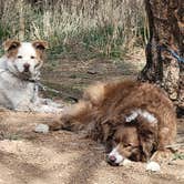
- Pets
- Fires
For Vehicles
- Sewer Hookups
- Water Hookups
- Pull-Through Sites
- Big Rig Friendly
Drive Time
- 1 hr 1 min from Colorado Springs, CO
- 1 hr 15 min from Denver, CO
- 1 hr 22 min from Pueblo, CO
- 1 hr 28 min from Boulder, CO