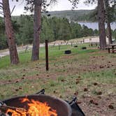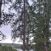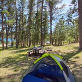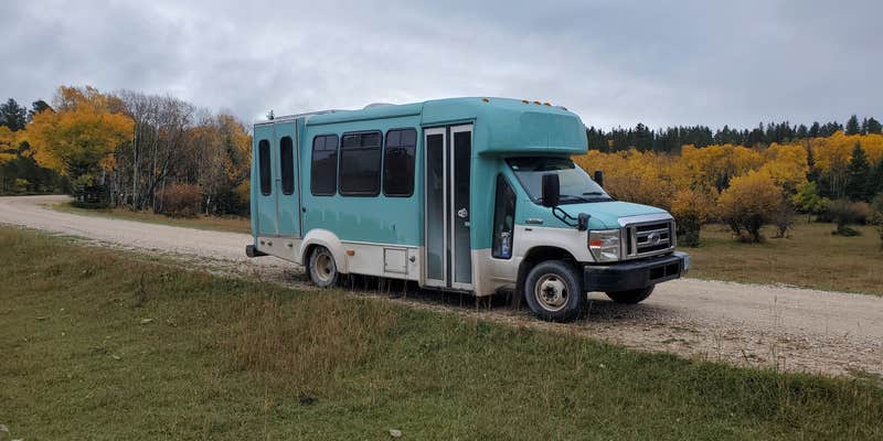
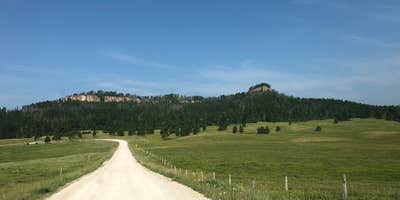
Accessible by a winding road through neighboring cattle ranches, Custer Trail operates as one of three campgrounds on Deerfield Reservoir within Black Hills National Forest. The Forest Service manages this small facility with 4-5 RV sites positioned directly on the water and additional walk-in tent sites scattered on the hillside about 100 feet from parking areas. Sites accommodate RVs up to 50 feet with electric and water hookups available.
The campground attracts fewer visitors than other reservoir locations due to its longer access route. Campers frequently report washboard road conditions on the approach, though the drive remains manageable for RVs and trailers. "Very peaceful and we're able to watch Osprey dive into the lake all afternoon," notes Nevin C.. The reservoir provides opportunities for swimming, kayaking, and shoreline fishing, with reviewers particularly noting good fishing success north of the camping area.
Basic amenities include pit toilets, fire rings, and drinking water, with campers allowed to collect dead and down wood from the surrounding national forest. Cell service can be limited, particularly for Verizon users. Cattle from nearby ranches occasionally provide nighttime sounds that some visitors find pleasant. The facility typically operates from Memorial Day through Labor Day with self-check-in procedures, though late-season camping may be available without fees when signage is absent.
Campers seeking more developed facilities can find options at Dutchman less than a mile away.
Map & DirectionsCuster Trail is located in South Dakota near Black Hills National Forest
Directions
From Hill City go west on Highway 17, Deerfield Road approximately 23 miles to northwest side of lake, turn right or south on FSR 417, travel to end of road.
Coordinates
44.02500085 N
103.79700028 W
Connectivity
 T-MobileNo Coverage
- VerizonNo Coverage
 AT&TLTESome Coverage
Connectivity
- T-MobileNo Coverage
- VerizonNo Coverage
- AT&TLTESome Coverage
Access
- Drive-InPark next to your site
- Walk-InPark in a lot, walk to your site.
- Hike-InBackcountry sites.
- Boat-InSites accessible by watercraft.
Site Types
- Tent Sites
- RV Sites
- Standard (Tent/RV)
- Cabins
- Tent Cabin
- Yurts
Features
For Campers
- Market
- ADA Access
- Trash
- Picnic Table
- Phone Service
- WiFi
- Drinking Water
- Electric Hookups
- Toilets
- Alcohol
- Pets
- Fires
For Vehicles
- Sanitary Dump
- Water Hookups
- Pull-Through Sites
- Big Rig Friendly
Drive Time
- 1 hr 10 min from Rapid City, SD
- 3 hrs 46 min from Casper, WY
- 4 hrs 38 min from Cheyenne, WY
- 5 hrs 39 min from Bismarck, ND