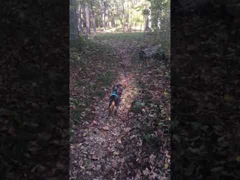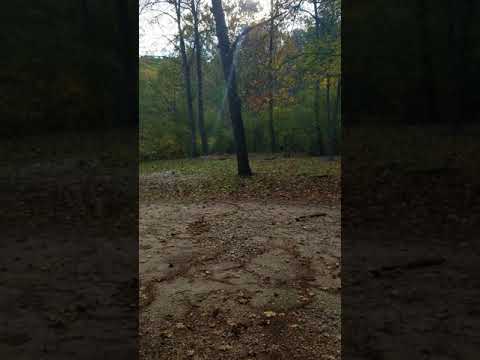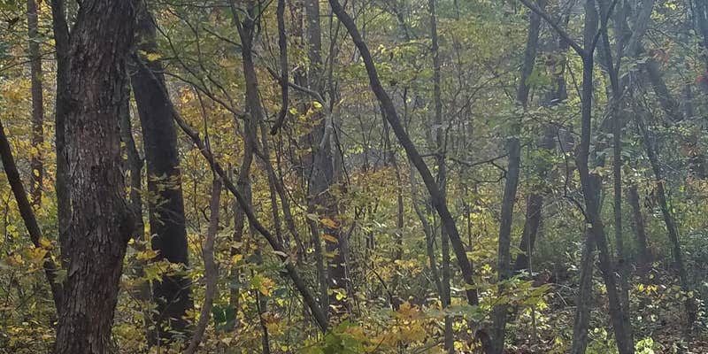
Horse and hiking trail access makes Brazil Creek a practical base camp for exploring the Berryman Trail system within Mark Twain National Forest. The Forest Service maintains this primitive campground along a clear-running creek, where campers can filter water and cool off after trail activities.
The campground features one official picnic table and fire ring, though previous visitors have constructed additional rock fire circles throughout the dispersed camping area. Multiple hitching posts accommodate equestrian campers, while the creek runs directly behind the main camping zone. DiveSyke notes the water is "ice cold and good for sticking sore feet in" with fish visible in the stream.
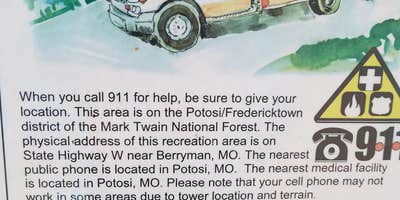
Cell coverage varies significantly by provider - AT&T users report 1-3 bars while other networks may have no signal. The campground lacks drinking water, showers, and electrical hookups, though a vault toilet was added in recent years. Road access requires careful navigation since GPS reliability drops in the area.
Campers should bring printed maps, adequate water supplies, and a small shovel for waste disposal. The site works well for groups given the open layout and multiple informal camping spots around the main facilities.
Description
The Brazil Creek Recreation Area serves as a trail camp for the 24-mile Berryman Trail and the 40 mile Courtois Section of the Ozark Trail. The Berryman Trail traverses 24 miles of scenic Ozark countryside starting at the site of a Civilian Conservation Corps camp of 1937 and winding through timbered stands and fields. This section of the Ozark Trail is part of the over 200 mile through-trail. For more information about these sections of trail, visit www.ozarktrail.com . Camping, hiking, mountain biking, and horseback riding here offer the recreationist a pleasant measure of solitude and quiet.
RV Road Trip Guides

Map & DirectionsBrazil Creek is located in Missouri near Potosi
Directions
From St. Louis, take Hwy 21 south to Potosi (60 miles); From Potosi, MO, take Hwy 8 west for 16 miles; turn north onto County Road 207 (formerly Forest Road 2266) and go about 4 miles; left onto Forest Road 2265 and go 3 miles; right on Hwy W for about 1 mile.
Coordinates
37.98711529 N
91.032568 W
Connectivity
 T-MobileNo Coverage
 VerizonLTESome CoverageVerified by 1 userLast on 5/13/26
 AT&TLTEGood CoverageVerified by 11 usersLast on 7/20/26
Connectivity
- T-MobileNo Coverage
- VerizonLTESome CoverageVerified by 1 userLast on 5/13/26
- AT&TLTEGood CoverageVerified by 11 usersLast on 7/20/26
Access
- Drive-InPark next to your site
- Walk-InPark in a lot, walk to your site.
- Hike-InBackcountry sites.
Site Types
- Tent Sites
- Group
- Equestrian
Features
For Campers
- Picnic Table
- Phone Service
- Toilets
- Alcohol
- Pets
- Fires
For Vehicles
- Big Rig Friendly
Drive Time
- 1 hr 51 min from St. Louis, MO
- 2 hrs 3 min from Jefferson City, MO
- 2 hrs 13 min from Cape Girardeau, MO
- 2 hrs 32 min from Columbia, MO