
Roosevelt National Forest's Cache la Poudre corridor holds Upper and Lower Ansel Watrous Campgrounds along the banks of the river that gives the canyon its name. Managed by the US Forest Service, the two loops sit roughly 13 miles west of Highway 287 on Colorado 14, making Fort Collins a reasonable supply stop before heading in. The campground runs year-round, with the Upper Loop staying open through winter on a first-come, first-served basis outside the reservation season.
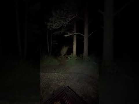
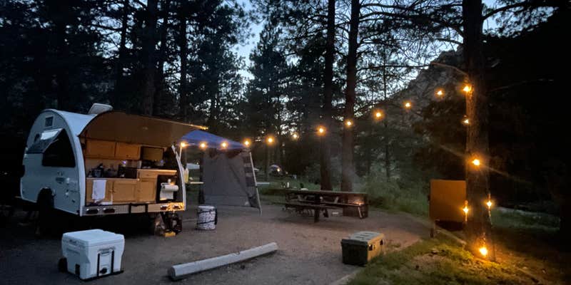
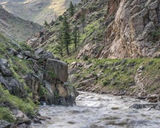
The river defines the experience here. Sites in the lower loop sit close to the water, and the sound of the Cache la Poudre moving over rocks carries through camp consistently enough to mask most of the highway noise from the road above. Some sites along the road side have little shade, but the riverbank offers a place to cool off during summer afternoons. Wind through the canyon can pick up sharply overnight, and multiple campers recommend staking tent guy lines fully before turning in. Rattlesnakes have been reported in the tall grass near the sites, something the camp host has flagged to arriving campers.
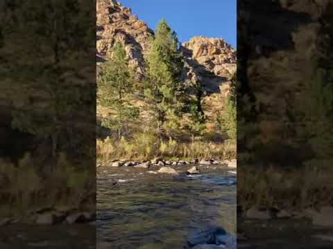
Anglers find trout water right at camp, and the river sees regular raft and kayak traffic during summer months. The Riverside Colorado: A Canyon Retreat campground sits a couple of miles east along the same canyon for campers weighing options in the corridor. Greyrock Trailhead is a short drive away and provides one of the more accessible hikes in the area. The Mishawaka, a bar and music venue downstream, gives campers a nearby option for a meal or a cold drink.
Access deserves attention before arrival. The lower loop has a sharp hairpin turn that limits trailer length, and the entry road can be rough. The campground is listed as big-rig friendly up to 40 feet for the upper loop, but the lower loop's switchback has turned back some trailers despite the general listing. Vault toilets are maintained consistently, drinking water is available via hand pump, and firewood is sold by the camp host at the upper loop. Amy S. describes the walk-in tent sites as "right on the banks of the large rushing river." Cell service is limited to nonexistent at the site, so downloading maps and confirming reservations through Recreation.gov before leaving town is worth the extra step.
Description
Overview
Ansel Watrous Campground is located on the Cache la Poudre River, 22 miles northwest of Fort Collins, Colo., along Highway 14. Visitors enjoy the area for its great rafting, fishing and hiking opportunities.
Recreation
The Cache la Poudre River offers whitewater rafting and fishing. Anglers cast for brown, cutthroat and rainbow trout, among other species of fish. Hiking, biking and horseback riding trails are in the surrounding area, including the 4-mile Young Gulch Trail. Other popular activities enjoyed by visitors to the campground include birding and wildlife viewing.
Facilities
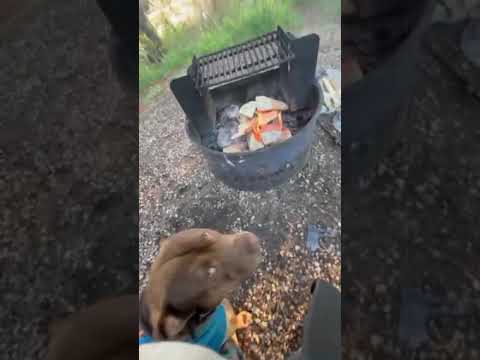
The campground offers accessible single-family sites, each equipped with a 12-by-15 tent pad, a picnic table and a campfire ring with grill. Vault toilets and drinking water are provided. Dead and downed firewood may be gathered in the forest or purchased from the campground host.
Natural Features
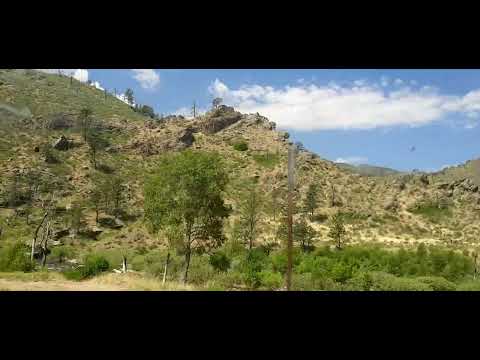
The canyon's vegetation varies from dense forests to open meadows and the campground is surrounded by steep mountains. The campground is situated among Ponderosa pines on the banks of the Cache la Poudre River, Colorado's first river designated as a National Wild and Scenic River.
Contact Info
For facility specific information, please call (530) 529-0578.
Charges & Cancellations
A $10.00 service fee will apply if you change or cancel your reservation. Late cancellations are subject to additional fees.Modifications for this campground must be made through Recreation.gov or by calling the call center at 1-877-444-6777 PRIOR to your reservation start date. Customers and contact center agents cannot modify reservations on or after the check-in date.
RV Road Trip Guides

Map & DirectionsUpper and Lower Ansel Watrous Campgrounds is located in Colorado near Livermore
Directions
From Fort Collins, take Highway 14 northwest for 13 miles.
Coordinates
40.6897083 N
105.3491639 W
Connectivity
 T-MobileNo Coverage
- VerizonNo Coverage
- AT&TNo Coverage
Connectivity
- T-MobileNo Coverage
- VerizonNo Coverage
- AT&TNo Coverage
Access
- Drive-InPark next to your site
- Walk-InPark in a lot, walk to your site.
Site Types
- Tent Sites
- RV Sites
- Standard (Tent/RV)
Features
For Campers
- Trash
- Firewood Available
- Reservable
- Drinking Water
- Toilets
- Alcohol
- Pets
For Vehicles
- Big Rig Friendly
Drive Time
- 33 min from Fort Collins, CO
- 59 min from Greeley, CO
- 1 hr 3 min from Cheyenne, WY
- 1 hr 22 min from Boulder, CO