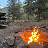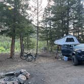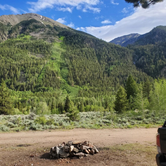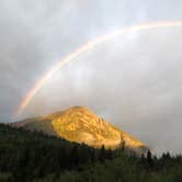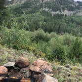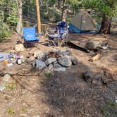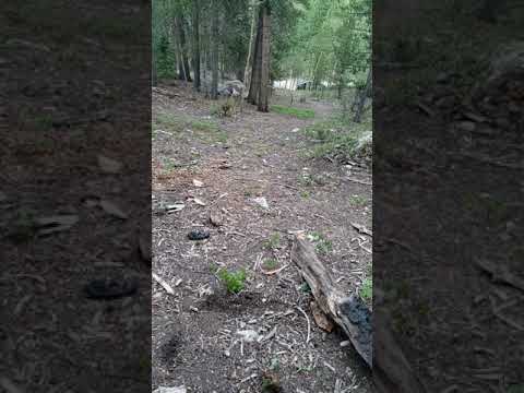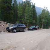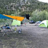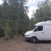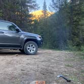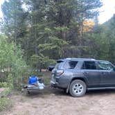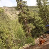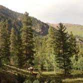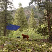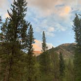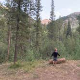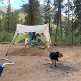
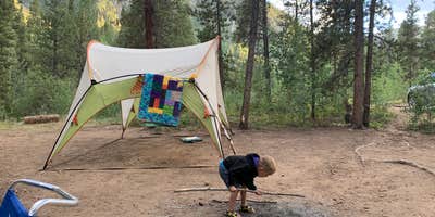
San Isabel National Forest's Chaffee County Road 390 corridor runs through a high-elevation valley where mountains rise on both sides, and the dispersed camping along it is free, first-come, and entirely undeveloped. Sites vary considerably in size, distance from the road, and proximity to the creek, so it pays to scout before committing. Some pull-offs fit a single vehicle; others have accommodated groups of 20 or more. Campers researching camping near San Isabel National Forest will find this corridor among the more accessible free options in the region.
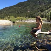
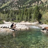
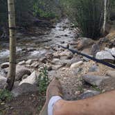
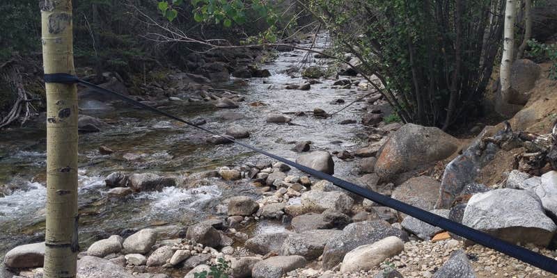
The creek is a consistent draw. Several sites sit close enough to the water that campers can walk down to it in under a minute, and reviewers mention aspens lining the banks and views of surrounding 14ers visible from camp. As Tommy S. puts it, "mountains tower over both sides of this site." There are no fire rings, picnic tables, restrooms, or trash bins at the dispersed sites themselves, though a trailhead restroom exists on the road. Bring everything in and pack everything out.
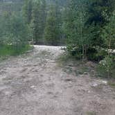
Road noise is the most consistent complaint. The corridor leads to trailheads for Mount Belford, Oxford, Missouri, and Huron, which means hikers begin moving through before 4:30 a.m. on busy weekends. The road surface is rocky and unpaved, which amplifies the sound of passing vehicles. "The road was active ALL night and day," Mackenzie R K. notes, recommending campers push further in, past mile 7 or 8, to reduce exposure. Weekday visits are noticeably quieter.
Crowds peak on summer weekends and around holiday weekends. Arriving by early afternoon on a Friday gives a reasonable shot at a site with creek access and some separation from neighbors. Altitude runs high here; reviewers flag the elevation as something to prepare for, particularly if attempting one of the nearby 14ers. Big rigs are listed as compatible with the road, though the surface gets rougher further in, and at least one section involves hairpin turns before the Missouri Gulch trailhead.
Campers wanting a more structured setup nearby can look at Clear Creek Reservoir, a fee-based Forest Service campground a few miles east that includes shore fishing access.
RV Road Trip Guides


Map & DirectionsChaffee County Road 390 Dispersed is located in Colorado near Granite
 Dispersed Camping
Coordinates
39.00321537 N
106.34422936 W
Connectivity
 T-MobileNo Coverage
- VerizonNo Coverage
- AT&TNo Coverage
Connectivity
- T-MobileNo Coverage
- VerizonNo Coverage
- AT&TNo Coverage
Access
- Drive-InPark next to your site
- Walk-InPark in a lot, walk to your site.
Site Types
- Tent Sites
- Standard (Tent/RV)
- Dispersed
Features
For Campers
- Alcohol
- Pets
- Fires
For Vehicles
- Pull-Through Sites
- Big Rig Friendly
DISPERSED CAMPING
Enjoy dispersed camping on government land and leave no trace. Pack in and pack out. No (or limited) services at this camping area. Permit may be required.
PERMIT might be REQUIRED
We curate permit requirements across the US for our PRO members. Try PRO to see if Chaffee County Road 390 Dispersed needs a permit.
Drive Time
- 2 hrs 16 min from Colorado Springs, CO
- 2 hrs 18 min from Denver, CO
- 2 hrs 28 min from Boulder, CO
- 2 hrs 30 min from Pueblo, CO