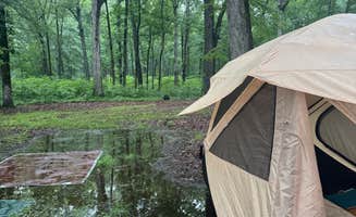
Camping sites near Holly Grove, Arkansas sit at the edge of the Mississippi Alluvial Plain with seasonal flooding that creates rich wetland habitats for wildlife. Most sites experience high humidity levels during summer months when temperatures can reach 90°F, while winter temperatures drop to around 30°F. The region's floodplain characteristics require campers to prepare for potentially muddy conditions during spring.
What to do
**Fishing: Multiple ponds and lakes attract anglers year-round at Mississippi River State Park Campground where boat rentals are available for exploring Bear Creek Lake. "From the time we arrived to the time we left the staff was great. The kayak tour of Cypress forest was the highlight of the trip. We could see water from every side of our camper," noted one visitor.
**Birdwatching: The region's wetlands support diverse bird species, particularly at Village Creek State Park where the unique Crowley's Ridge geology creates habitat diversity. "The Crowley's Ridge region of the state is home to unique geological formations, soil and plant life unlike anywhere else in Arkansas. The Big Ben Nature Trail offers a great opportunity to identify these unusual plant species," according to a camper.
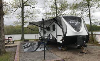
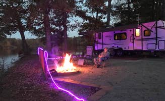
**Boat tours: H&G RV Campground provides convenient access to regional water features. A visitor noted, "Traveling across country on I-40, found this camp ground on the DYRT app. Close to Interstate, Love's station at exit." The camp serves as a strategic base for exploring nearby waterways.
What campers like
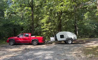
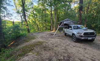
**Privacy between sites: Dispersed camping areas provide significant separation between campers. "Simple and spread out. There are some big spots. Most have a fire ring," mentioned one visitor to Dagmar Wildlife Management Area Campsites.
**Natural surroundings: Many campers appreciate the opportunity to stay in minimally developed areas. "It's raw no services but so nice," commented one Dagmar WMA visitor, while another mentioned, "Got in after dark and area was easily navigatable. Multiple large open camping areas."
**Budget-friendly options: Free camping sites represent a significant draw. A camper at Mike Freeze Wattensaw WMA described finding "a large pond with nearby primitive camping for free...very nice spot found it quickly at night. Soft ground. Quick to get to off highway."
What you should know
**Site identification systems: WMAs use specific marking systems for designated camping areas. At Dagmar WMA, "Sites a marked by blue bands on trees or signs. Lots of spots spaced far apart," while at Wattensaw WMA, "there are a ton of campsites down the gravel road and they are well marked. There are signs for designated camping and the trees have a blue ring painted around them."
**Navigation challenges: GPS services often fail to provide accurate directions to remote campsites. "Apple Maps and Google maps showed me two completely different places over half an hour away from each other with the same coordinates," warned a Wattensaw WMA visitor.
**Facilities limitations: Most wildlife management areas have no services. A camper at Riverfront RV Park mentioned, "The camp itself is pretty basic with gravel pull ins and few amenities. It is a city operated site (that is who you pay)."


 Traveler