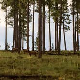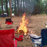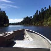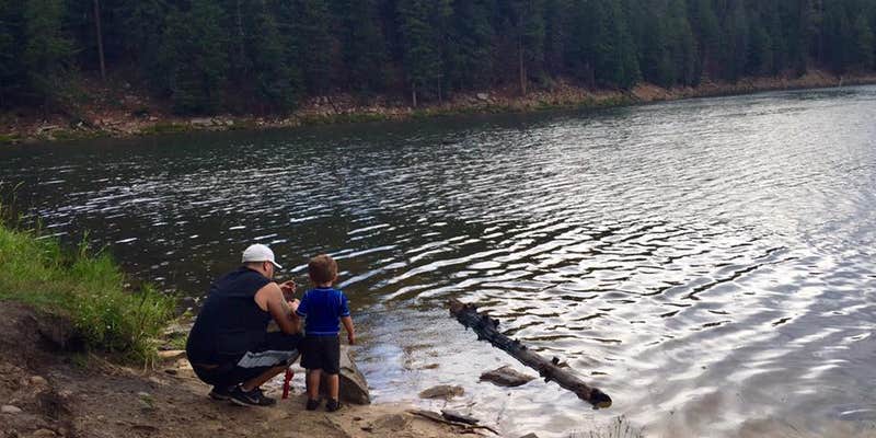
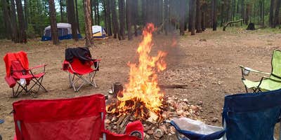
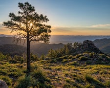
Situated along the Mogollon Rim in Sitgreaves National Forest, Rim Lakes Recreation Area spans a network of lakes including Bear Canyon, Black Canyon, Woods Canyon, and Willow Springs. The terrain is forested. Roads into the area are passable without 4x4 in dry conditions, but rain or snow raises a real risk of getting stuck, and a high-clearance vehicle extends access considerably. Pets are not permitted. Nearby, Crook Campground sits just 0.3 miles north for those who want a close alternative. Hikers and photographers will find the area well-suited to both, with places to camp near Forest Lakes for those staging a longer trip through the region.
Description
Rim refers to the Mogollon Rim that extends nearly 200 miles from just southwest of Flagstaff to the White Mountains of eastern Arizona. The Mogollon Rim marks the southern edge of the Colorado Plateau and is thousands of feet high in some areas. The average elevation of the rim is about 7000 feet and the area is known for its ponderosa pine forests that form the largest stands of this tree in the United States.
RV Road Trip Guides

Map & DirectionsRim Lakes Recreation Area is located in Arizona near Forest Lakes
 Public Campground
Coordinates
34.31140828395809 N
110.94061490352031 W
Connectivity
 T-Mobile5GExcellent CoverageVerified by 16 usersLast on 10/24/26
 VerizonLTESome CoverageVerified by 6 usersLast on 10/24/26
- AT&TLTESome CoverageVerified by 5 usersLast on 10/24/26
Connectivity
- T-Mobile5GExcellent CoverageVerified by 16 usersLast on 10/24/26
- VerizonLTESome CoverageVerified by 6 usersLast on 10/24/26
- AT&TLTESome CoverageVerified by 5 usersLast on 10/24/26
Access
Features
Drive Time
- 1 hr 55 min from Phoenix, AZ
- 1 hr 55 min from Prescott Valley, AZ
- 2 hrs 6 min from Flagstaff, AZ
- 3 hrs 11 min from Tucson, AZ